November 27, 2011
Climbers: Joe Carberry, Chris Duval, & Darin Baker
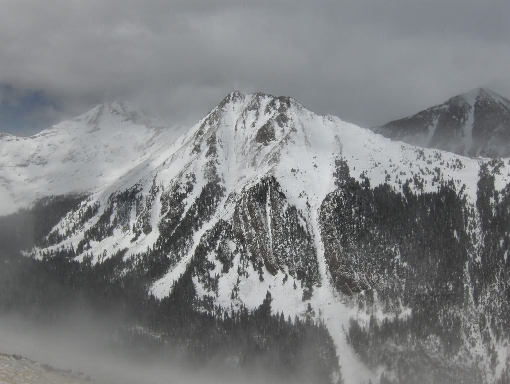
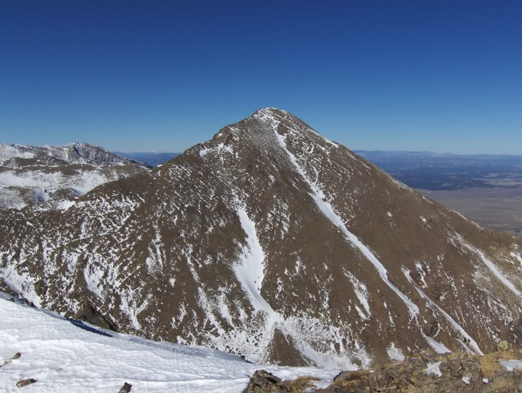
Little Horn Peak (13,143')
Sangre de Cristo Range
Little Horn Peak, as seen from Little Baldy Mountain in March 2011
Trailhead: Horn Creek
Route: E/NE ridge
Distance: ~7.5 RT (roundtrip)
Elevation Gain: ~4050'
Difficulty: bushwack with boot-to-knee deep snow to gain ridge, exposed class 3 rock scrambling on upper portion of ridge - some class 4 sections are available for play too
Gear: daypack w/Essentials, snowshoes, winter-ready attire (e.g., goggles, facemask, extra mittens, etc.), I brought an ice axe too - but it wasn't needed
Resources Used For Trip Planning: TOPO! mapping software, NOAA weather forecast, Colorado's Thirteeners guidebook by Roach & Roach (for directions to TH - which is used for their route description & approach to Mt Adams)
Foreword
Thanksgiving has come and gone, so it's time to get out and burn some calories from the gluttony. But I don't really need that excuse to get to the mountains, nor should I blame Thanksgiving for my typical overindulgence with food.
It just so happens that Joe wants to get out to the mountains.
Chris has been granted permission to get out - after all - it's his birthday, he should be able to do what he wants! (Thank you Griselle for letting him out!)
And I always want to get out.
The Sangres are a good bet: weather forecast is good, the drive is rather short from the Springs, and it's not hard to find a quality peak in the range!
Quality Peaks & Then Some
The Approach
We started out from the Horn Creek TH (near the bathroom - which is locked up for the season - WTF?) and headed W to connect with the Rainbow trail, with the intentions of going N for a short distance before starting our bushwack towards the NE ridge of Little Horn.
There's snow from the get-go, but we decided to boot it for a while, as it wasn't that deep yet. The recent wind storm that hit the state was evident in the forest, with debris and the occasional tree down here and there, but it did not become an issue getting through the forest.
Starting our bushwack
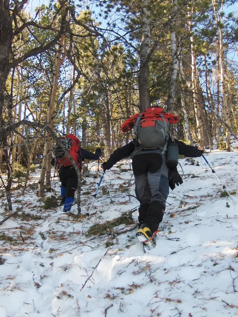
Getting higher, snow is getting deeper, and still carrying snowshoes
The snow down low was about boot deep. The higher we got, the deeper it got. Weird how that works! Overall, the snow wasn't horrible to trudge through. On the southerly aspects, the snow is somewhat firm at times, but venture towards the northerly aspect and it does not support weight.
Eventually the snow was consistently mid-shin to knee deep. At what elevation did this occur you may ask. I have no idea would be my answer.
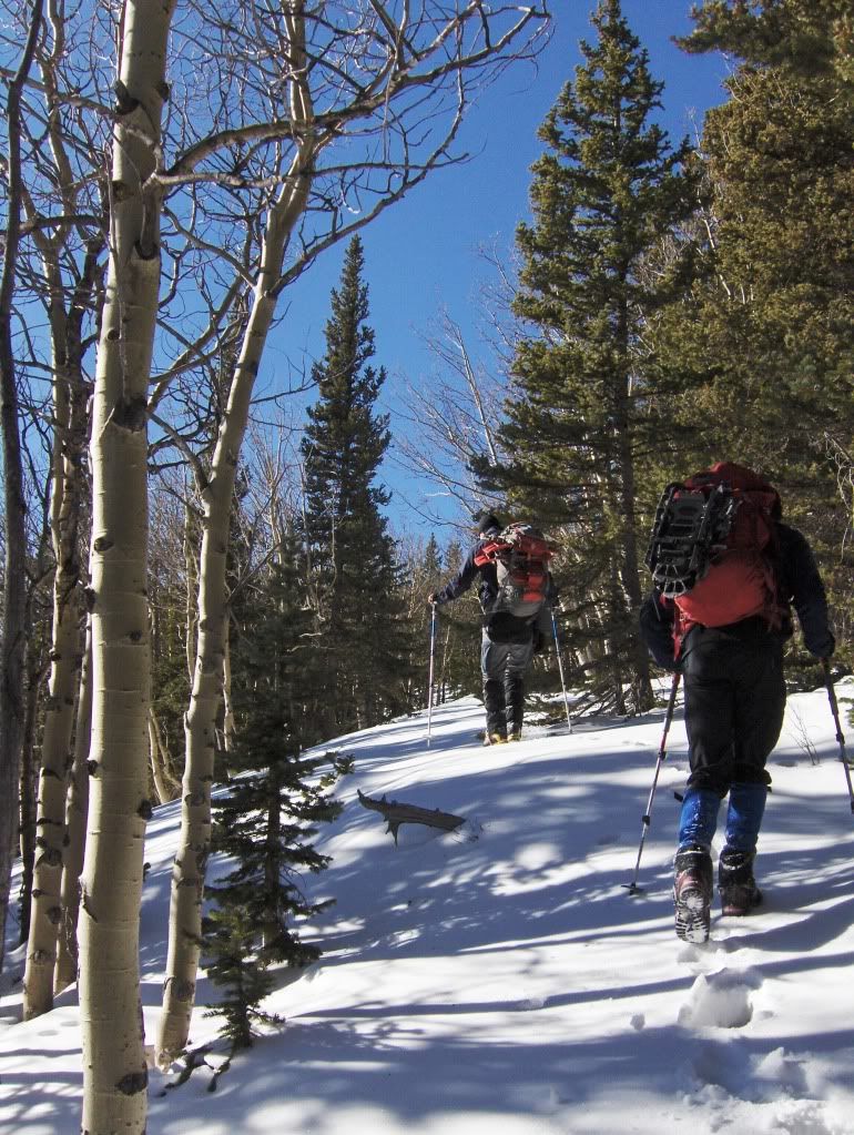
But what I can say is that for some reason, we never put our snowshoes on during our ascent. I dubbed our track the "SS Booter." (too Stupid & Stubborn to put snowshoes on)
SS Booter
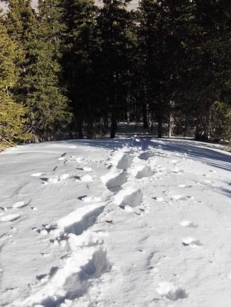
Personally, I think it felt good to put in some extra effort to break trail and to get to the windswept ridge without the aid of snowshoes. We each took turns in front, and soon enough (or maybe not soon enough?) we were breaking out of the trees.
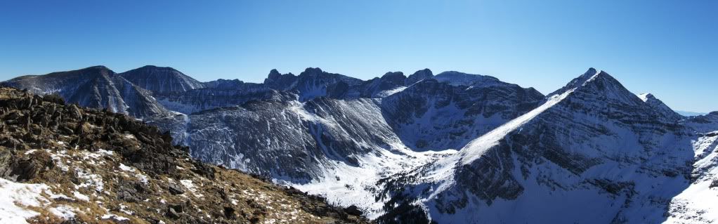
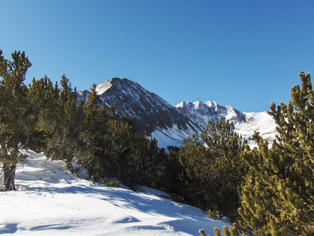
First look at Little Horn on the left, with Fluted to the right
Somewhere around ~11,400' we stashed our shoes and continued up the ridge.
Peace
The Climb
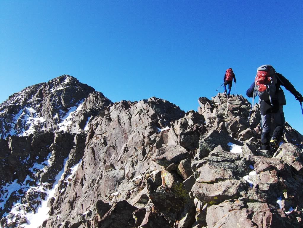
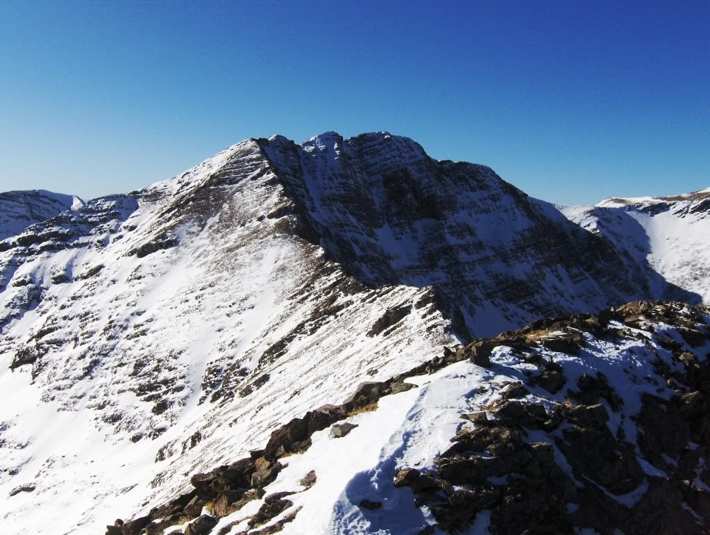
Windswept ridgeline awaits

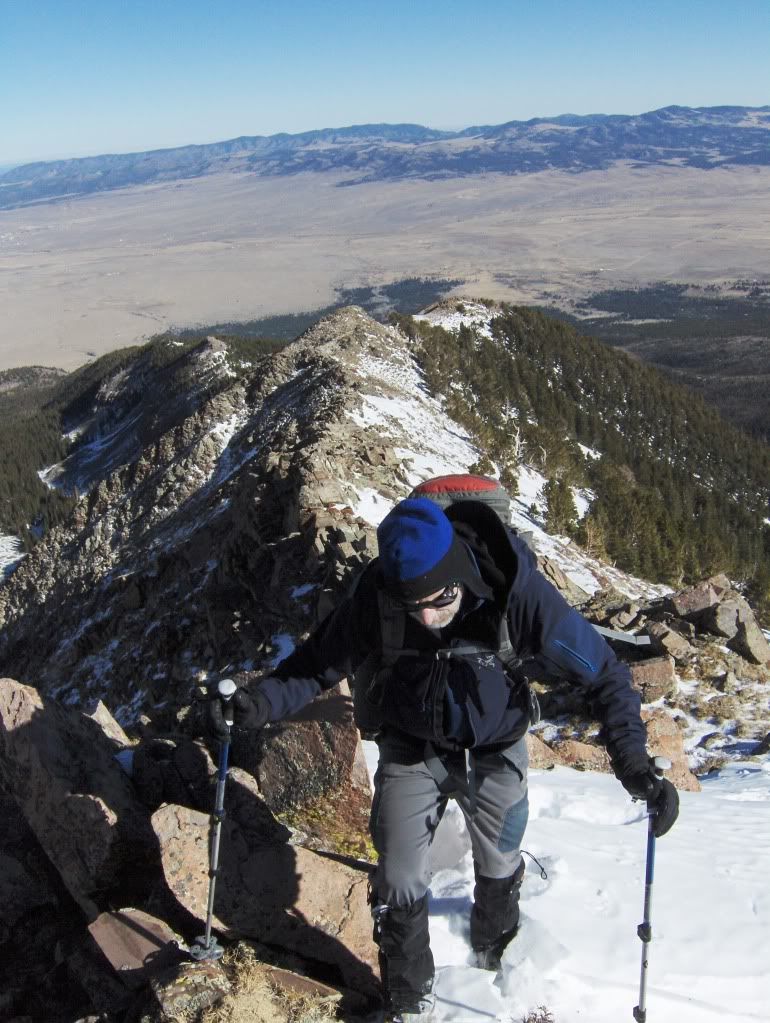
Mr. Duval
And just when I thought we were about to top out, oh no, wait, there's more
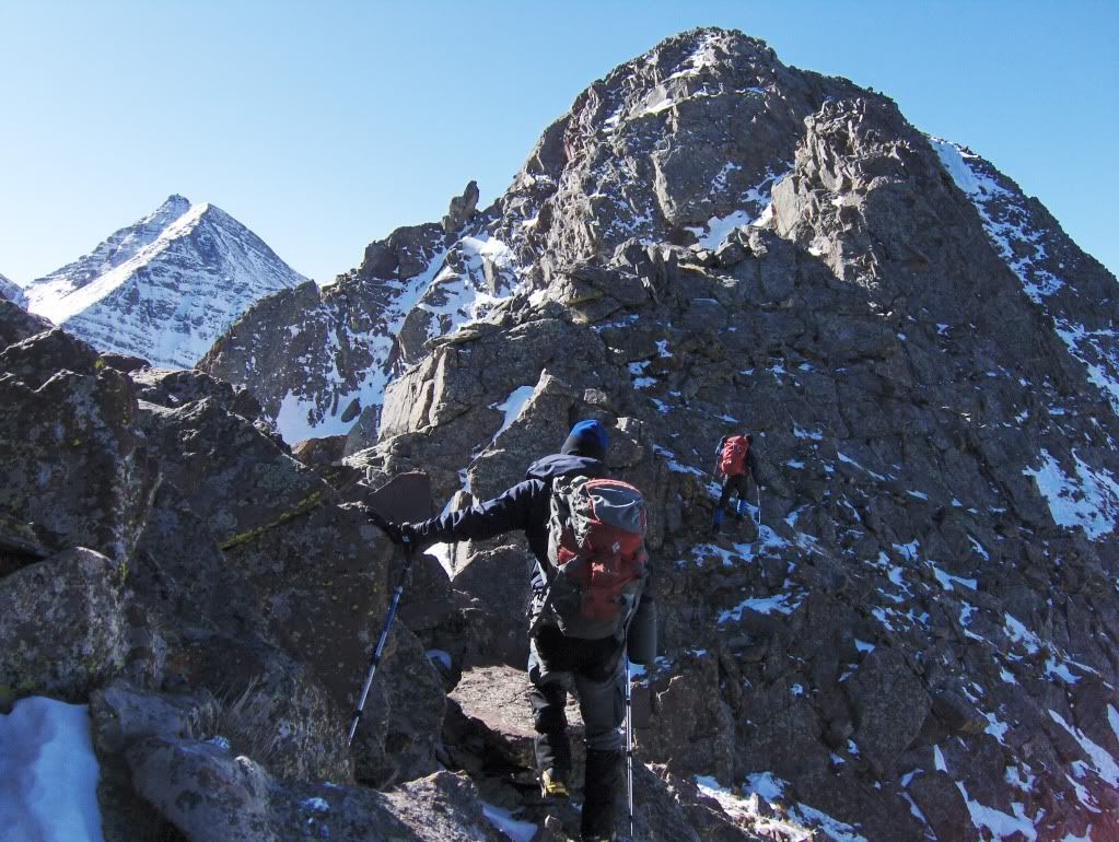
This ridge reminds me of Dave Cooper's description for W Partner in his scrambles guidebook, where he states the ridge "becomes progressively more interesting as the summit is approached."
I'm not trying to suggest this ridge scramble compares to the scrambling on W Partner, but it does continue to become more interesting the further along you go, and it does have some decent yet moderate scrambling on it.
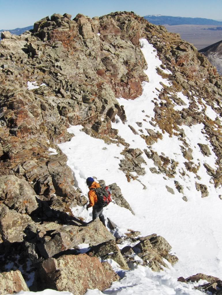
Chris downclimbing into a notch along the ridge
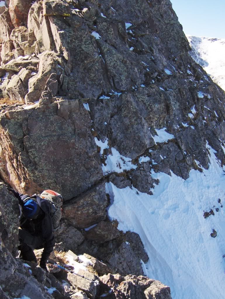
The above photo gives the appearance that the terrain in the background is steep and badass. The photo is deceptive. But it is fun!
Joe stayed on or at least close to the ridge proper to the summit; whereas Chris and I stayed on the N side and below the ridge to the summit. Either way goes, but if I were to do this route again I would stay on the ridge proper. I stayed fairly close to the ridge or on it for the descent, and it felt more exciting than the ledges on the N side that we encountered on the ascent.
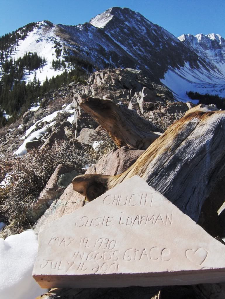
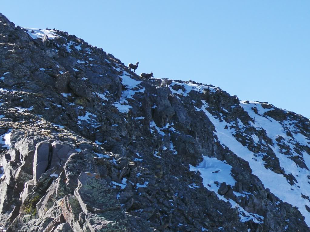
The summit must be near, because there's the welcoming party
Summit Views
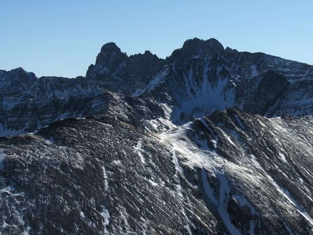
Crestone Needle and Crestone Peak (l. to r.)
Little Baldy, Colony Baldy, and Humboldt (front to back)
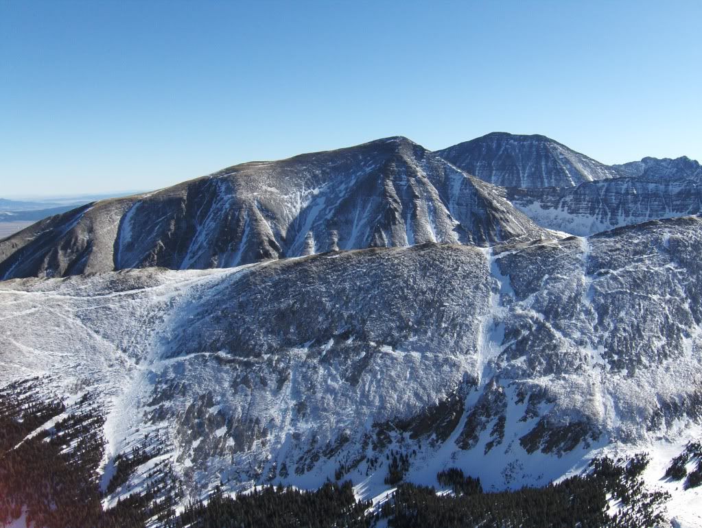
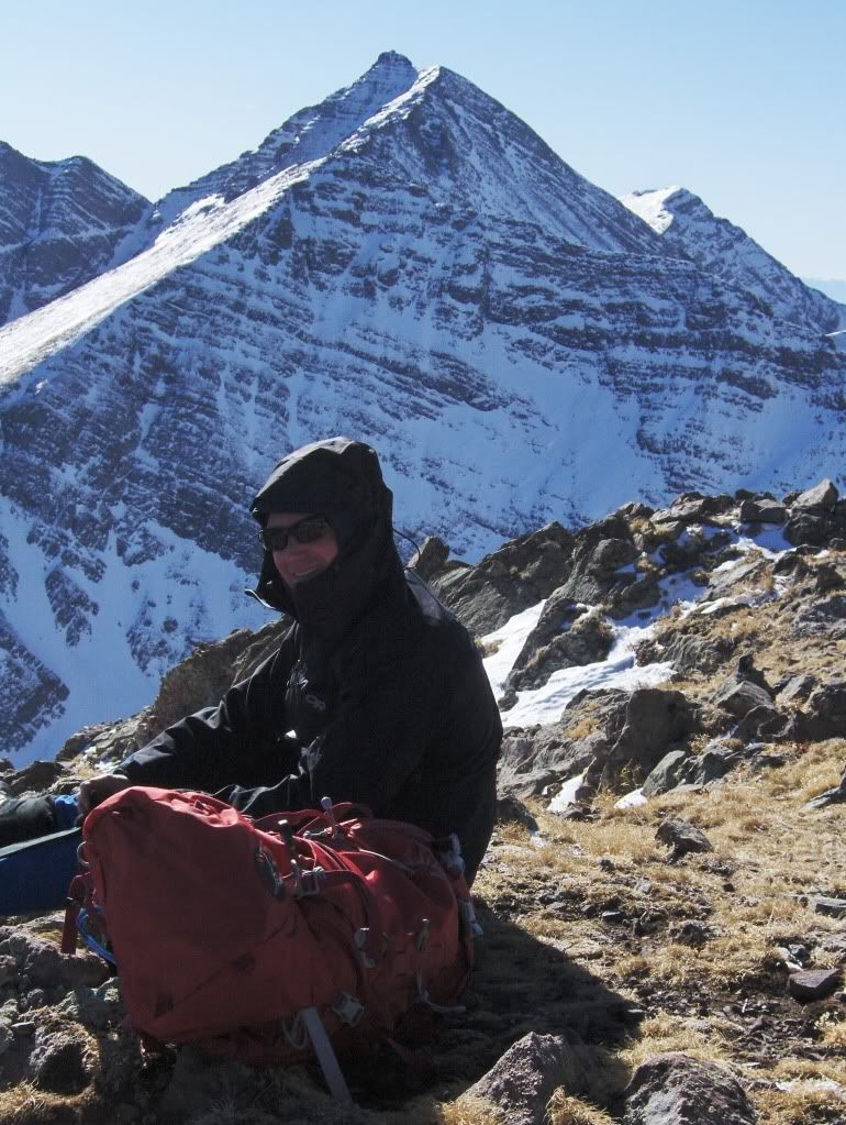
Joe with Mt Adams (13,931') as the backdrop
Fluted Peak (13,554')
Horn Peak (13,450')
After a short stay, we departed the summit and made our way back down the ridge.
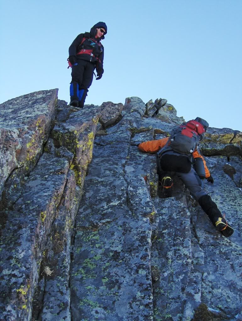
Short 4th class corner
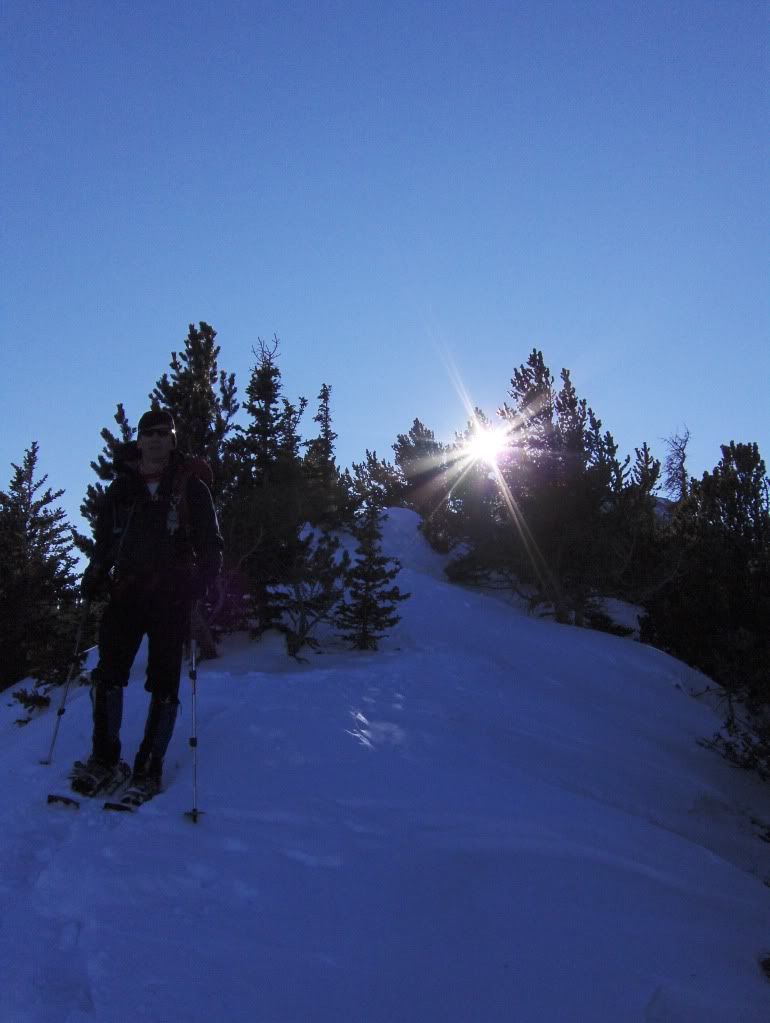
Back at our snowshoe stash, we did what most people would do. We put them on. (Chris, it's ok, you'll get over it. Bring your tele gear next time!)
Sun is getting lower
Going back down our SS Booter went smooth with the shoes on. A trench is in place for poaching. You're welcome!
Great day out gentleman, and I'll look forward to the next time!
And Happy Birthday once again Chris!
Thanks for reading,
Darin
|


