Download Agreement, Release, and Acknowledgement of Risk:
You (the person requesting this file download) fully understand mountain climbing ("Activity") involves risks and dangers of serious bodily injury, including permanent disability, paralysis, and death ("Risks") and you fully accept and assume all such risks and all responsibility for losses, costs, and damages you incur as a result of your participation in this Activity.
You acknowledge that information in the file you have chosen to download may not be accurate and may contain errors. You agree to assume all risks when using this information and agree to release and discharge 14ers.com, 14ers Inc. and the author(s) of such information (collectively, the "Released Parties").
You hereby discharge the Released Parties from all damages, actions, claims and liabilities of any nature, specifically including, but not limited to, damages, actions, claims and liabilities arising from or related to the negligence of the Released Parties. You further agree to indemnify, hold harmless and defend 14ers.com, 14ers Inc. and each of the other Released Parties from and against any loss, damage, liability and expense, including costs and attorney fees, incurred by 14ers.com, 14ers Inc. or any of the other Released Parties as a result of you using information provided on the 14ers.com or 14ers Inc. websites.
You have read this agreement, fully understand its terms and intend it to be a complete and unconditional release of all liability to the greatest extent allowed by law and agree that if any portion of this agreement is held to be invalid the balance, notwithstanding, shall continue in full force and effect.
By clicking "OK" you agree to these terms. If you DO NOT agree, click "Cancel"...
Approach: Baldwin Gulch
Length: About 16.5 miles
Vertical: About 6100 feet
Ascent Party: Andy Fowler, Carol, Curtis, Brian (Climbingbiz) David, Kristin, Jim, and two guys in a Jeep we met at the TH.
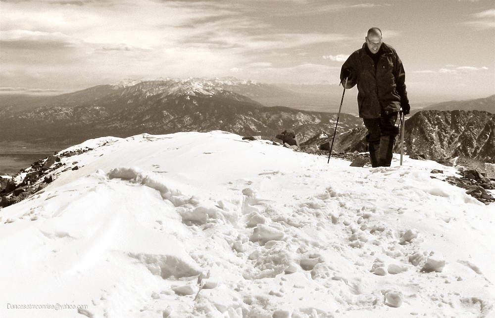
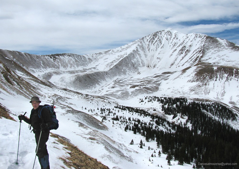
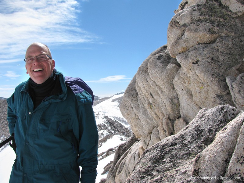
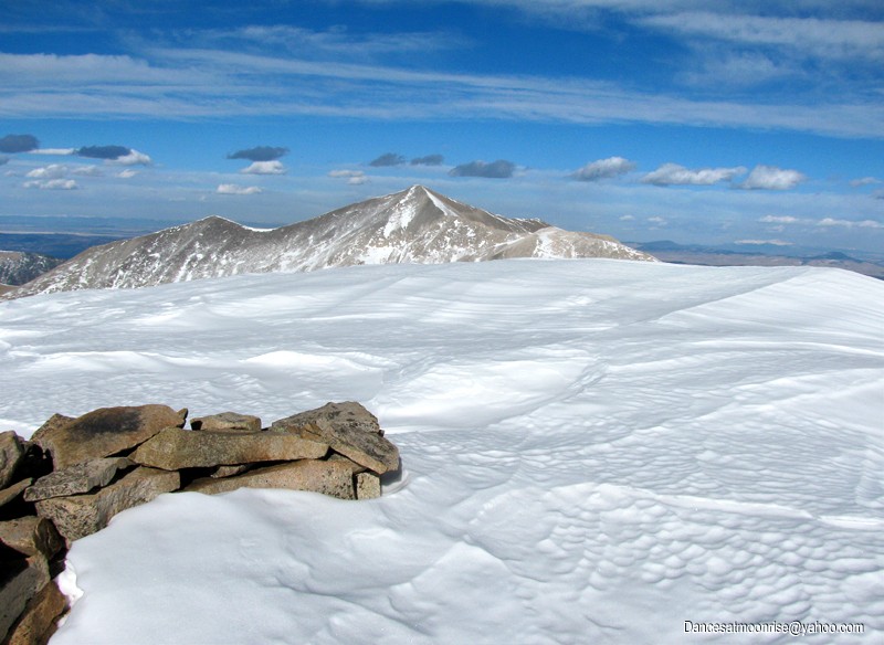
Dr. Andy Fowler crests the summit of Mt. Antero, with the northern Sangre de Cristo range in the distance.
It's been a tough winter. Well, maybe a weird winter. It started pretty dry, creating an alpinists' frenzy for attaining the most difficult winter peaks.
Soon the snows came, leaving what many experts called the worst snowpack for avalanche hazard in thirty years.
Many of us were content to wait things out, or consider less hazardous routes.
Andy and I considered three potentially concerning areas on Antero, but given the easing late-season avalanche forecast and more consistent weather,
we decided to go for it. Carol and Curtis, from our local group, joined us, as did Brian, David, and Kristin, who connected with us through 14ers.com.
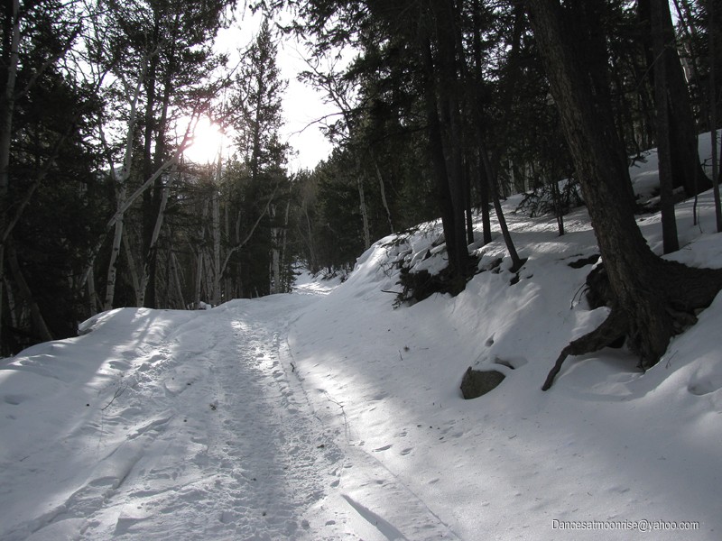
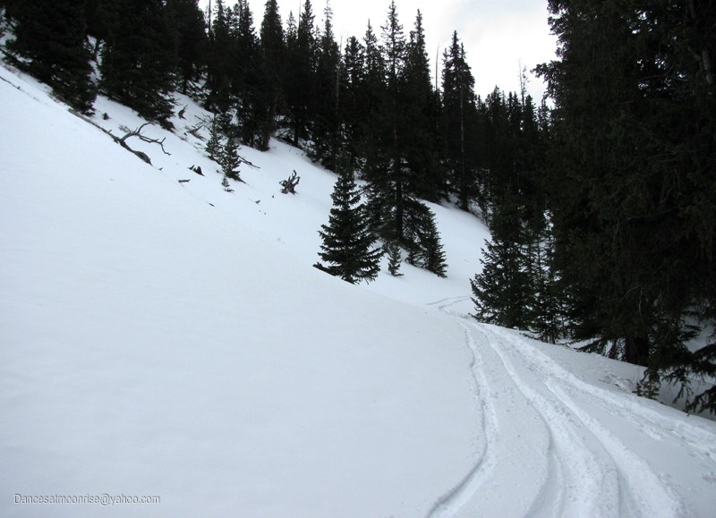
The Baldwin Jeep Road is still unpassible by vehicle.
Our meeting time is 7:30. I arrive first, but ironically, end up leaving the TH last, forgetting glacier glasses and having to go back to the car.
Most of us get started by 8:30 am. My second start is an hour later. At the TH we meet two guys in a Jeep who start about 8.
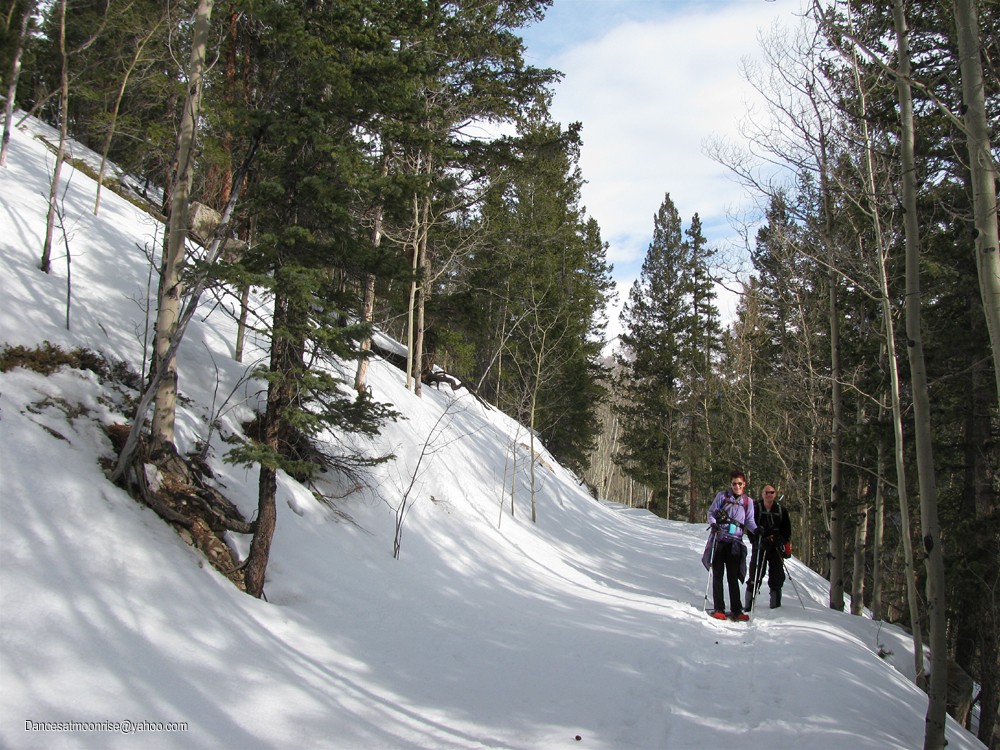
Carol and Curtis enjoying the Baldwin Jeep Road.
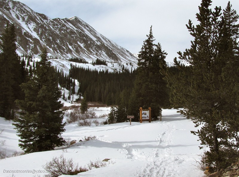
The stream crossing, around 10,850.
I catch up to Brian, David, and Kristin, right after the stream crossing, but still no sign of Andy. No worries, he knows to keep going.
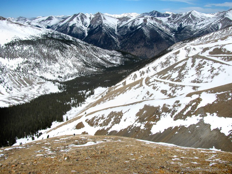
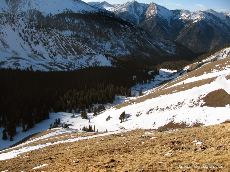
We're well past the first area of concern: steep east-facing terrain above the road just before the stream crossing. Pretty much a non-issue.
The second area of concern, at treeline, beyond the stream crossing.
Normally I would not be too worried about things, but we've seen plenty of examples of remotely triggered slides from low-angle terrain this year.
The second area of concern, though, also turns out to be a non-issue, with no visible or auditory signs of instability today.
At the end of the trees, I catch up to Andy. We take the dry NW rib just past the switchbacks. While many prefer the gullies,
we kind of figure that a dry slope with nothing above is pretty safe from avy danger.
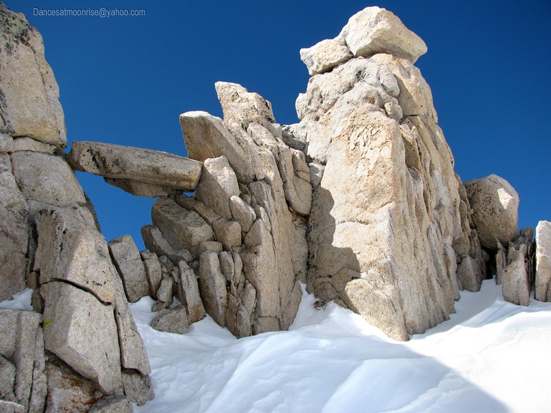
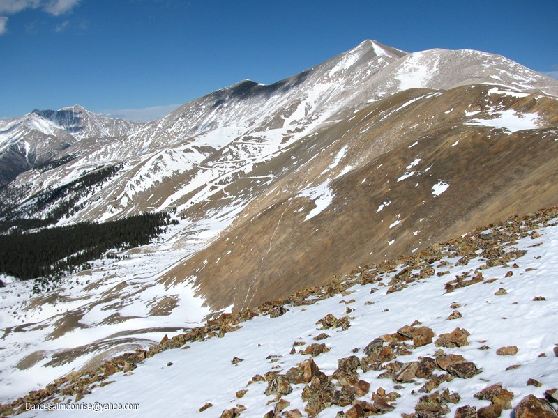
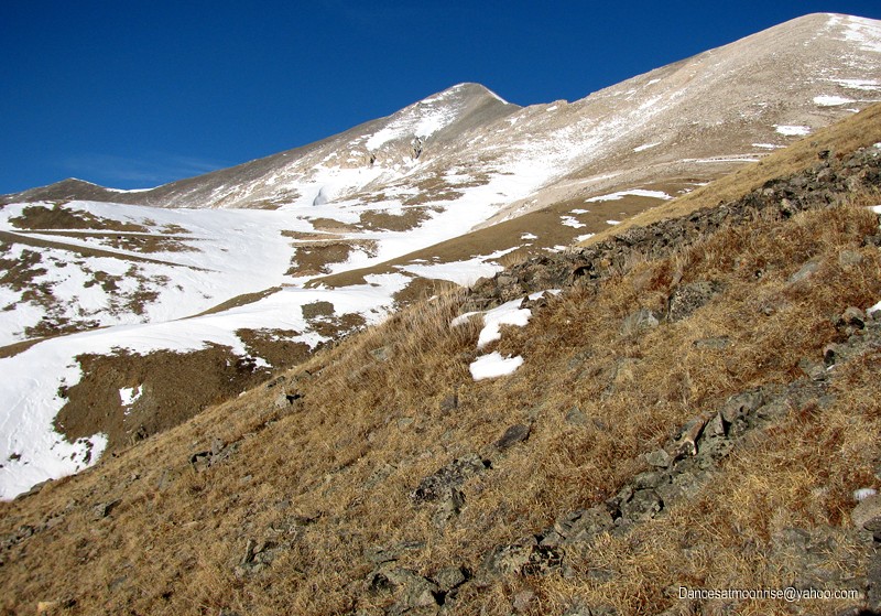
This is a beautiful climb, somewhat reminiscent of Belford's NW ridge climb. This rib ascends approximately 1000 vertical feet, from 12,000 to
13,000, gaining the alpine flats below, and SW of, point 13,800.
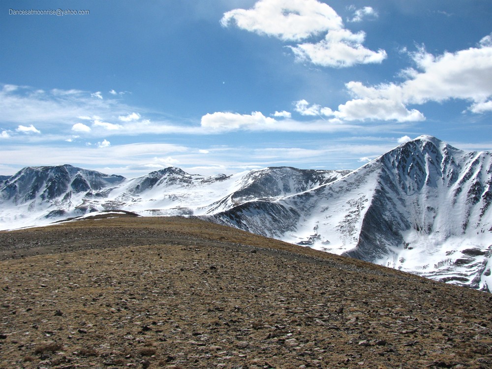
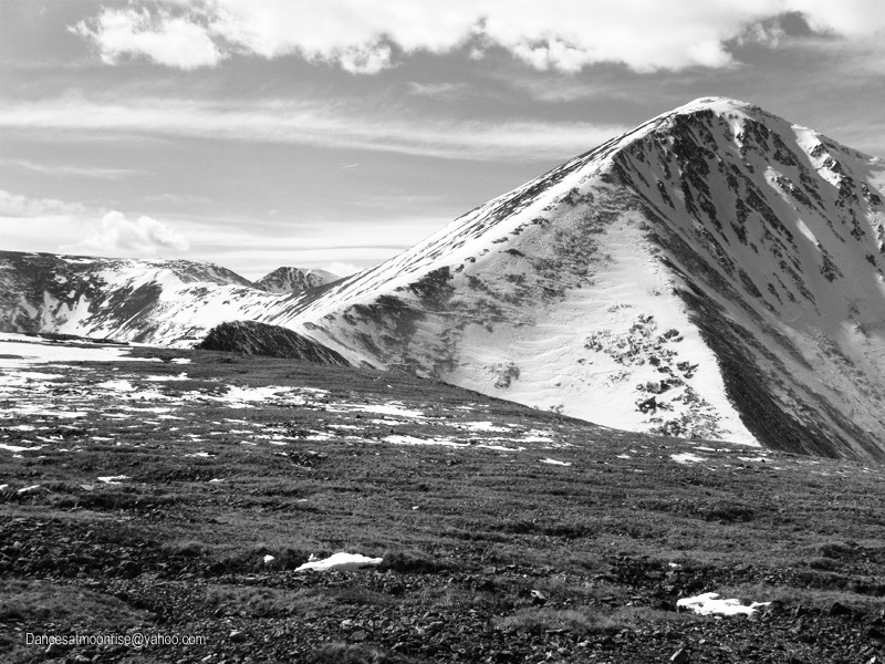
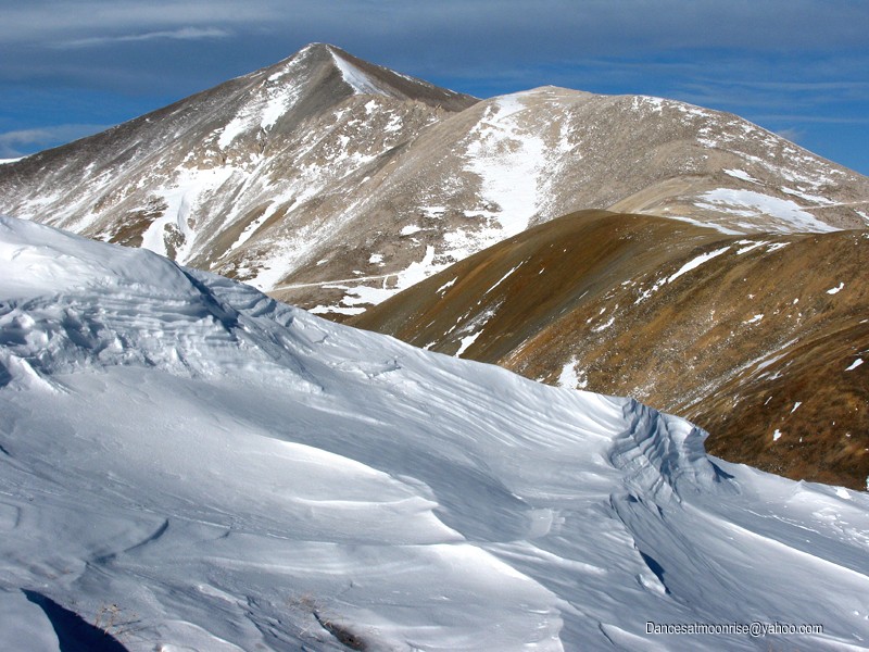
Andy nearing the top of the NW rib, with beautiful Cronin Peak, a late-day prospect, looming in the distance.
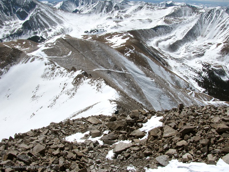
A glance toward Antero's summit, just north of Point 13,800.
Looking down the NW rib to treeline.
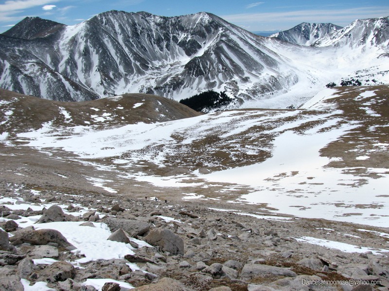
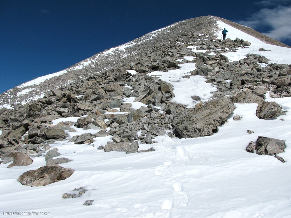
Nearing the flats at 13,000.
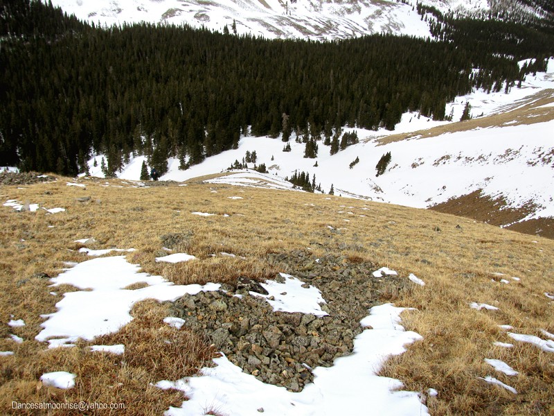
On the flats at 13,000, terrain is mostly dry. I take the south-facing talus to 13,800; Andy hooks up with the guys from the Jeep and they take
the road around. Turns out the road is better, and we take it on our way back.
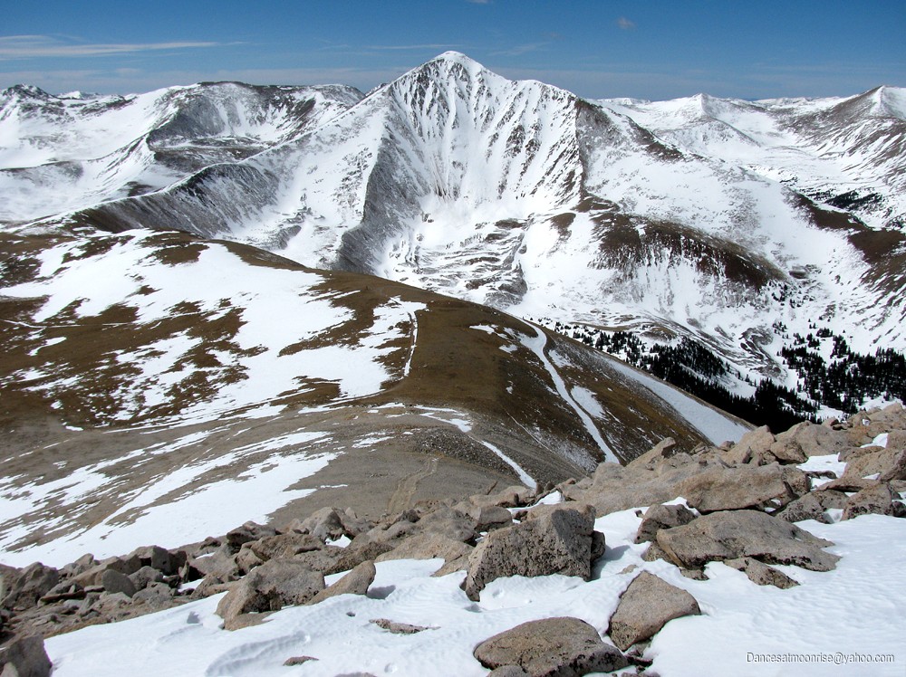
Ascending the south side of 13,800.
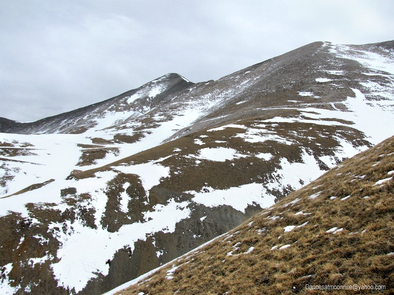
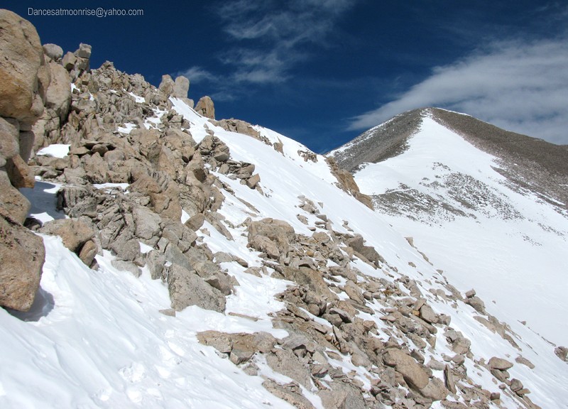
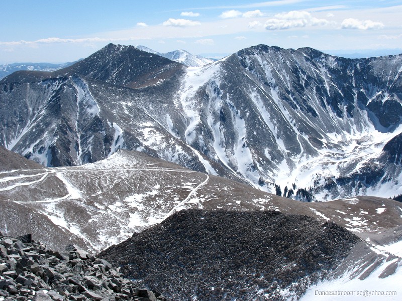
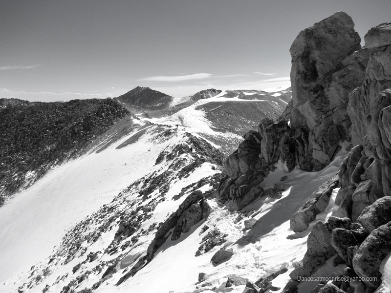
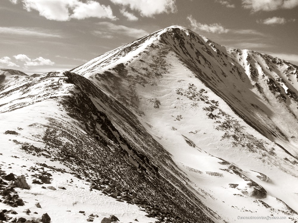
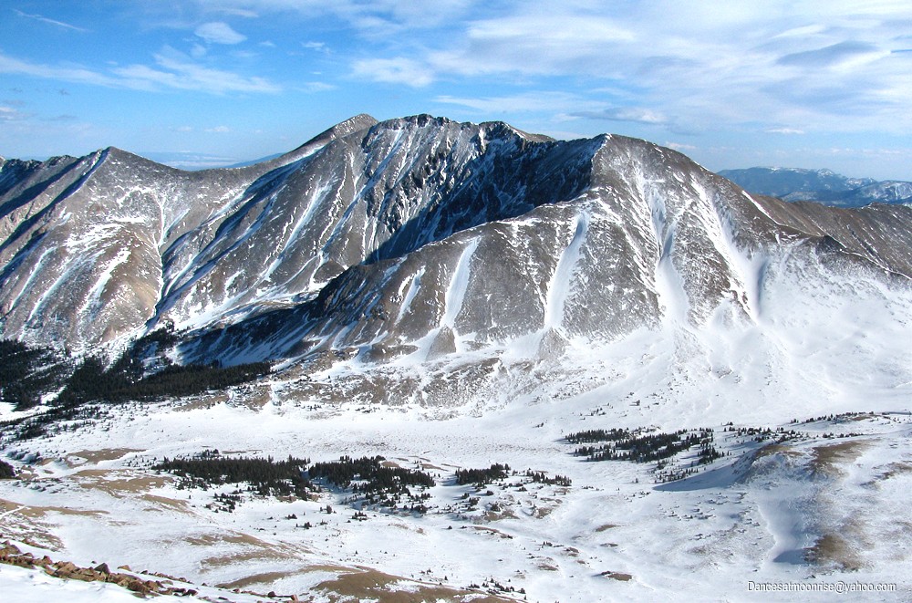
Most of the ridge to Cronin Peak is visible from Point 13,800.
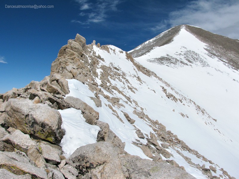
Andy and I meet in the saddle at the beginning of the south summit ridge. Most of the way is straightforward. There is one section where
steps go across steep snow, with a large loaded roll to the east. I plunge a ski pole to the outside. It drops straight through.
This section is avoidable with some difficult third class rock just ten or twelve feet above. The kicked steps stay to the inside on the lower section.
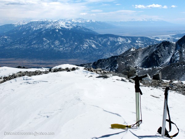
Andy nears the summit of Mt. Antero.
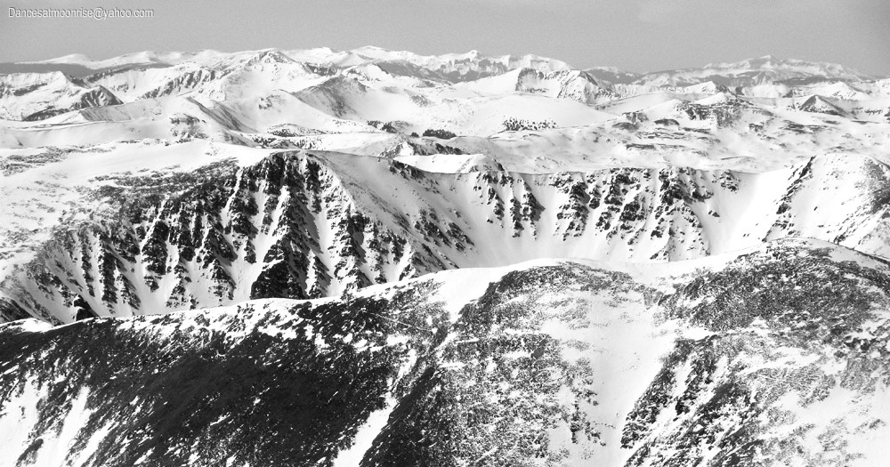
Most of the summit ridge can be seen in the left side of this photo.
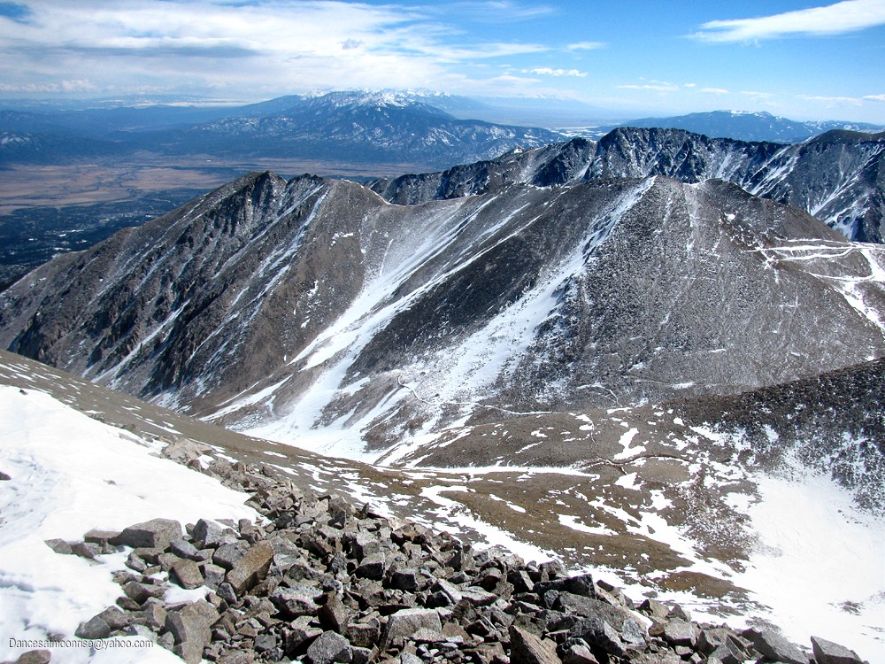
The northern Sangre de Cristo range is seen to the south of Mt. Antero's summit.
Shavano and Tabeguache.
Looking north to Mt. Princeton.
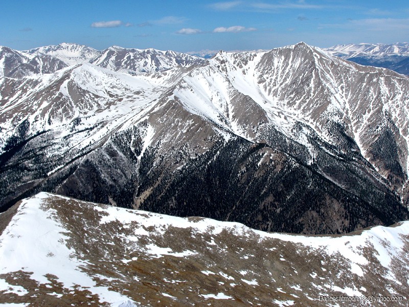
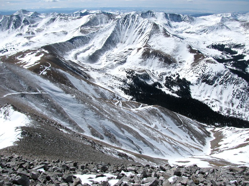
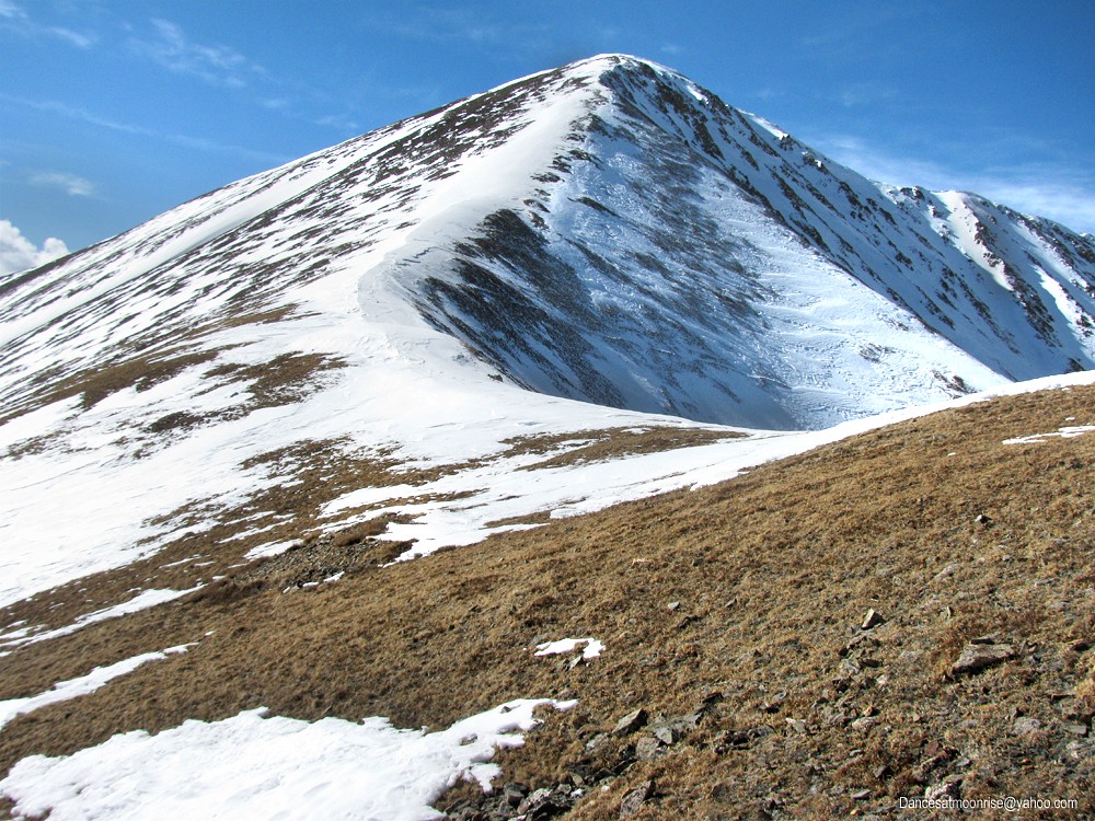
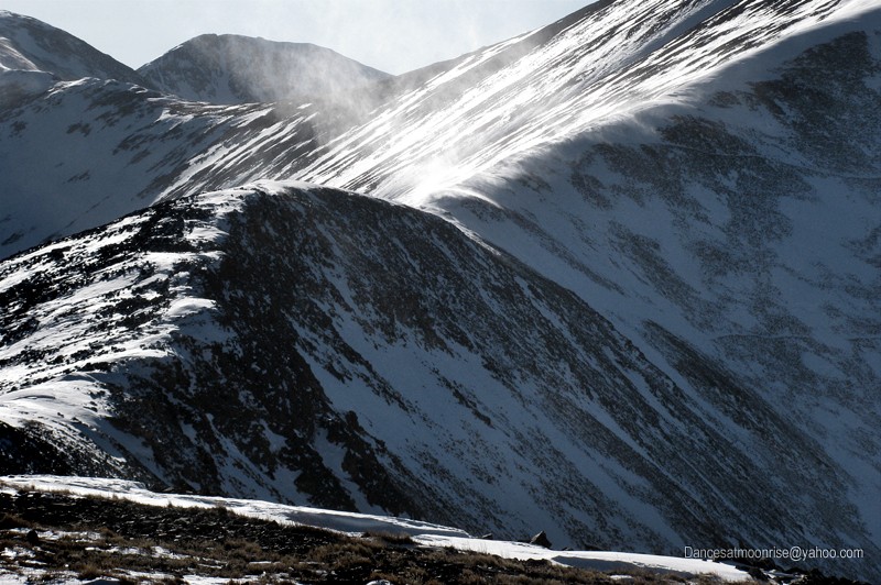
East aspects are still pretty well covered.
Looking down the first gully. Don't be fooled; the upper section is steep and loose. It gets done, but may not be the best winter route.
On our way back down, Andy is concerned that his wife will worry about him if he doesn't get back soon. We bump into the rest of the crew
on our way down to the alpine flats. Funny, can't seem to interest anyone in a Centennial peak today. Decision time...
Andy and I wish each other well, part ways, and I'm off to Cronin. The winds are howling, but there's plenty of sun in the sky and light in the pack.
The flat section over to Cronin actually drops a few hundred verts. Surprise! More climbing that anticipated. No worries. It's the wind...
Looking back to Antero, from Cronin's east ridge.
The winds get a little aggressive. The legs are willing but the brain keeps saying hold on. I keep going. Haven't had to crouch down yet.
The snow is hard and slick, with occasional crusty areas. Not the fun spikeable stuff hoped for. I switch between snow and rock.
Finally near the summit, things get interesting. A short steep section of snow and a big cornice. A little fun right near the top.
The summit of Cronin Peak, looking toward Antero.
Tabeguache.
Antero.
The wind gets worse.
On the way back things get a little out of control. I have to crouch down a few times for gusts. Thoughts occasionally surface, of having
to bail. Problem is, there is no convenient bail-out. This could get interesting.
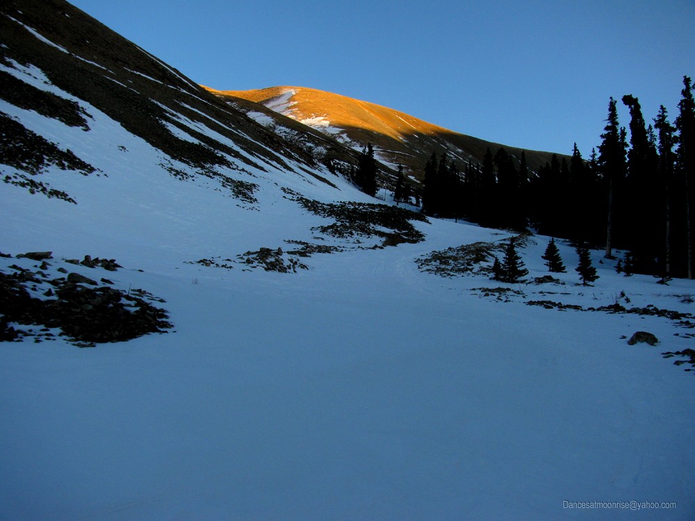
Finally, about half-way down the NW rib, the winds back off to merely irritating. It's in the bag now. There will be some headlamp travel,
but no major concerns. Besides, a nice water stash waits at the stream crossing.
The end of the day is beautiful, as always. It's quiet. Last one on the mountain. I get to the water stash and take a break.
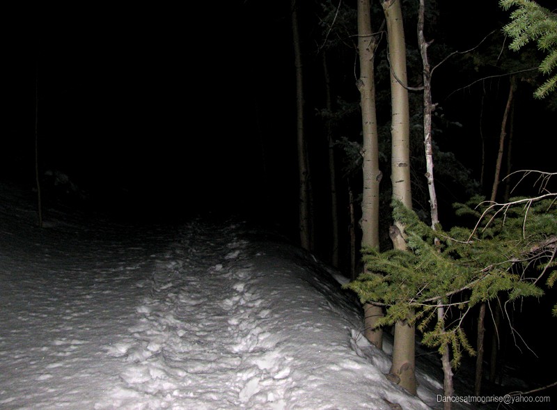
Donning headlamp and layering up a bit, I prepare for the slog - no skis today. It's been a great day, if a little long.
I arrive to an empty parking lot. Feels good to get the pack off, tear off the boots, and dig into some chips and salsa.
Andy, great climbing with you again. Carol, Curtis, good seeing you guys. Brian, nice to meet you and David and Kristin.
...especially love image #6 with Alan and Cronin Peak! That range certainly looks more interesting and appealing with the snow on them. Thanks for posting!
you could make Antero look so nice...and the Baldwin Jeep Road route look appealing? This TR does it! I especially like photo #31 with the redish/brown hues on that saddle.
Pictures and report are awesome.
l'll be using your beta to grab these two peaks Friday this week.
You are an inspiration. I need to get more done.
Caution: The information contained in this report may not be accurate and should not be the only resource used in preparation for your climb. Failure to have the necessary experience, physical conditioning, supplies or equipment can result in injury or death. 14ers.com and the author(s) of this report provide no warranties, either express or implied, that the information provided is accurate or reliable. By using the information provided, you agree to indemnify and hold harmless 14ers.com and the report author(s) with respect to any claims and demands against them, including any attorney fees and expenses. Please read the 14ers.com Safety and Disclaimer pages for more information.
Please respect private property: 14ers.com supports the rights of private landowners to determine how and by whom their land will be used. In Colorado, it is your responsibility to determine if land is private and to obtain the appropriate permission before entering the property.