Download Agreement, Release, and Acknowledgement of Risk:
You (the person requesting this file download) fully understand mountain climbing ("Activity") involves risks and dangers of serious bodily injury, including permanent disability, paralysis, and death ("Risks") and you fully accept and assume all such risks and all responsibility for losses, costs, and damages you incur as a result of your participation in this Activity.
You acknowledge that information in the file you have chosen to download may not be accurate and may contain errors. You agree to assume all risks when using this information and agree to release and discharge 14ers.com, 14ers Inc. and the author(s) of such information (collectively, the "Released Parties").
You hereby discharge the Released Parties from all damages, actions, claims and liabilities of any nature, specifically including, but not limited to, damages, actions, claims and liabilities arising from or related to the negligence of the Released Parties. You further agree to indemnify, hold harmless and defend 14ers.com, 14ers Inc. and each of the other Released Parties from and against any loss, damage, liability and expense, including costs and attorney fees, incurred by 14ers.com, 14ers Inc. or any of the other Released Parties as a result of you using information provided on the 14ers.com or 14ers Inc. websites.
You have read this agreement, fully understand its terms and intend it to be a complete and unconditional release of all liability to the greatest extent allowed by law and agree that if any portion of this agreement is held to be invalid the balance, notwithstanding, shall continue in full force and effect.
By clicking "OK" you agree to these terms. If you DO NOT agree, click "Cancel"...
I left Denver on Friday after work and made a great time to the town of Crestone. I drove my Subaru all the way to the Willow and South Crestone TH last year, so I was not expecting anything different this time, but about 0.5 miles below the TH I was presented with the unexpected challenge - a sandy washed up road. At 9pm it looked worse than it would during the day, so I decided to back off and find an alternative (and hopefully level) spot to park, but got stuck on sandy shoulders and ditches on two separate occasions. After that I decided to play safe, parked the car 0.6 miles down the road and went to sleep around 10pm.
Maybe it was the "excitement" of the previous night or the long work week, but I had to hit several snooze buttons the next morning. By 6.30am I was awake, but still had to pack my overnight backpack and eat breakfast. Finally, around 8.20am I was ready to go. Not willing to risk getting the car stuck again, I decided to hoof it up the road to the TH - in the end, it added about 40 minutes to the roundtrip. I was patting myself on the back for being such a prudent driver until I arrived to the "Willow and South Crestone TH" and saw an identical car to mine, which made it all the way to the TH. Oh well, maybe they had better tires!
A car similar to mine parked at the TH - oops!
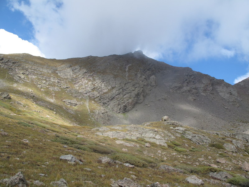
My plan was to hike in, drop the pack and possibly tag Adams and the bi-centennial (Pt 13,580), if the weather and my conditioning allow. Although the forecast looked decent (with 30% chance of precipitation), the sky did not look promising from the get-go. The menacing-looking clouds were handing on the high peaks from around 10am, and as I was hiking in (late, and further from down the road), I was thinking that Adams is probably not going to happen.
Clouds on the hike in (around 10am)
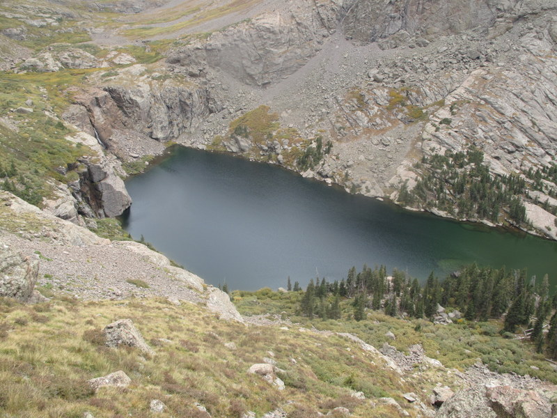
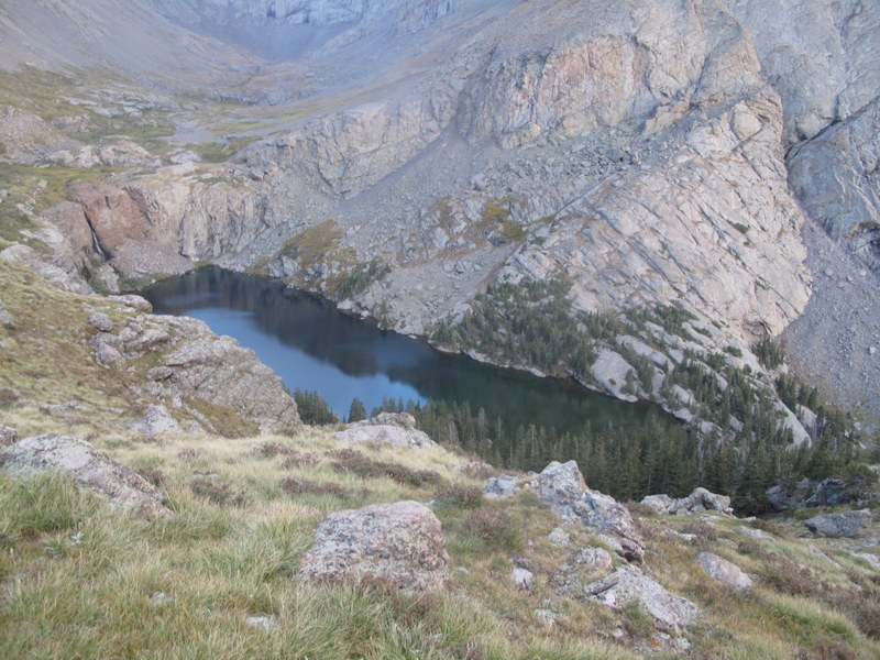
The hike into the Willow lake basin following a familiar trail was uneventful, and I was able to find a great camping spot about 350 feet from the lake (the sign says that camping closer than 300 feet is not allowed, although I saw at least two groups camping by the lake, so the rule is probably not enforced).
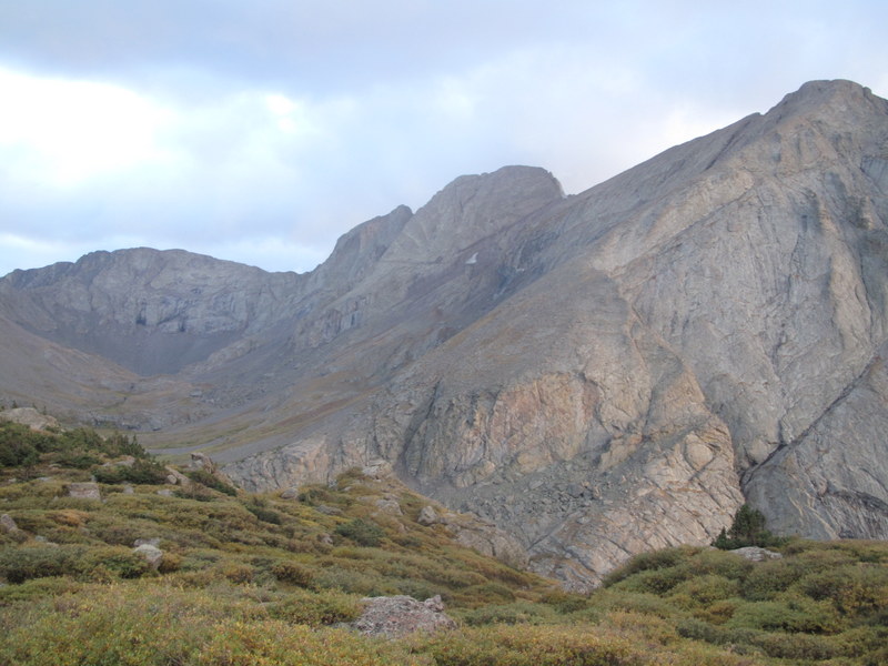
Look in the direction of the Adams group from the campsite
I set up the camp, had lunch and kept watching the clouds. They did not look great, but were not deteriorating any further. Finally, around 2pm, tired of waiting, I decided to give it a try and see if I a) can find the trail up Adams b) have a chance to summit if the weather holds.
Improving weather? @ ~2pm
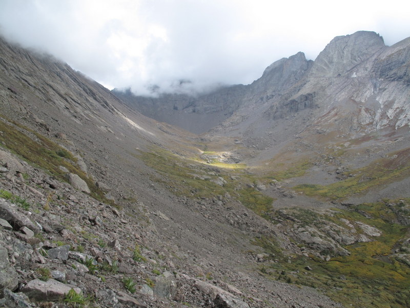
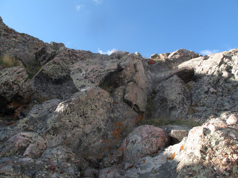
Being new to the 13er "game", I really don't know what to expect, and my only guidance was the route description from the Roach book and a GPS. I've seen several TRs describing the route up Adams from the Horn Creek TH, but very few from the Willow Lake side. Well, it's time to figure it out! I knew my way around the Willow lake, but I kept guessing where the turn-off for Adams was - I was expecting a trail or a cairn of some sorts - har-har. As I missed the first grassy opening (not expecting it to come so soon), I kept looking uphill and all I could see were menacing cliffs barring the entrance to the higher basin. I kept marching onward and above the Willow Lake waterfall finally saw some weakness in the slope - a steep talus field above the willows.
Out of the willows and onto the talus
Starting the ascent (the proper entrance to the upper Adams basin is the grassy slope above the trees on the far left)
Of course, as soon as I begin the ascent, the weather decides to deteriorate rapidly:
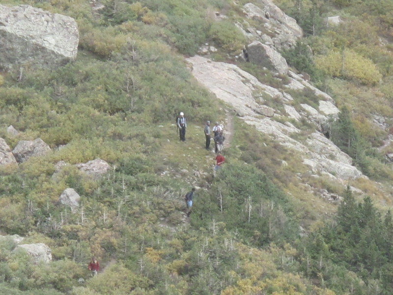
I pause to consider my options - by this time I knew I was heading up bi-centennial Pt 13,580, and not Mt. Adams (the latter was my priority), the weather was deteriorating, and in case I got stuck on the ridge between Pt. 13,580 and Mt. Adams, there would be no good bail-out options. I decided to bite the bullet, lose some elevation, traverse under the cliffs and find the entrance to the Adams' upper basin. In this case, if the weather continues to deteriorate, I would be immediately above the west side of the lake and very close to the campsite. My secondary consideration was to escape the watchful eye of a large, presumably CMC group, descending the Challenger. Said & done.
CMC group (Centennial Celebration hike)
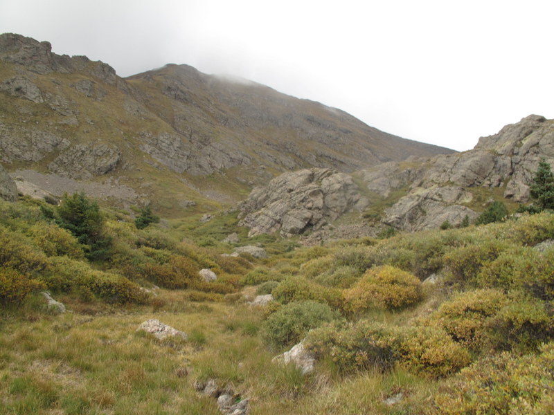
Traversing the grassy slope above the Willow Lake but below the cliffs (Class 1)
First look into the "proper" Adams basin - Pt. 13546 (tri-Centennial) on the left
Since I am in no rush, and the weather is not getting worse, I decide to stick around and explore the basin, and lo & behold the clouds lift up.
View of the saddle between Pt. 13546 and Mt. Adams (@3.30pm)
At this point I know exactly where I am, which peak is Adams, I am feeling ok, but not great, so I decide to go for it.
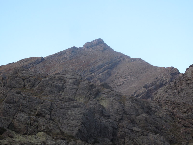
Mt. Adams
Gaining the obvious weakness in the ridge - a saddle between Adams and Pt. 13,546. It is nearly 4pm and @13K.
Kit Carson and Columbia Point
What I don't realize yet is that the West ridge is long and I am tired.
Beginning of the ridge
Technically, there is an option to bypass the difficulties on the right, but I consider it a warm-up for tomorrow, so I stick with the ridge proper almost the entire time.
Looking down the West ridge
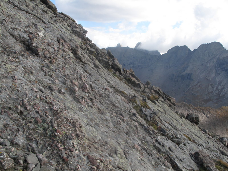
Needle, Peak, CP, KC from the ridge of Adams (with the "Obstruction Point" obstructing the view of Needle & Peak)
Another look at the rocky ridge
The higher you go, the more difficult the terrain gets, with real difficulties (Class 3+ starting around 13,600 feet)
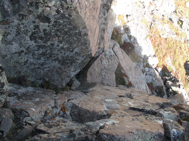
Chimney on the upper route
Final scramble up to the summit
Mt. Adams summit, just around 5pm
With my goal complete, and no energy left for another peak, I am anxious to get down.
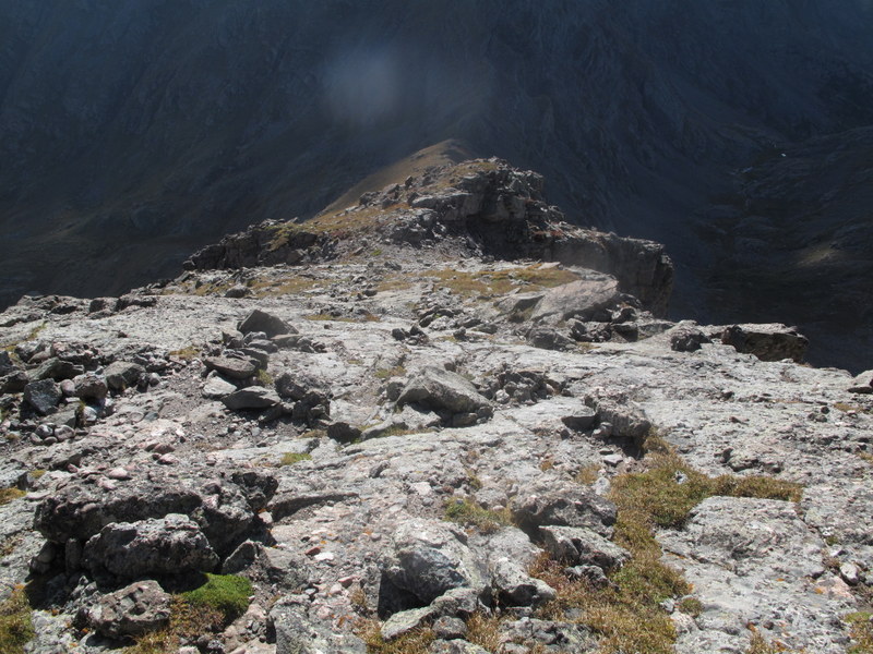
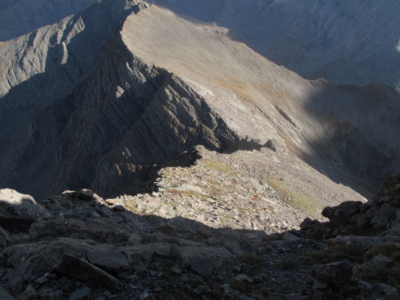
Looking down the long ridge to Pt. 13,580
Since the West ridge took so long, I decide on an alternative (and hopefully shorter) solution and start going down to the saddle with Pt. 13,580. I know that Roach recommends descending down to the saddle, but it seems too far, so as soon as I spot a rocky gully that does not seem to cliff out, I decide that it is good enough - but it turns out to be a big mistake.
Rocky gully
Starting the descent
Descending just to the left of the gully - I do not recommend this route
The gully proved to be incredibly loose (of course). I managed to slip a few times, and in one case a loose rock rolled over my right hand bruising it. Thankfully, I was wearing a climbing glove, or it could have been much worse. I immediately got nervous about the following day, with a lot of class 3/4 climbing in front of me, but the fingers still seemed to have dexterity. Still, I could not have been happier upon reaching the grassy slopes of the basin. To add an insult to the injury, the skies decided to open up and it hailed for about 3 minutes (it stopped before I decided it was time to put on the rain jacket).
Back in the basin
Mt. Adams in the rearview mirrow
It was a surprisingly smooth sailing from there. All you have to do is drop down the grassy slope to the trees on the west side of the lake. There is even a faint trail.
View of the waterfall from above
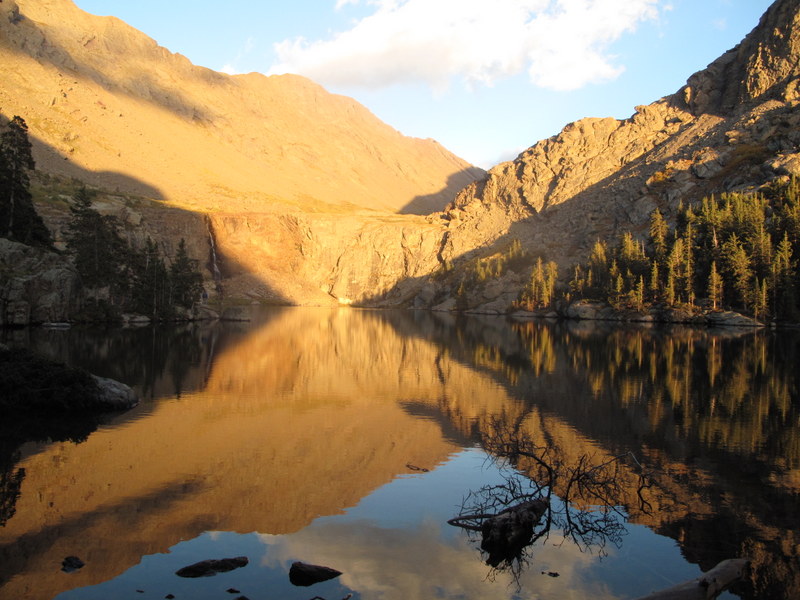
Sunset
For all my troubles, I was treated to a spectacular sunset on the lake
Sunset on Willow Lake
I cruised to the campsite around 7pm to meet with Brian who had found the camp and was getting worried about my delayed arrival. I also ran into Greg (farcedude) on the way to the camp. Brian and I shared a nice campfire and were in our respective tents by 10pm. I must have been pretty tired as I slept like a rock - probably one of the best nights of sleep I've ever had in the tent.
Really enjoyed your ”should I go/shouldn't I go” dialogue. Think we've all been there! Hoping to get to Adams this year yet, via this same route. We'll see...
Saturday was a wierd day for weather, good for you to push through the doubt and make the most of it. Mt. Adams will certainly make my short list. The Xterra in the lot is mine, I spent the day hiking CP & KC. Nice write up on the route, thanks.
After my climb of Adams recently, I was eager to see yours. Well done! Other than the ridges, there are no good routes on that peak - while your gully to the south was loose and crappy, I can say the same goes for the talus field to the north of the west ridge. It's a narrow, fun summit and wonderful scenery - good pics!
I wish I'd seen this before going up 13580 last week...should have read more reports about Adams I guess. It looks like the gully you came down was 1-3 gullies up from the 13580 saddle...none of them looked like much fun at all.
There's no way the 13580-Adams saddle is shorter than the 13546-Adams saddle, however. Of course it's always nice to come down a different way than you go up...
ETA - ha, it's funny it was your vehicle. Nice job on CP/KC - it's a big day as a day trip.
Steve - thanks. Although I really wanted to hit PT 13,580, but by the time I finally got to Adams, I was out of energy. You did much better on your trip summitting several additional peaks.
Caution: The information contained in this report may not be accurate and should not be the only resource used in preparation for your climb. Failure to have the necessary experience, physical conditioning, supplies or equipment can result in injury or death. 14ers.com and the author(s) of this report provide no warranties, either express or implied, that the information provided is accurate or reliable. By using the information provided, you agree to indemnify and hold harmless 14ers.com and the report author(s) with respect to any claims and demands against them, including any attorney fees and expenses. Please read the 14ers.com Safety and Disclaimer pages for more information.
Please respect private property: 14ers.com supports the rights of private landowners to determine how and by whom their land will be used. In Colorado, it is your responsibility to determine if land is private and to obtain the appropriate permission before entering the property.