Download Agreement, Release, and Acknowledgement of Risk:
You (the person requesting this file download) fully understand mountain climbing ("Activity") involves risks and dangers of serious bodily injury, including permanent disability, paralysis, and death ("Risks") and you fully accept and assume all such risks and all responsibility for losses, costs, and damages you incur as a result of your participation in this Activity.
You acknowledge that information in the file you have chosen to download may not be accurate and may contain errors. You agree to assume all risks when using this information and agree to release and discharge 14ers.com, 14ers Inc. and the author(s) of such information (collectively, the "Released Parties").
You hereby discharge the Released Parties from all damages, actions, claims and liabilities of any nature, specifically including, but not limited to, damages, actions, claims and liabilities arising from or related to the negligence of the Released Parties. You further agree to indemnify, hold harmless and defend 14ers.com, 14ers Inc. and each of the other Released Parties from and against any loss, damage, liability and expense, including costs and attorney fees, incurred by 14ers.com, 14ers Inc. or any of the other Released Parties as a result of you using information provided on the 14ers.com or 14ers Inc. websites.
You have read this agreement, fully understand its terms and intend it to be a complete and unconditional release of all liability to the greatest extent allowed by law and agree that if any portion of this agreement is held to be invalid the balance, notwithstanding, shall continue in full force and effect.
By clicking "OK" you agree to these terms. If you DO NOT agree, click "Cancel"...
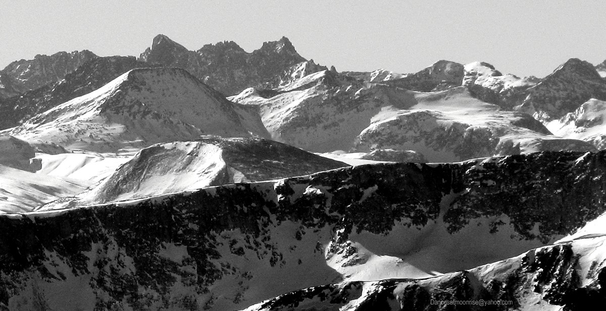
Peaks: Redcloud, Sunshine
Route: Sunshine East Ridge, traverse to Redcloud
Approach: Mill Gulch CG
Date: 1-19-13
Length: 9 miles RT
Vertical: 5400 feet
Ascent Party: Teddy, Jeff, Ben, Taylor, Bill, Matt, Karthik, Paula, Max, Ted, Jim
6:00 am, Cataract Gulch TH.
First light comes too soon. The bag is warm, but it ends there. You know the drill. Dress the top, hide in the bag. Warm back up. Dress the bottom,
hide in the bag. Warm back up. Ultimately, the moment of reckoning: emergence. Is there life? More importantly, is there coffee?
At this moment I realize I'd forgotten the trick of burying a warm thermos in a stuff sack of down the night before. Seems the management has packed
us a stove and some instant. Oh. OK, survival mode it is. The stove lights; soon there is ...ah... instant coffee. Considering we're 12 miles from
Lake City, Colorado, at 6am, in subzero weather, we'll call it luxury.
Most of the gang stayed at the hostel in Lake City last night. Jeff and Ben tent-camped at the Mill Gulch TH; I Gladbached it in the back of the truck
at the end of the road. Thanks to Ted E. for the tip on current road conditions.
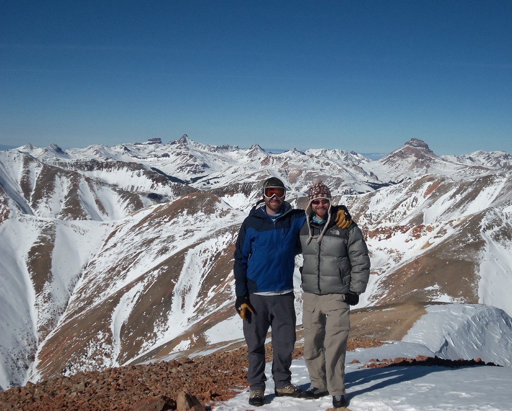
Thanks to Teddy (Ameristrat) for setting this one up! Great weather, and a great group!
Before long I'm up and about, anticipating headlights, which arrive promptly at 06:30 am. Bless you, Ted and Karthik! "Yes, I'll be there shortly.
Thanks, man. Go ahead and get started." I deign to admit to old bones creaking in zero degree temps. Much better to just smile and keep up
appearances.
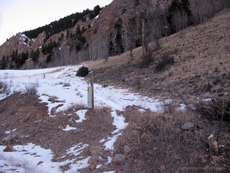
The Mill Gulch "Trailhead."
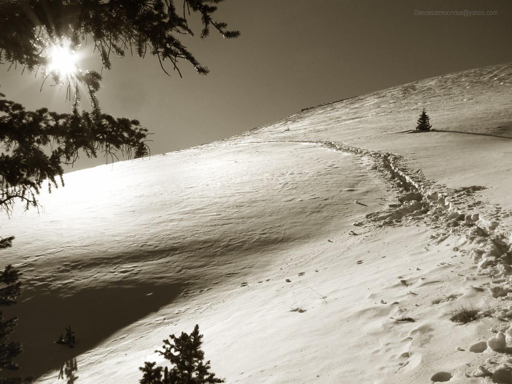
Dawn on the Mill Gulch "trail."
By now it's fully light at the Mill Gulch parking area. Five cars. Two tents. Ultimate silence. Better get these cold bones moving, got some catch-up to do.
Wait, can't we just admit defeat and go back to bed?
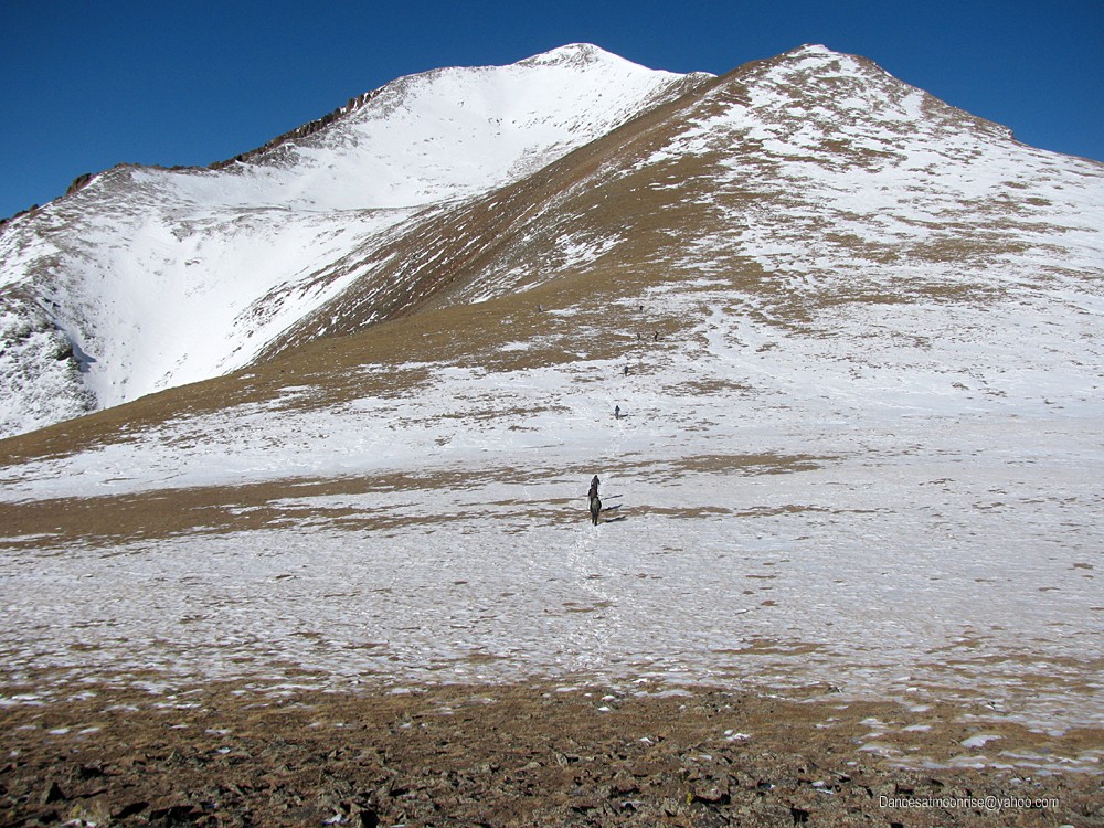
Ah, the old phone terminal thing. Recognize it from the photo in Anna's TR. Saw the footprints in the snow on the way in last night. This must be
the place. Let's get started. At least the vertical gets out of the way in a big hurry.
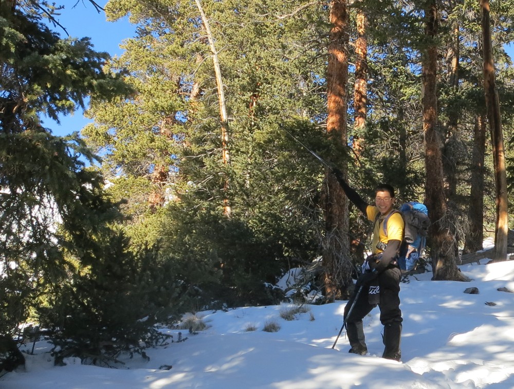
Max. (Photo by Ted.)
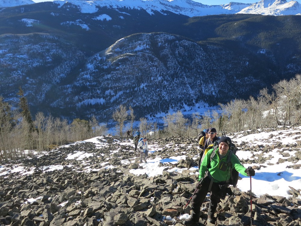
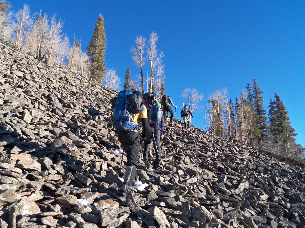
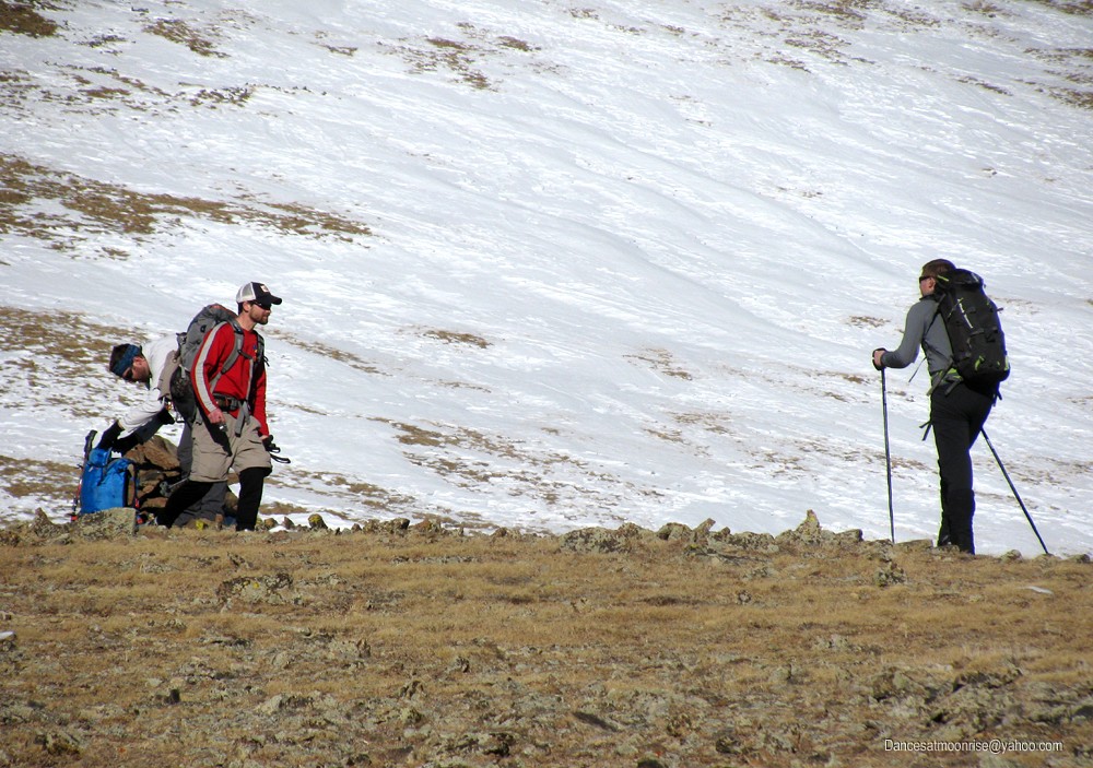
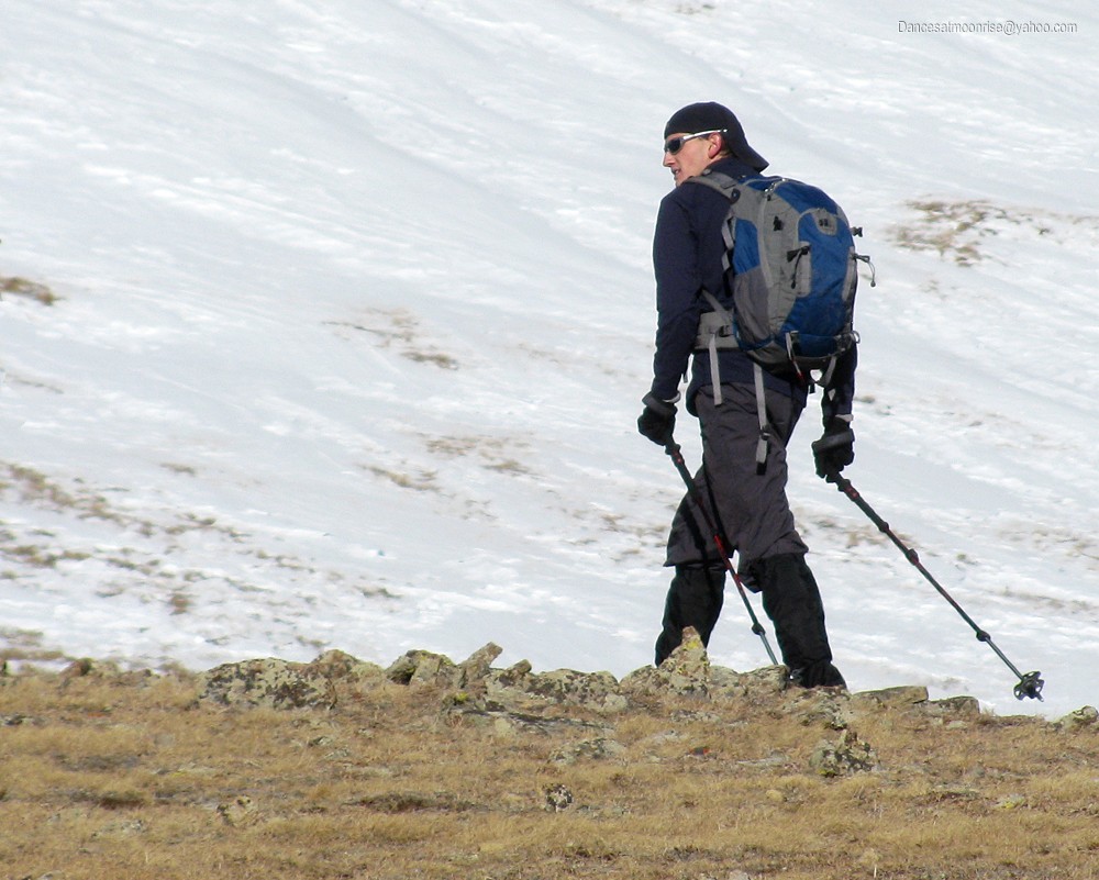
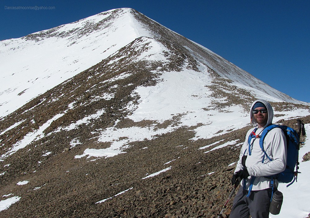
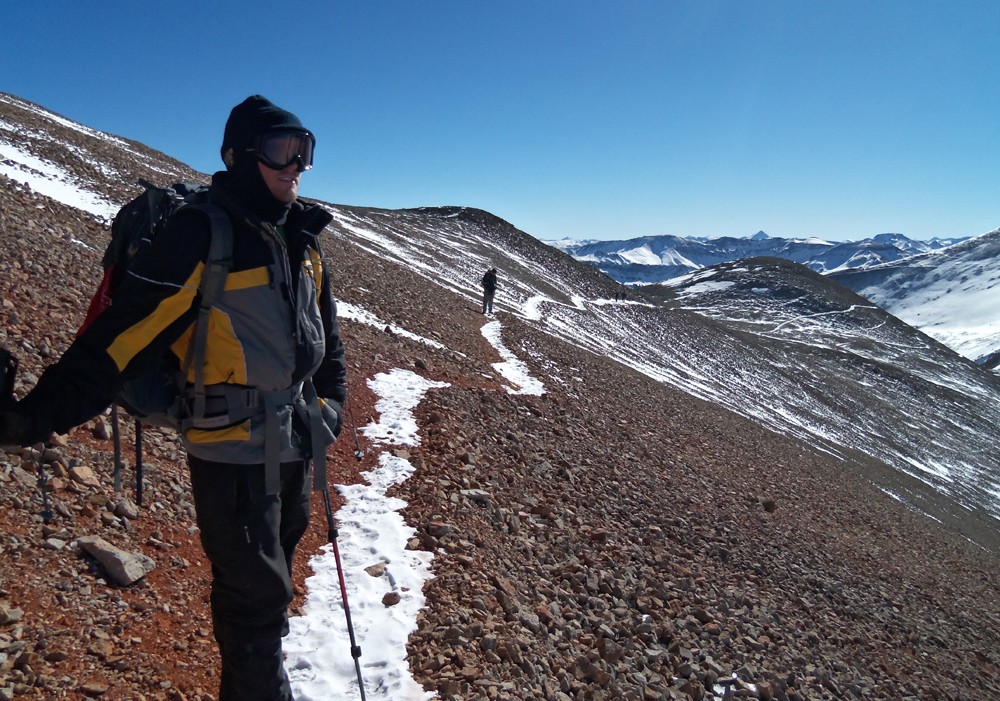
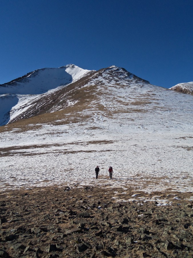
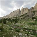
Before long we're at the boulderfield. We've got a great group; the mood is festive. We mostly hang together into the alpine, where our larger group
naturally breaks into a couple of smaller subgroups.
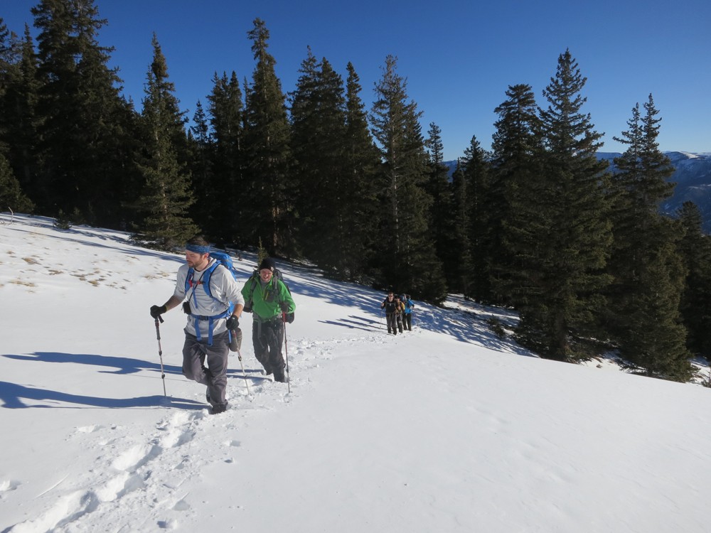
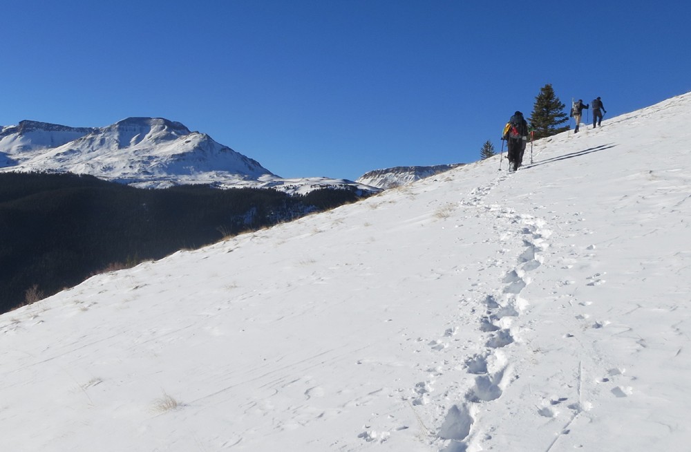
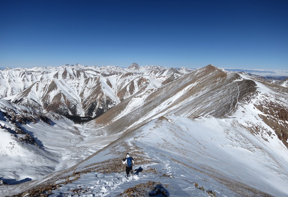
The steep trees relent and pay deference to the surprisingly dry alpine slopes. Our work is cut out for us, a mere three bumps further up the alpine.
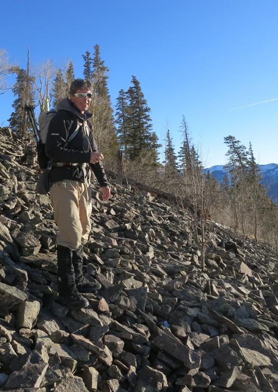
The boulderfield. Care must be taken to follow the cairns. (Photo by Ted.)
We bumped into some geek out taking pictures. (Thanks, Ted.)
Heads down. (Photo by Jeff.)
(Photo by Ted.)
The conditions are so good, Jeff's not sure we get a snowflake for today's routes. Contrast this with Steve's ascent a few years ago.
Happy fifth anniversary of Redcloud and Sunshine, Steve. Guess we lucked out, huh?
(Photo by Ted.)
(Photo by Ted.)
Sorry, guys.
Ben and Ted.
Taylor.
Bill.
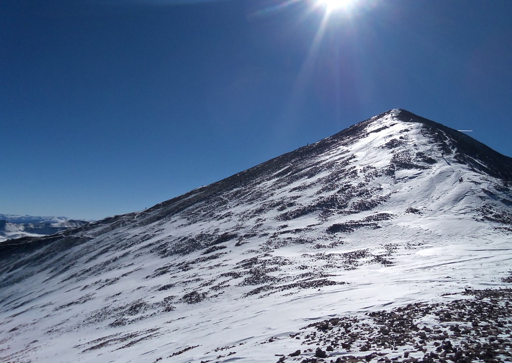
First stop, straight up.
Jeff.
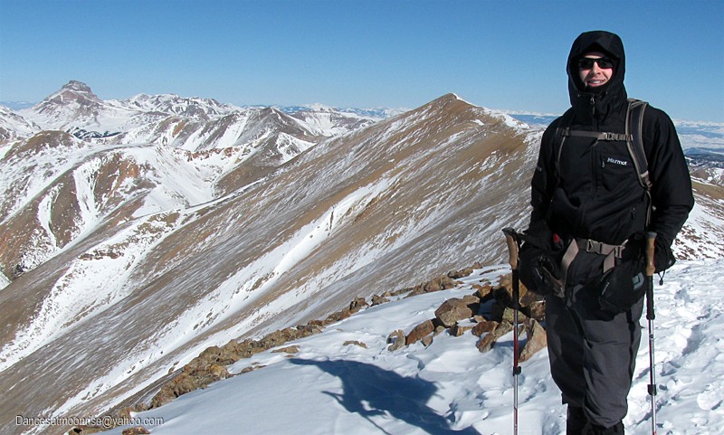
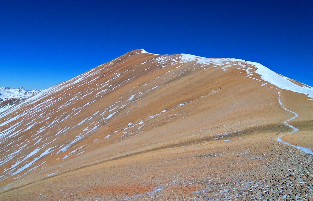
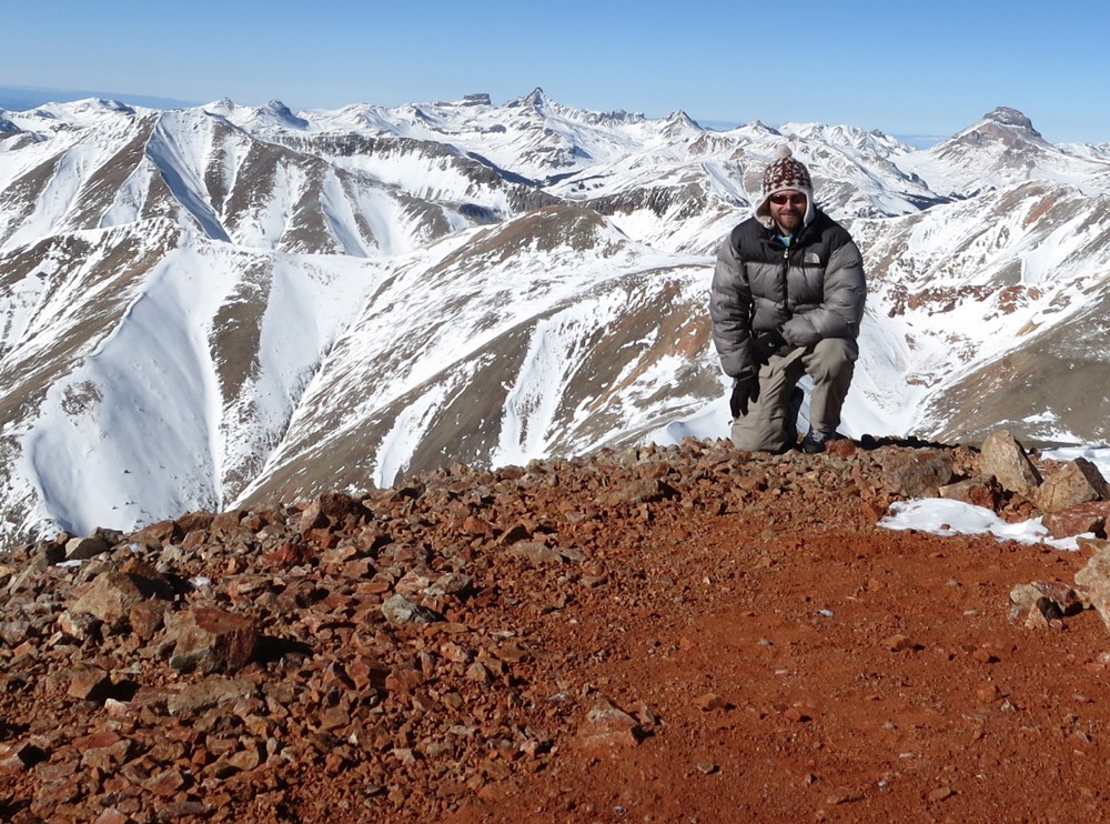
The Sunshine summit.
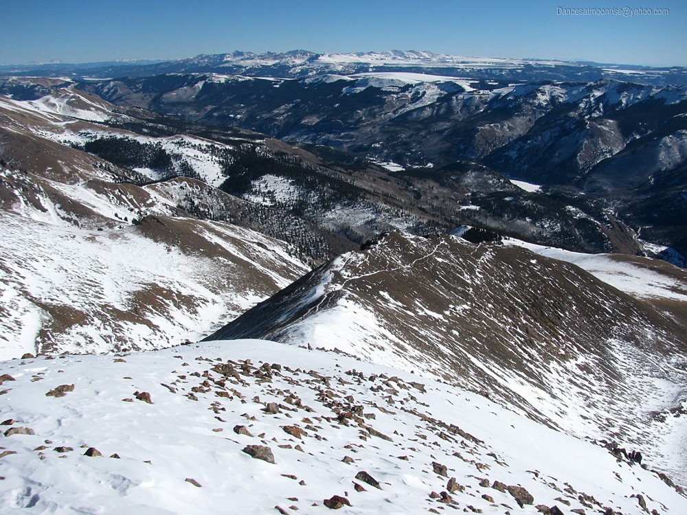
The road ahead.
What we just came up.
Matt.
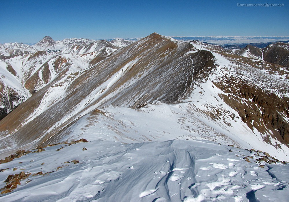
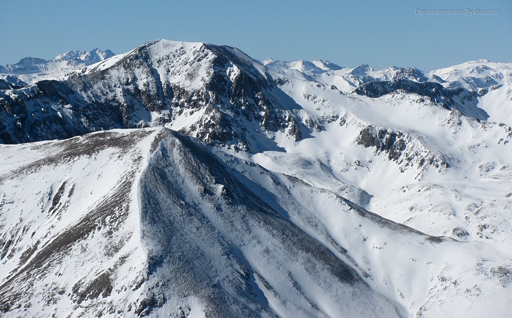
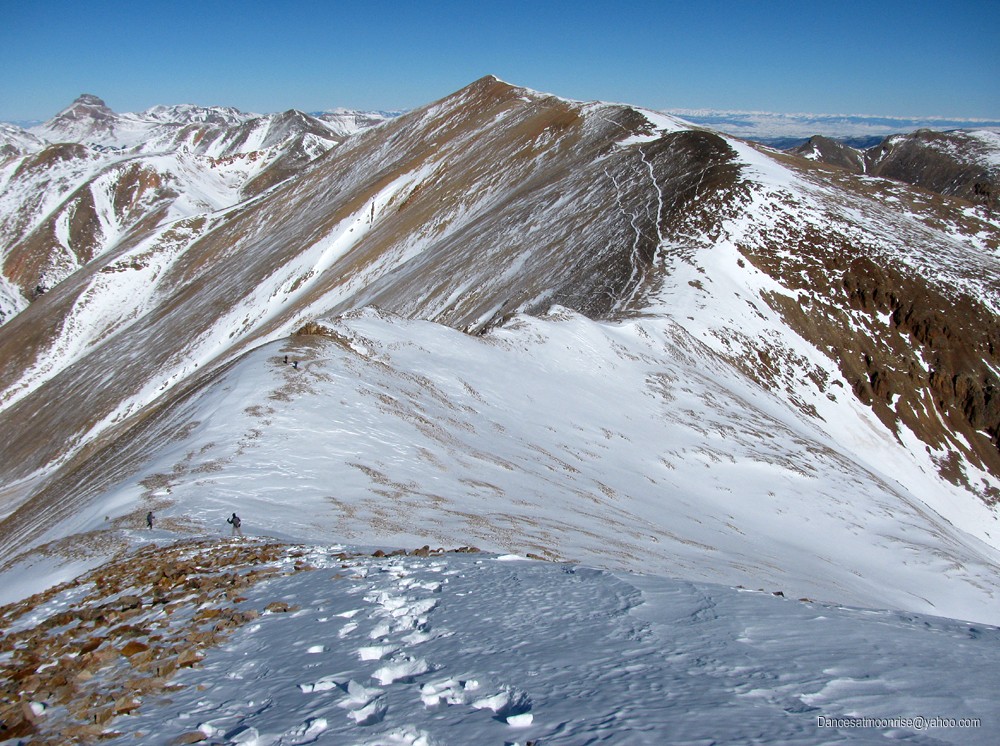
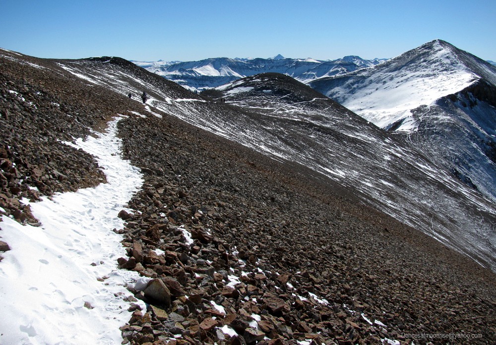
A brief rest break on Sunshine, and we're off through the alpine connecting ridge to Redcloud. I don't recall the ridge being this much fun a few
summers ago.
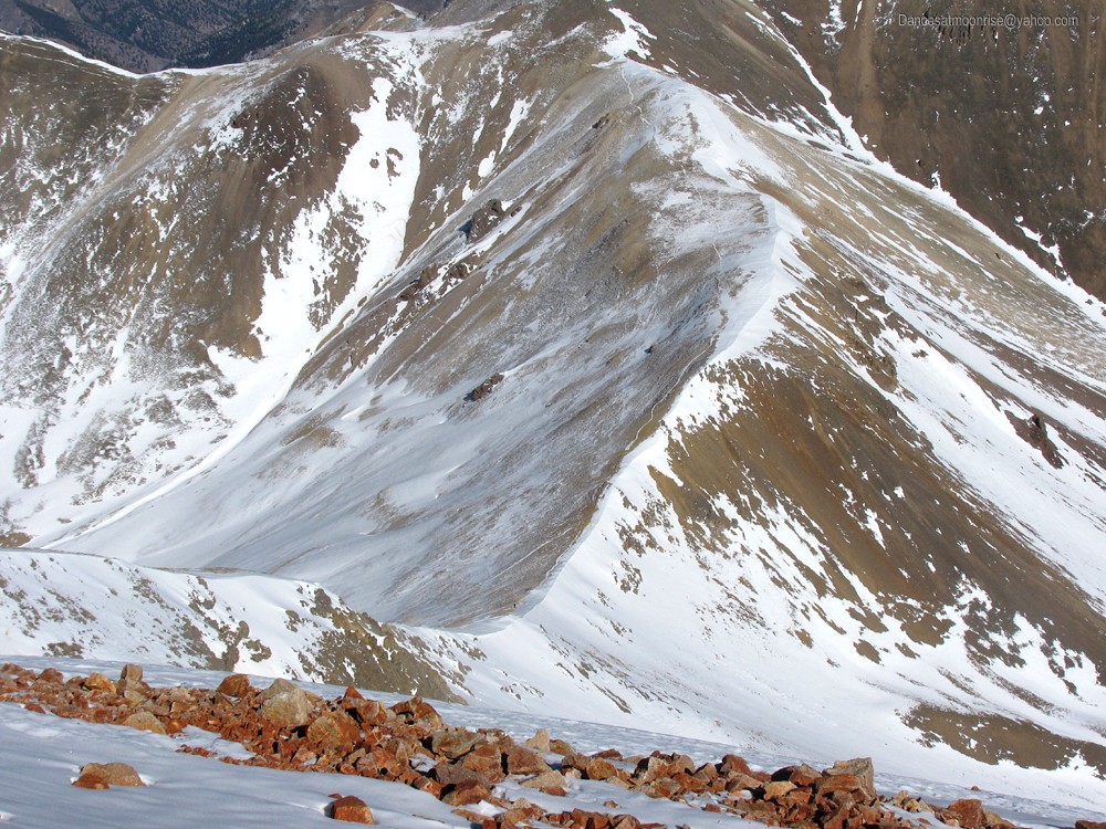
The start of that Nolan winter route over Whitecross to Handies.
Whitecross.
Handies.
Beta: The entire Whitecross winter route to Handies. Anyone want to give it a try?
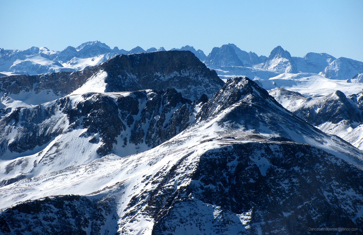
Beta for Britt: Half Peak. I keep gazing at those Grenadiers.
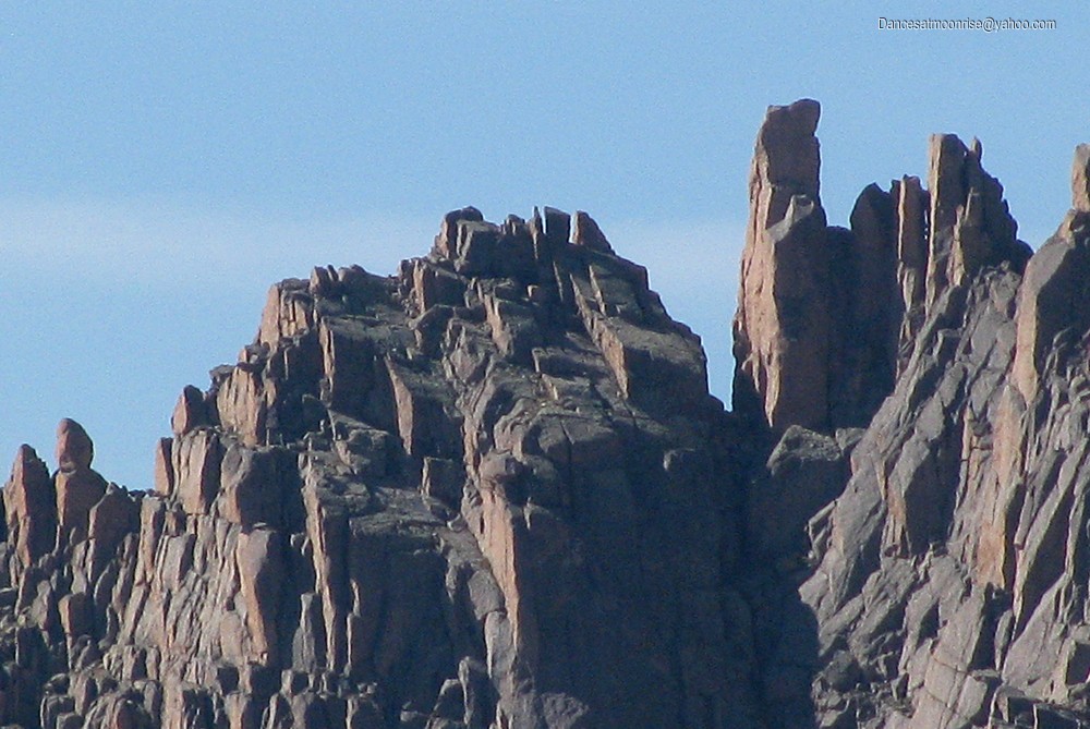
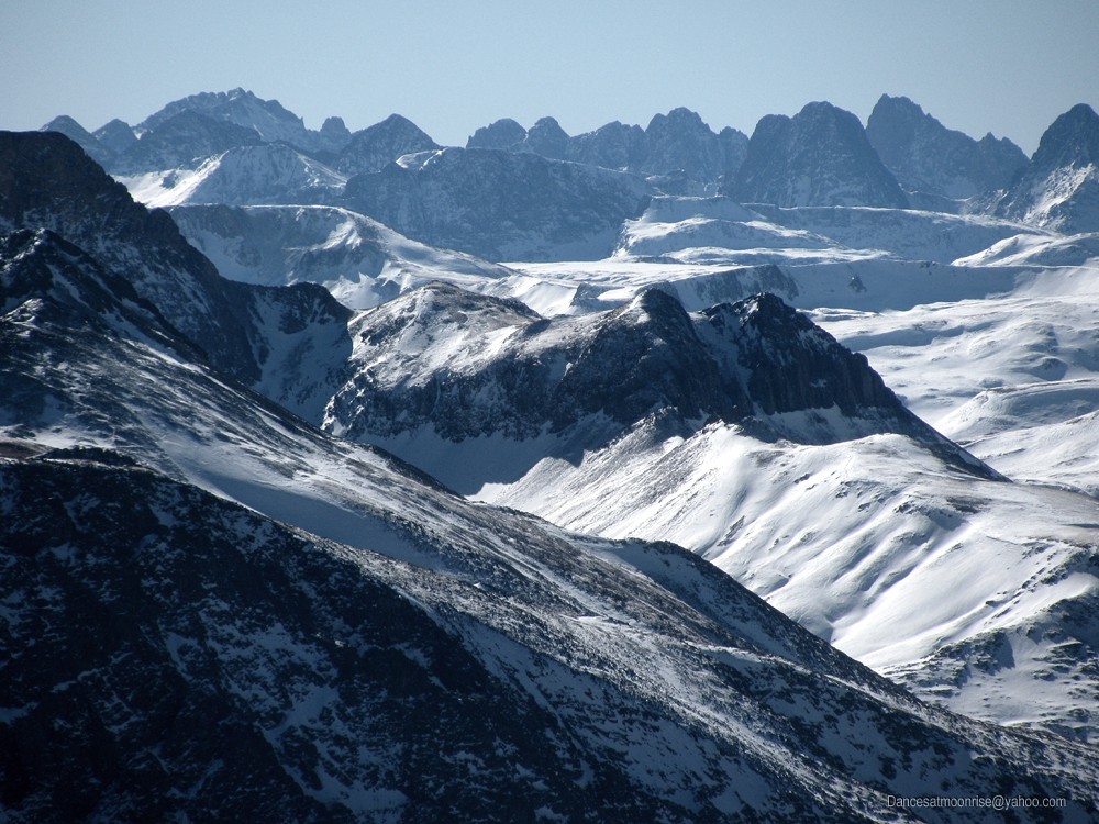
Please allow me to digress a moment.. Sunlight Spire, the main needle-like projection in the left massif, as seen from the base of Noname Needle, 8-21-12.
Today, from our summit perch on Sunshine: At skyline, Windom to the left, Sunlight to the right. Sunlight Spire can clearly be seen as the sharp needle-like peak in the massif between the two.
(Closer view of the Spire, 8-21-12.)
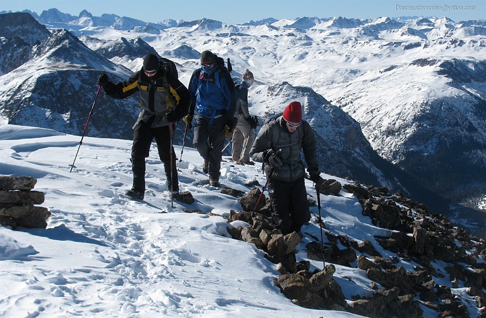
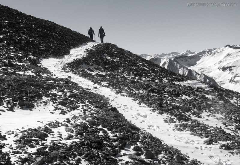
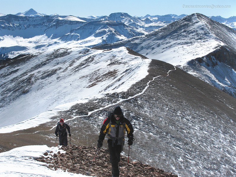
Starting the connecting ridge to Redcloud.
Looking back on our first summit today, Sunshine. (Photo by Jeff.)
Teddy on the connecting ridge. (Photo by Jeff.)
A look back at Sunshine.
"For amber waves of scree."
Uh-oh. Jim's summit-fever disease begins to relapse. (Photo by Jeff.)
Teddy and Tyler.
There's what we shoulda done.
Can we camp at Nellie Creek tonight?
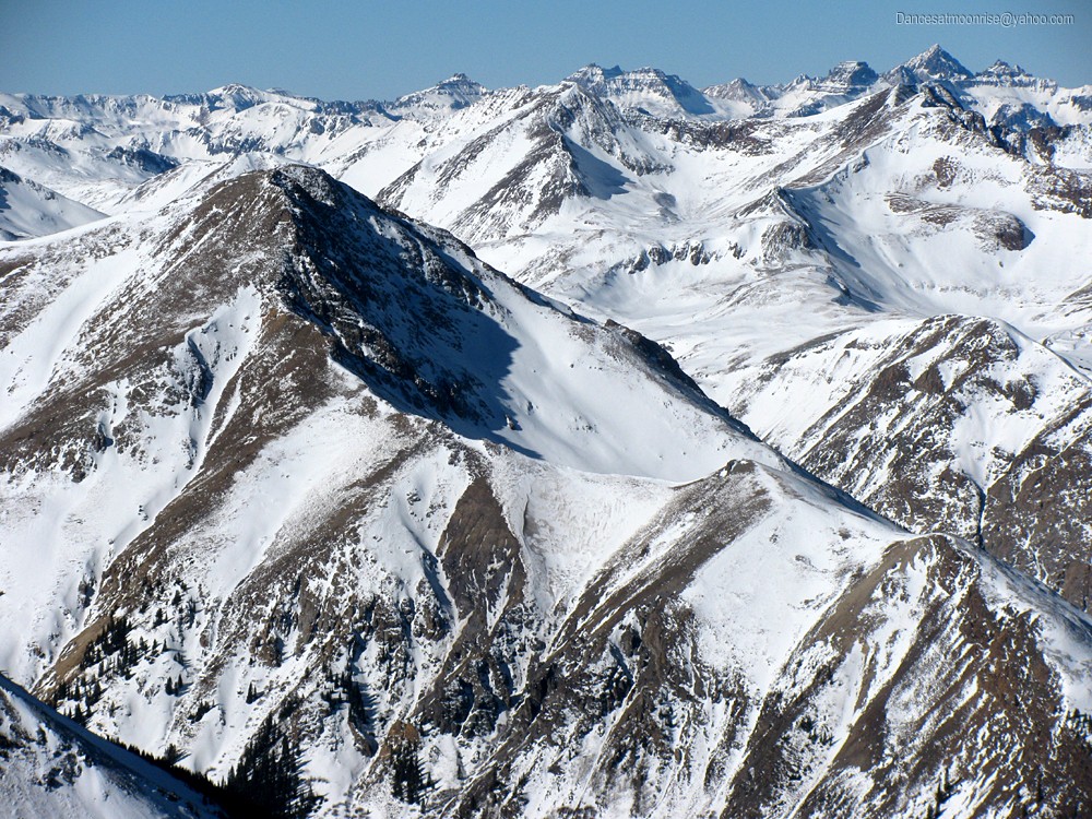
Handies and the Whitecross route. A lot of the SJ is looking prime for winter ascents.
Weimenuche looks good.
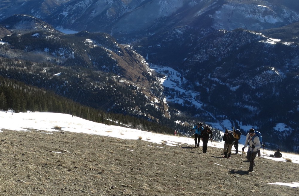
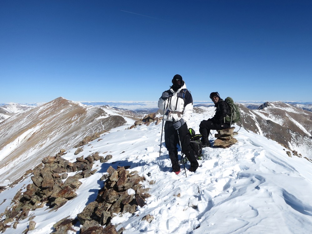
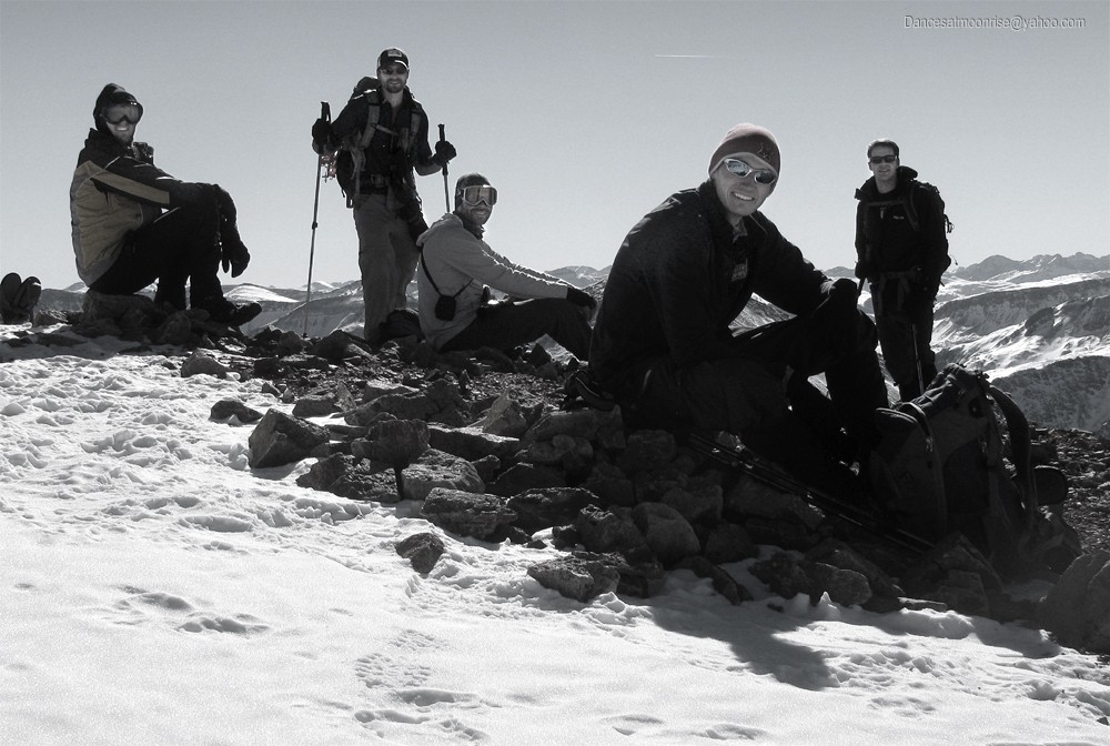
Before long, the first shift assembles on the summit, lounging, taking photos, feeding, and generally enjoying the mountaineering equivalent
of happy hour.
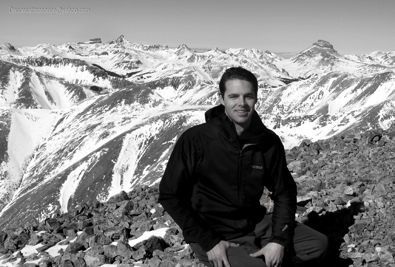
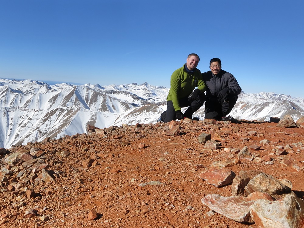
Matt on Redcloud's summit.
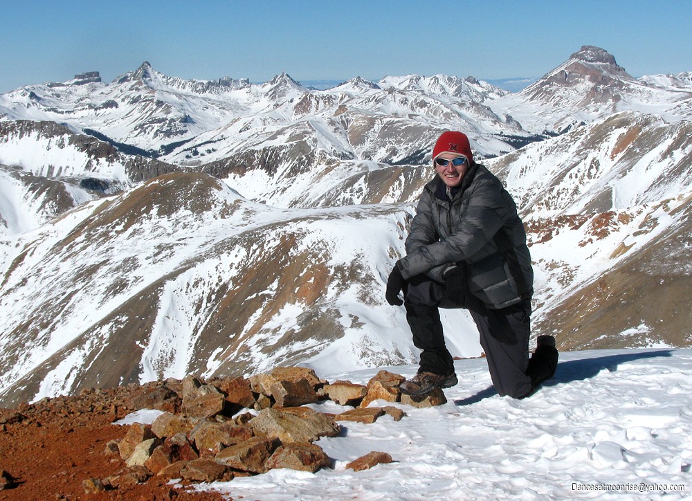
Jim and Jeff.
Taylor.
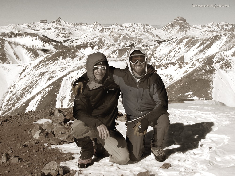
Ben, Jim, and Teddy. (Photo by Jeff.)
Jeff and Ben. (Photo by Jeff's camera.)
Looking back south to Sunshine.
The weather and conditions are so good that we're almost surprised not to see another crew up here. Oh, wait. Who's that in the saddle below? Coming
up the standard route? That's crazy. Yes, he must be nuts. Odds are we know the guy.
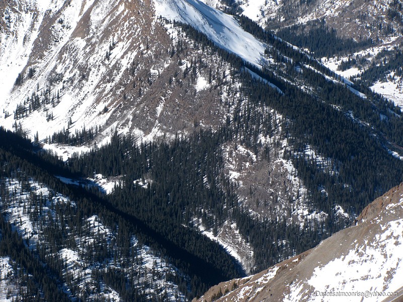
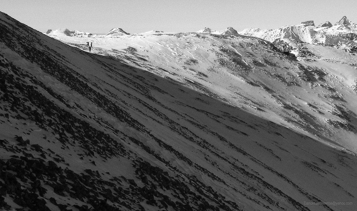
The Redcloud Saddle on the Standard Route. You can see a mountaineer near the base of the saddle.
Close-up of the saddle and our peer making way toward Redcloud's summit.
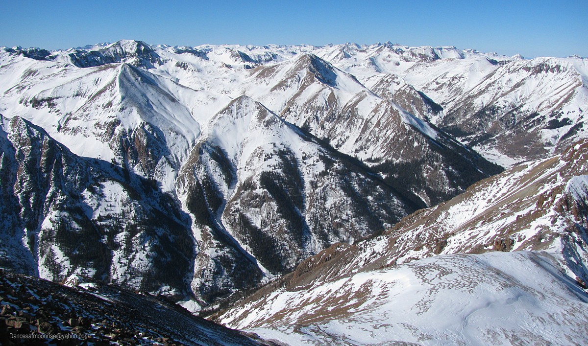
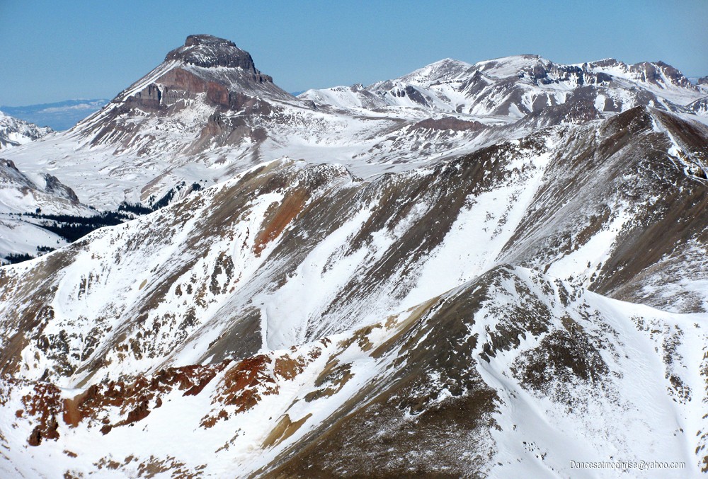
Meanwhile, a very dry Uncompahgre and Wetterhorn taunt, just out of reach to the north. Ken's Whitecross route on Handies is looking quite good,
except for a few point releases down low, avoidable on the ridge proper. Would have been a great week to take off.
Max and Karthik. (Photo by Ted.)
Heading down. (Photo by Ted.)
Ben. (Photo by Ted.)
Ted and Max. (Photo by Ted.)
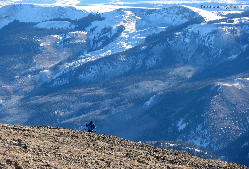
Interesting how a four mile hike in is approximately twice as long on the way out. We cut the slopes below Sunshine, where the antennae momentarily
receive sketch vibes. I call back to be careful. The main shallow cross-loaded gulley is avoided by climbing a bit, continuing the traverse higher up
on more bare ground.
Crossing under Sunshine.
Headed home. (Photo by Jeff.)
Don't miss the turn into the trees. Yes, there is a modest trail.
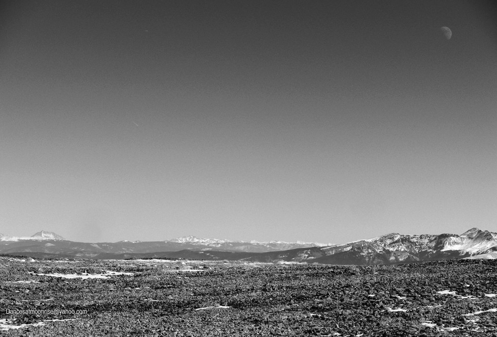
It's a bluebird day, complete with contrails.
Entering the trees, our sun sinks low in the western sky.
Back at the TH, a few of the guys are napping in the cars. I take the opportunity to scope out both the Grizzly turnoff, and the Cottonwood drainage,
for a future Handies trip. Someone has busted out the snowbank at the back of the Cataract TH. The road appears plowed, or at least well-packed.
I walk a ways back on the road, briefly musing how I might clone myself to be at work tomorrow.
Back at the TH, the guys are packing up. Good vibes, great conversation, palpable camaraderie. We bid each other farewell. It's been a fine trip.
But the story isn't over.
I'm driving out, and stop for a fellow on the road. Are you ok? Do you need a ride? Kirk? Wow! He did a loop for 13811, 13832, Redcloud, and
Sunshine, solo. We drive to his car and chat as the rest of the crew scurries back to pick up stuff at the hostel. It suddenly occurs that's it's been a
most unusual day: two winter 14ers, and it's still light out.
I head home somewhat sadly, wishing to spend a little more time in the San Juan in these great conditions. But ultimately, it's been a great day.
Winter 14ers number 37 and 38 are safely in the bag, and with a great group, to boot. Even got to bump into Kirk today!
Great report but weird weather... 1/28/2013 3:20am
Great photos and commentary Jim, as usual. Enjoyed it. But early on, that dude in the red shirt was in...shorts? On a 14er. In January. So very dry up there. People today were driving to the summer trailhead on Grays/Torreys. Odd times we live in. Anyway, great report!
-Tom
For everyone asking where the snow is, sounds like the SJs are finally getting a decent base. Glad we snuck these in first! A fun group on two beautiful peaks; those San Juan views are impossible to beat. Thanks for writing the TR, Jim!
Same peak different day different story! 1/28/2013 3:57pm
We hiked these this past Saturday. Still didn't need snowshoes but it was snowing & windy the entire day. We were in a whiteout for part of the way above treeline with zero views for most of the day. Thanks for the posting the pictures as now I can see what it would've looked like had we been able to see around!!
Thank you all for this beautiful trip! Special thanks to Ted, for sharing backpacking, mountaineering knowledge and experience with me. Look forward to hiking with all of you again! Max
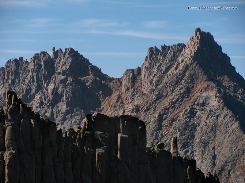
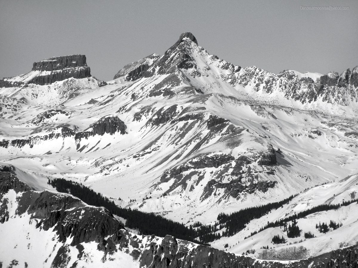
I like that shot of Half Peak with parts of the Wemi behind. The other closeup of Arrow & Vestal & Pigeon is pretty sweet as well.
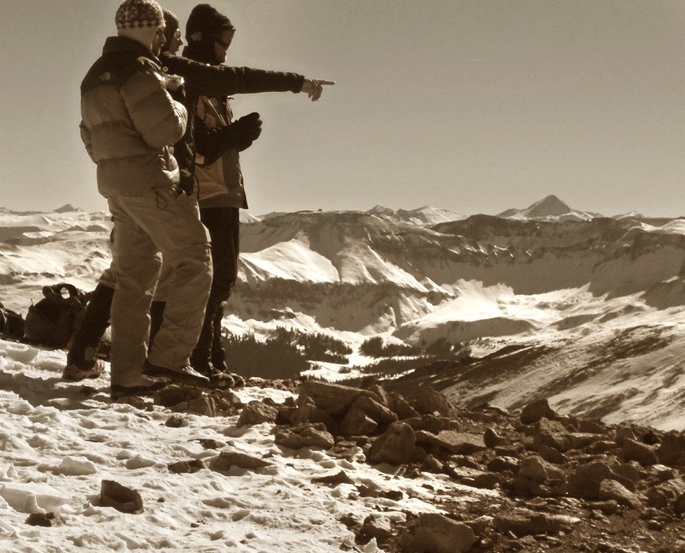
Your opening photo is an interesting one too.
What do you use to frame it like that?
I look forward to the day I can hike this set of peaks again.
Thanks for the great photos and view out to Handies. This just made Friday and Sundays plans a lot easier seeing as how I want to head out and ride these after this last storm that came through. I'll have beta on the ascent/descent and road conditions up after completion.
Great report and pictures as usual. Thanks again for the ride - it was great running into you! And it was great meeting Ted & Max on Redcloud. Sounds like someone else did an alternate route on Redcloud where they came up the northeast ridge. I was at the saddle about 1:30 - do you remember what time you were on Redcloud & took those photos?
Taylor, thanks. It was great meeting you and hiking together.
Teddy, definitely. Lots of snow in the SJ now, but perhaps after things settle down. Maybe we can do Handies, or Wetterhorn and Uncompahgre. Stay in touch.
Jay, thanks for your warm comments.
Jeff, it was my pleasure; thanks for letting me take the baton on the report.
Karthik, please do.
Max, I'll send out an email to everyone when SJ conditions look safe again.
Darin, pm sent.
Ted, thanks for a million photos!! And all the great beta. We'll hike again.
Kirk, it was 13:35. Great to see you again. Perhaps when things settle down you would join us on some of the SJ moderates? Congrats on 811 and 832 in winter.
Matt, I'll send out an email to the group, definitely. Might be a couple weeks before things stabilize again.
My good fortune to be included on this trip, gentlemen. Thank you all. And hope to get out again this winter.
Caution: The information contained in this report may not be accurate and should not be the only resource used in preparation for your climb. Failure to have the necessary experience, physical conditioning, supplies or equipment can result in injury or death. 14ers.com and the author(s) of this report provide no warranties, either express or implied, that the information provided is accurate or reliable. By using the information provided, you agree to indemnify and hold harmless 14ers.com and the report author(s) with respect to any claims and demands against them, including any attorney fees and expenses. Please read the 14ers.com Safety and Disclaimer pages for more information.
Please respect private property: 14ers.com supports the rights of private landowners to determine how and by whom their land will be used. In Colorado, it is your responsibility to determine if land is private and to obtain the appropriate permission before entering the property.