Download Agreement, Release, and Acknowledgement of Risk:
You (the person requesting this file download) fully understand mountain climbing ("Activity") involves risks and dangers of serious bodily injury, including permanent disability, paralysis, and death ("Risks") and you fully accept and assume all such risks and all responsibility for losses, costs, and damages you incur as a result of your participation in this Activity.
You acknowledge that information in the file you have chosen to download may not be accurate and may contain errors. You agree to assume all risks when using this information and agree to release and discharge 14ers.com, 14ers Inc. and the author(s) of such information (collectively, the "Released Parties").
You hereby discharge the Released Parties from all damages, actions, claims and liabilities of any nature, specifically including, but not limited to, damages, actions, claims and liabilities arising from or related to the negligence of the Released Parties. You further agree to indemnify, hold harmless and defend 14ers.com, 14ers Inc. and each of the other Released Parties from and against any loss, damage, liability and expense, including costs and attorney fees, incurred by 14ers.com, 14ers Inc. or any of the other Released Parties as a result of you using information provided on the 14ers.com or 14ers Inc. websites.
You have read this agreement, fully understand its terms and intend it to be a complete and unconditional release of all liability to the greatest extent allowed by law and agree that if any portion of this agreement is held to be invalid the balance, notwithstanding, shall continue in full force and effect.
By clicking "OK" you agree to these terms. If you DO NOT agree, click "Cancel"...
Sneffles Birthday Chutes and Camping in Colorful Colorado
Any trip to the San Juans is always going to be memorable, with the peaks being far away from home I just don't make it down there. This would be my 4th trip down to the area and my first time attempting Sneffles. I remember the first time I saw Mount Sneffles driving down to Silverton for a climbing trip up the Wham Ridge, that was in the summer of 1999. It'd been a while to say the least.
Every Memorial Day we try to get out and do something, haven't been skiing much this year at all and this would be the first spring ski of the season. Some years we try to really get after it, this year I was feeling like skiing a peak, doing some camping, and r&r would be a nice way to approach the holiday weekend, a little variety never hurt anyone. So Mike, Adan and I made plans to camp in Ridgway, ski Sneffles on Saturday, do a short tour up into Blaine Basin on Sunday, then chill on Monday and head back to life. In the process I tried to capture pictures of the different colors in Colorado that help to make our state such a beautiful place to live.
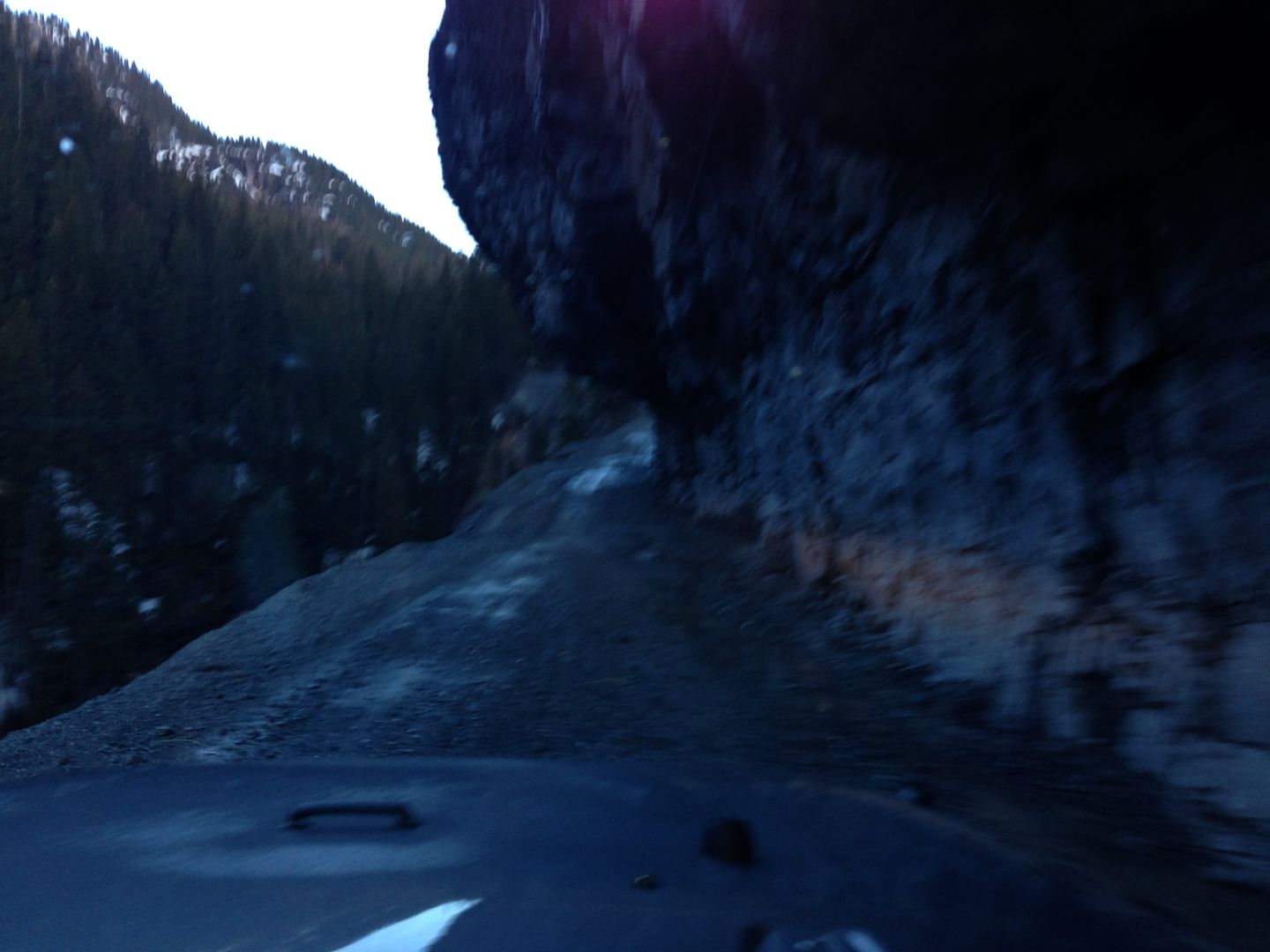
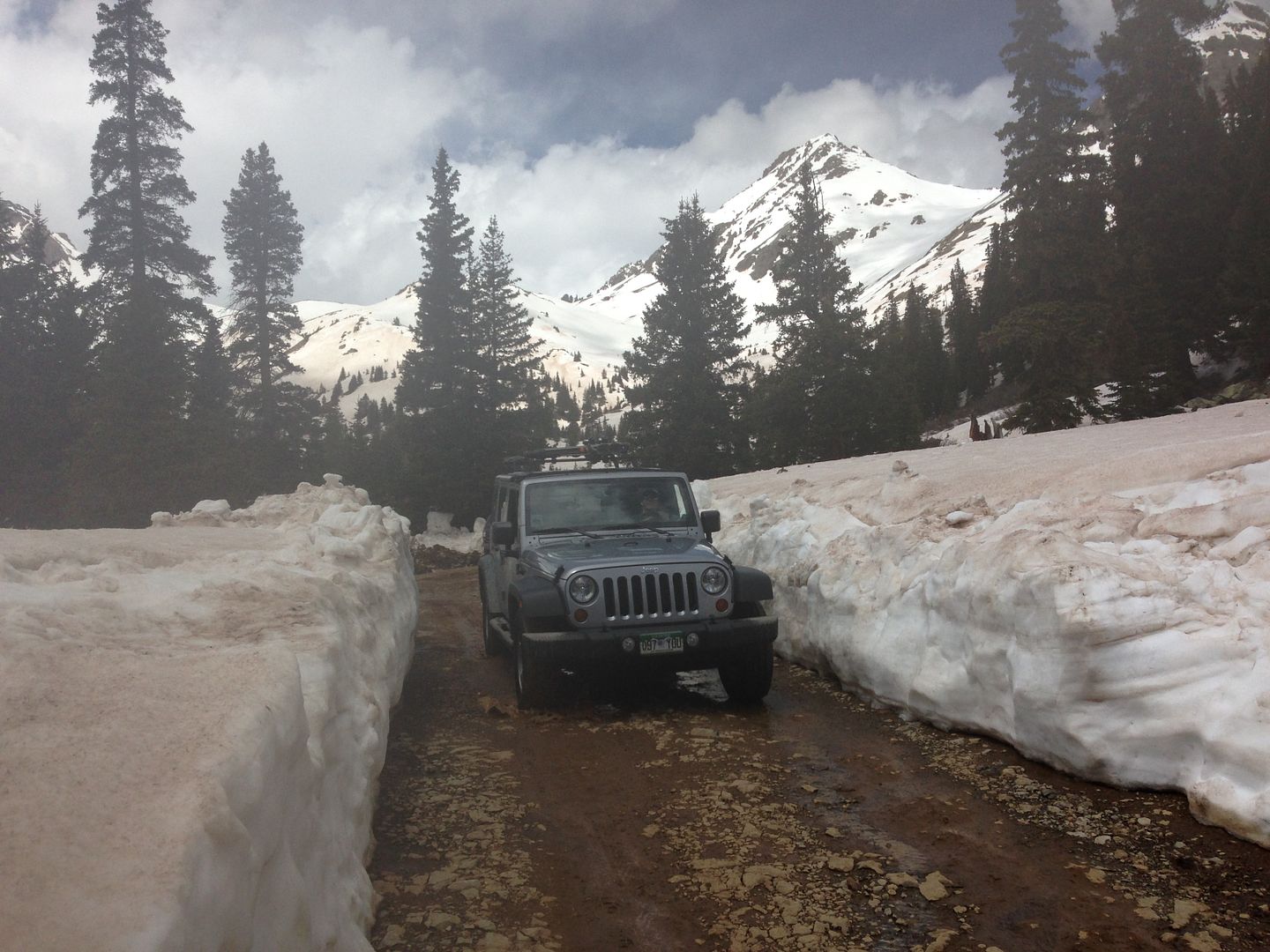
We arrived at Ridgway State Campground around 7pm in a light rain and setup the tent in the rain, woke up around 5am and headed up into Yankee Boy Basin. Early morning drive up the YBB road.
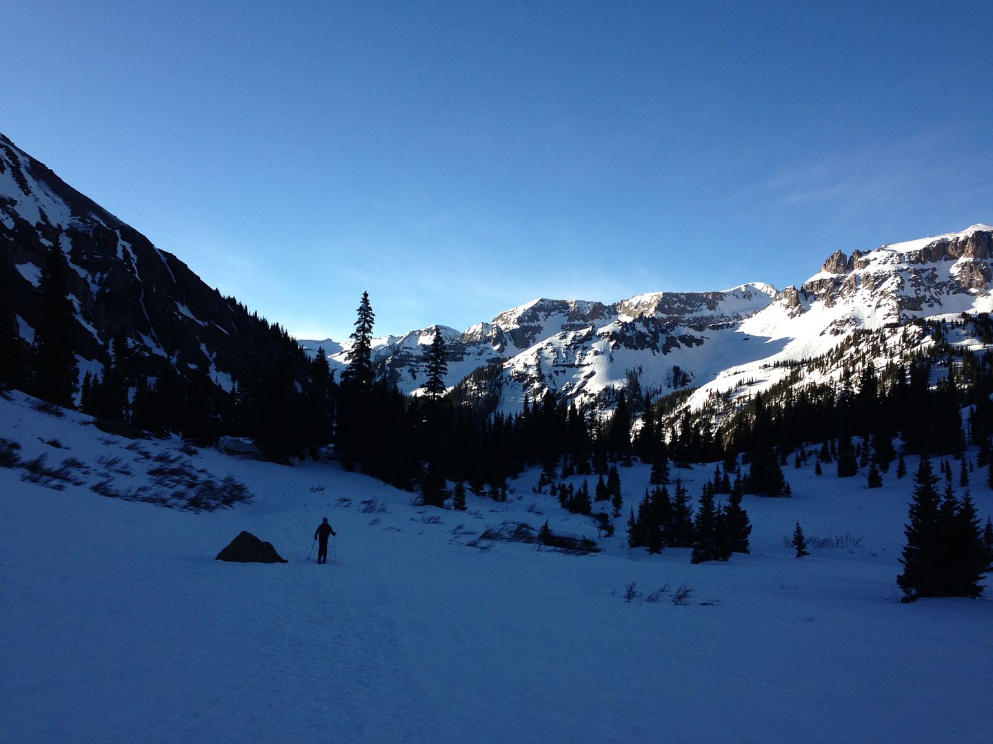
Mike heading up slightly later early morning light in YBB.
Golden rays of sunshine
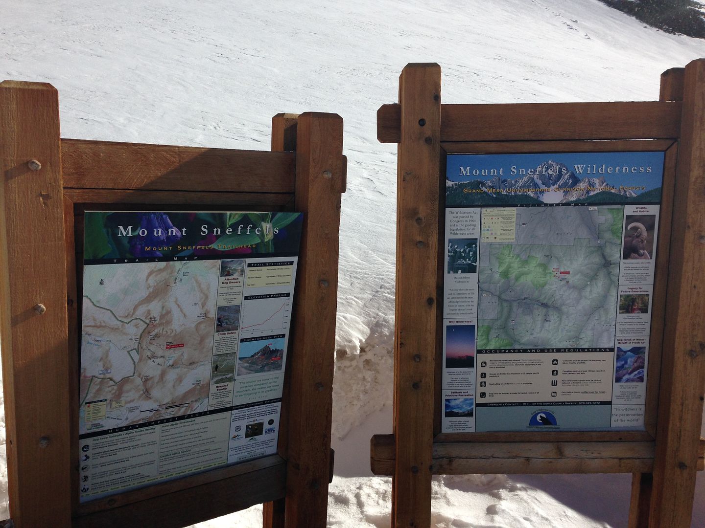
Colorful trailhead markers.
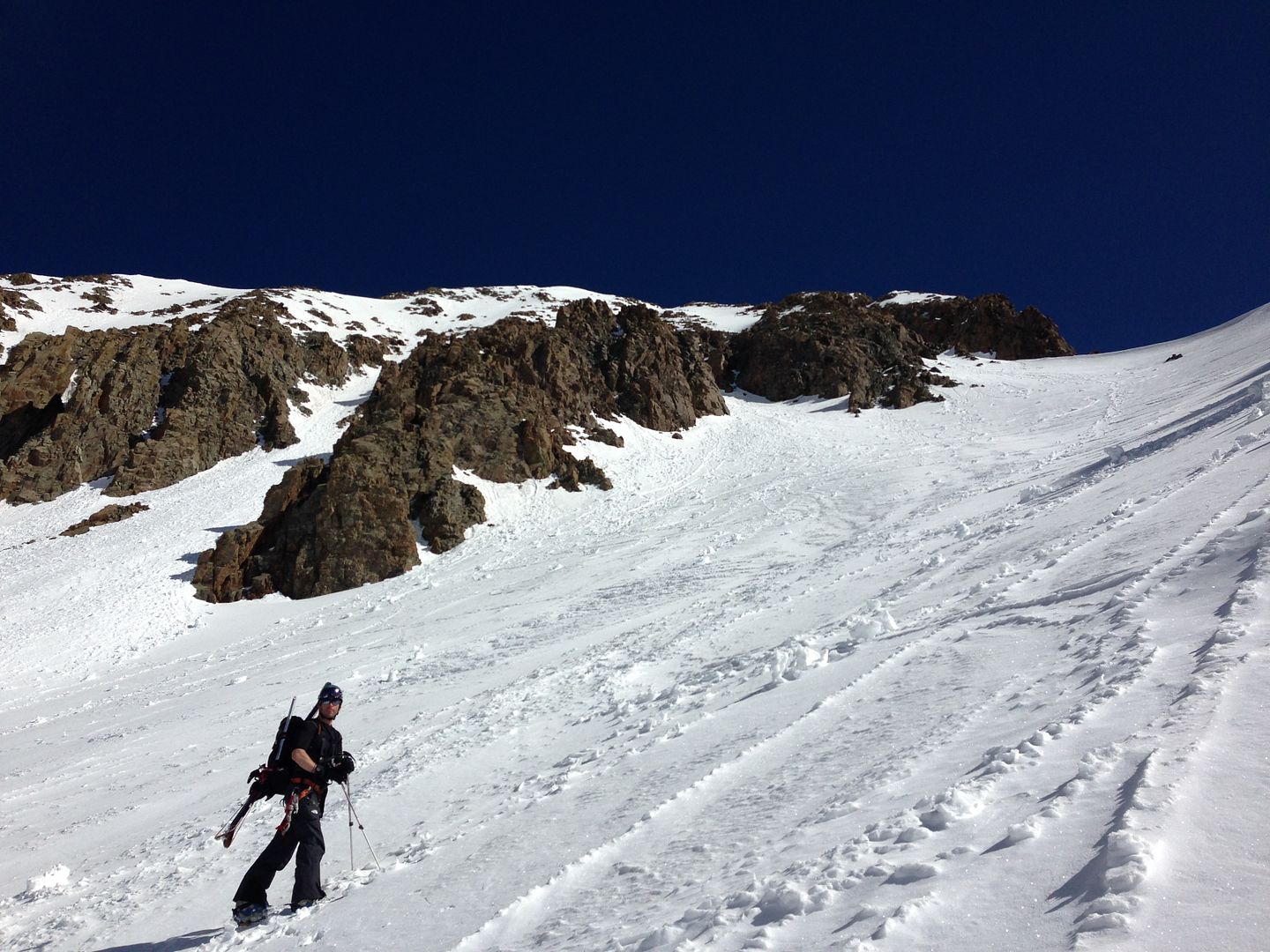
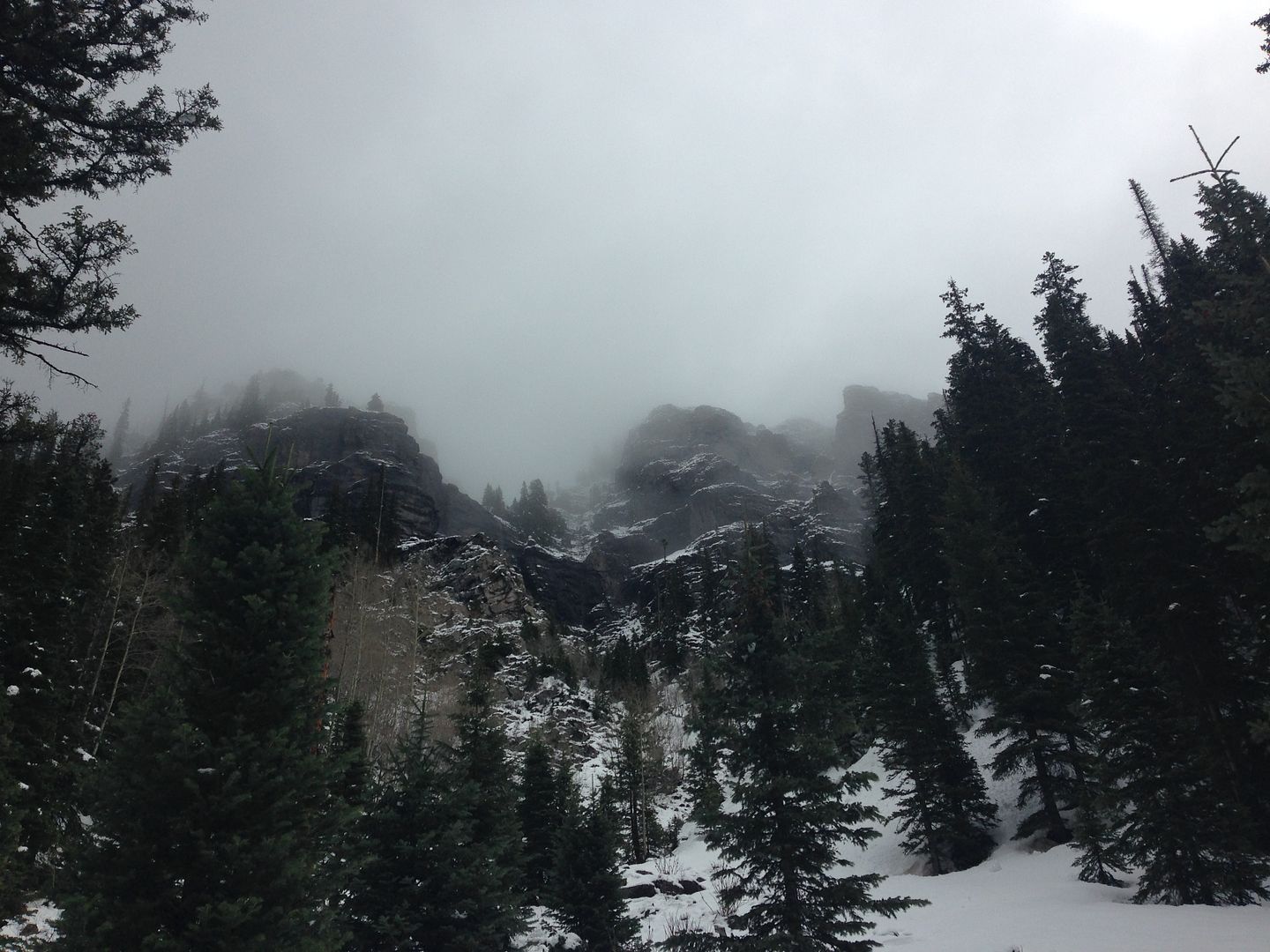
Deep blue skies, clean white snow, and dark rock.
At this point the pictures are slightly blurred due to some gum that I got on my my phone and couldn't clean just right, moving on...
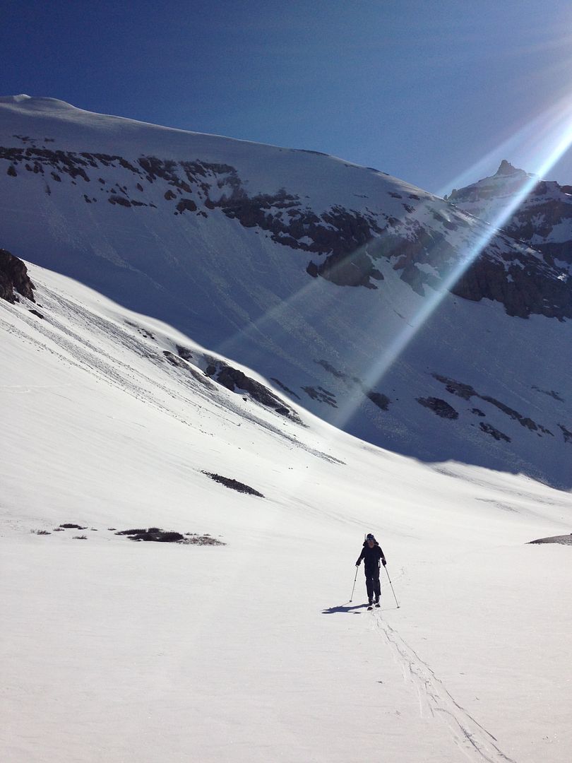
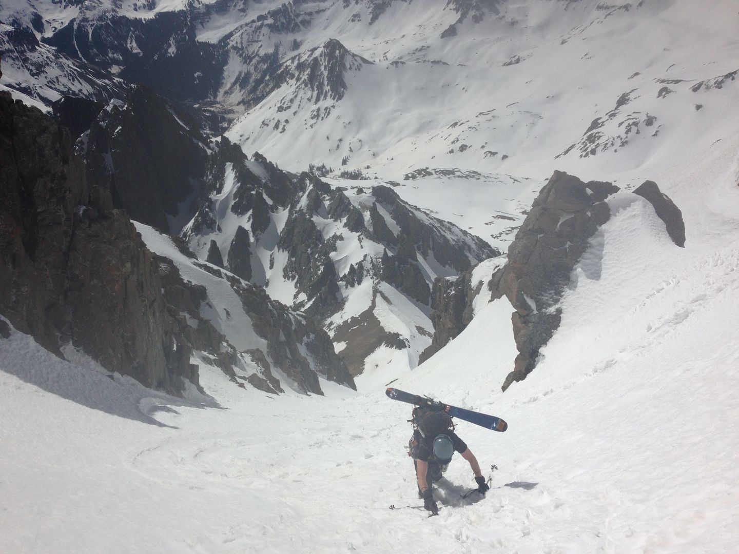
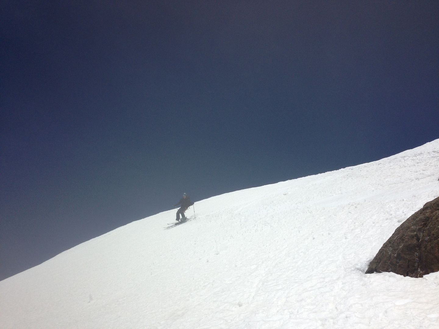
Mike's tan arms climbing white snow in the lavender couloir
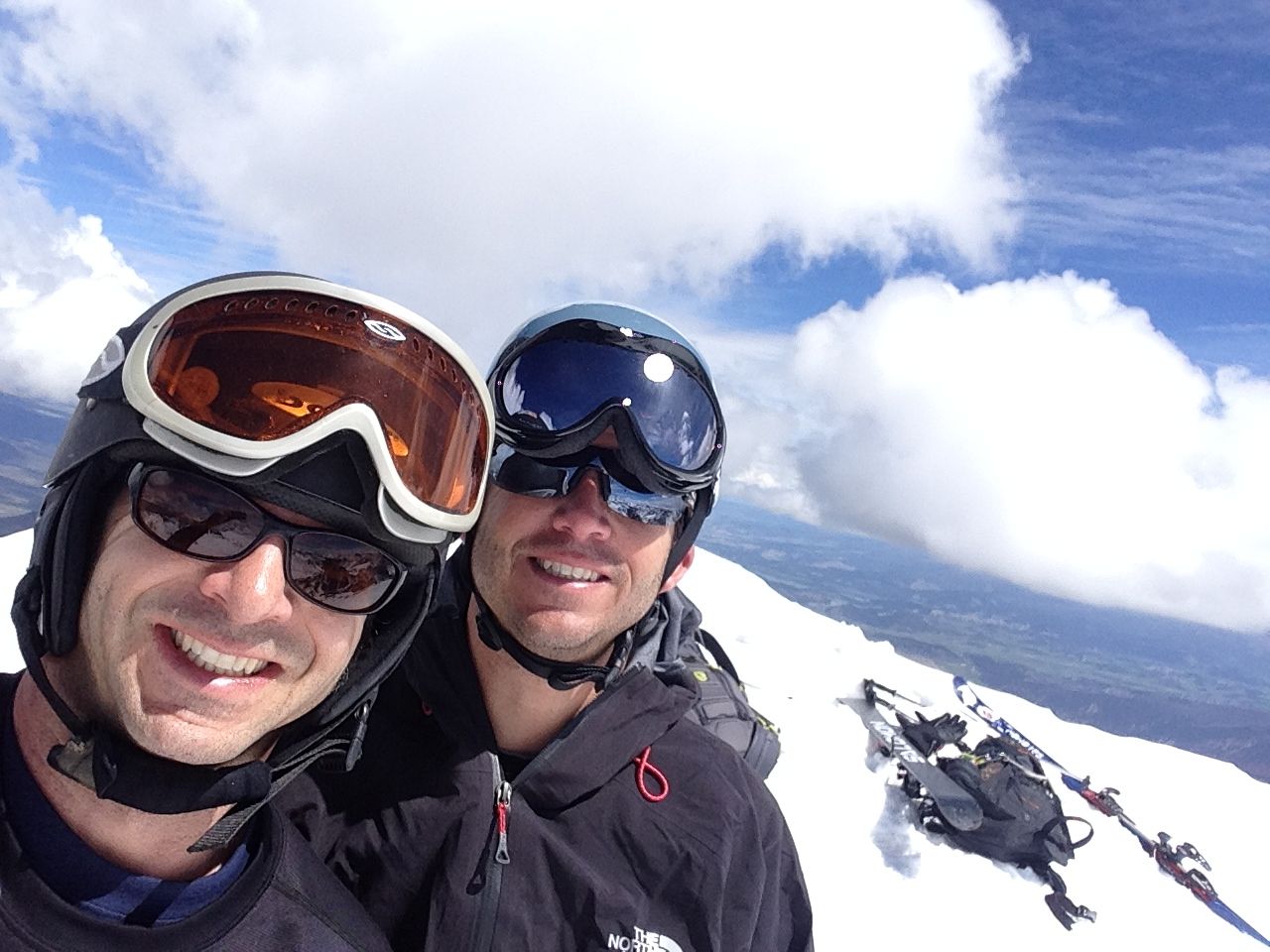
Mike straddling the summit ridge with some gray clouds building.
White folk on a mountain top.
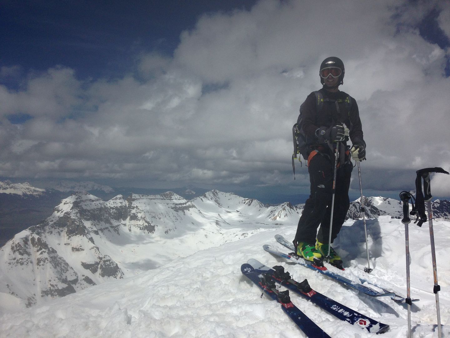
Fluorescent green BD quadrants.
We decided to ski the birthday chutes, off the summit you traverse slightly to the left then you have a few options on what to ski. Turns just below the summit.
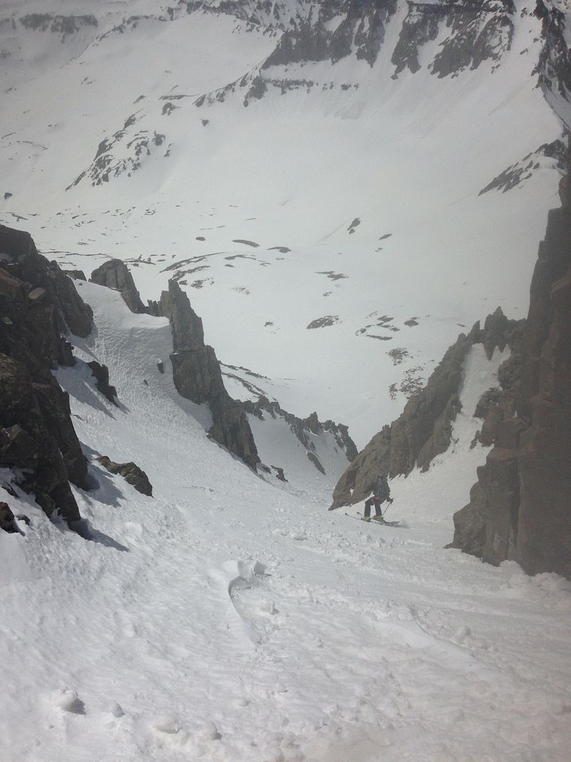
Lower down we found a narrow chute in between the two main chutes that looked like a fun ski and it was.
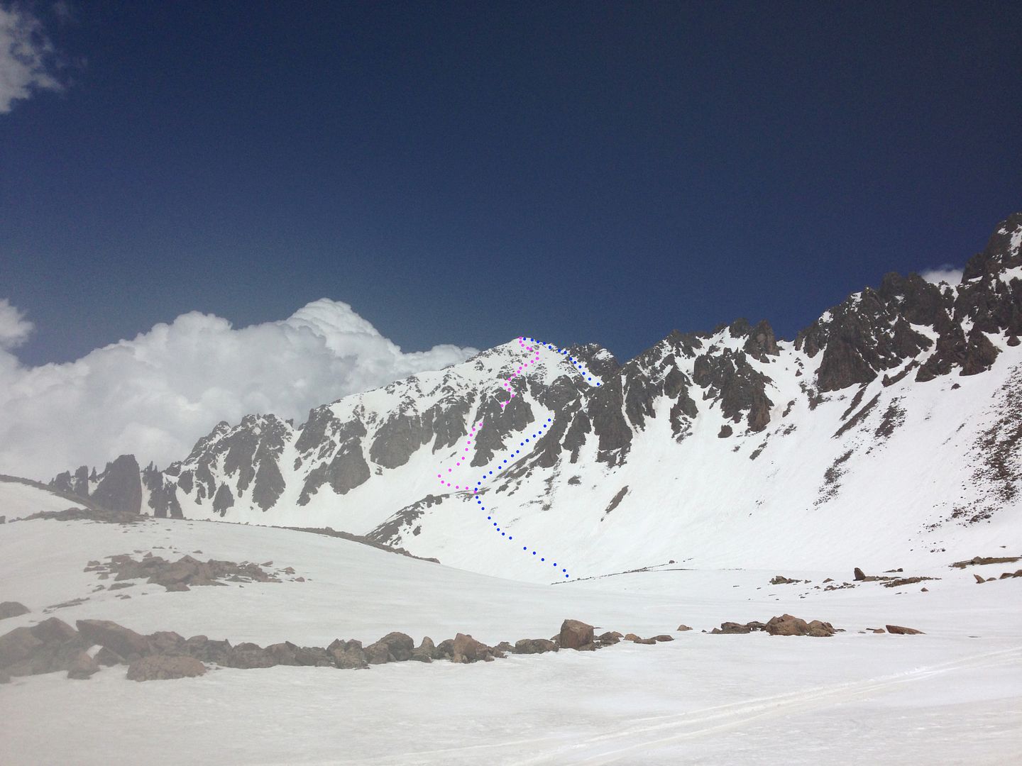
After skiing down into the basin we could see the peak with our ascent and descent clearly marked in blue and magenta, respectively. These markers decrease the chance of getting off-route markedly.
The whole trip went smoothly so nothing to exciting to say about it, just a classic ski with great access, skiing, and views. We made it back to the car at 12:30 about 5.5 hours round trip. Back in the jeep for the mud ride back to Ouray.
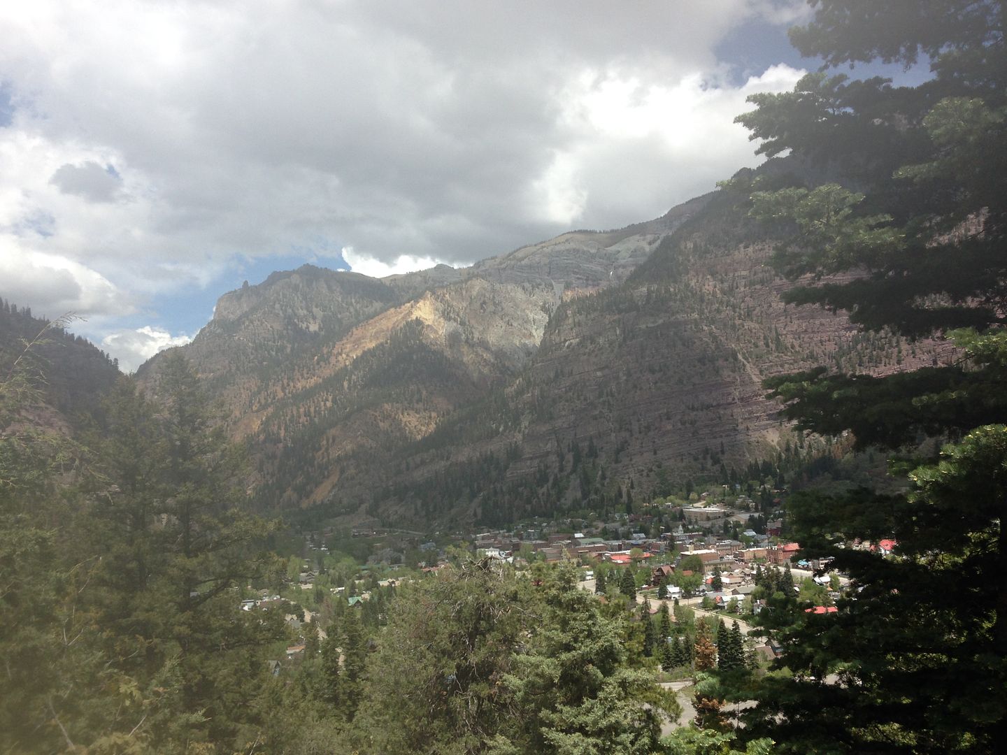
Looking down over the beautiful town of Ouray.
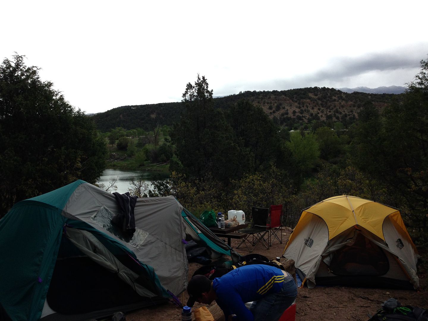
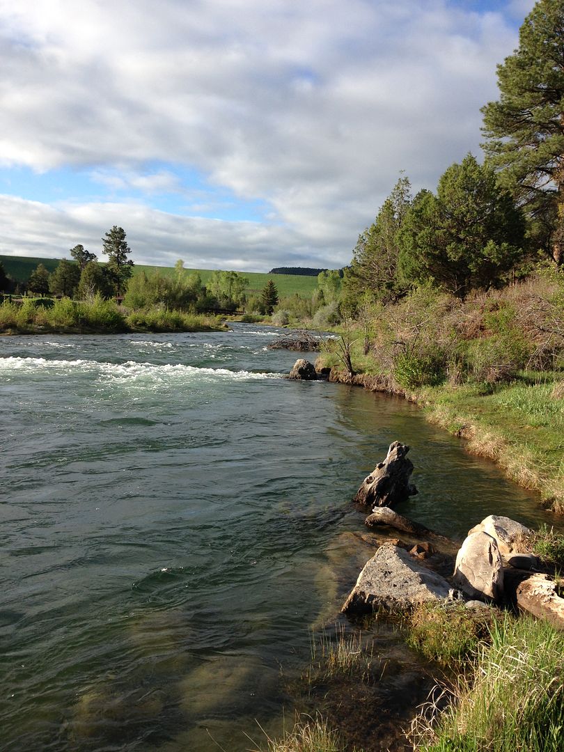
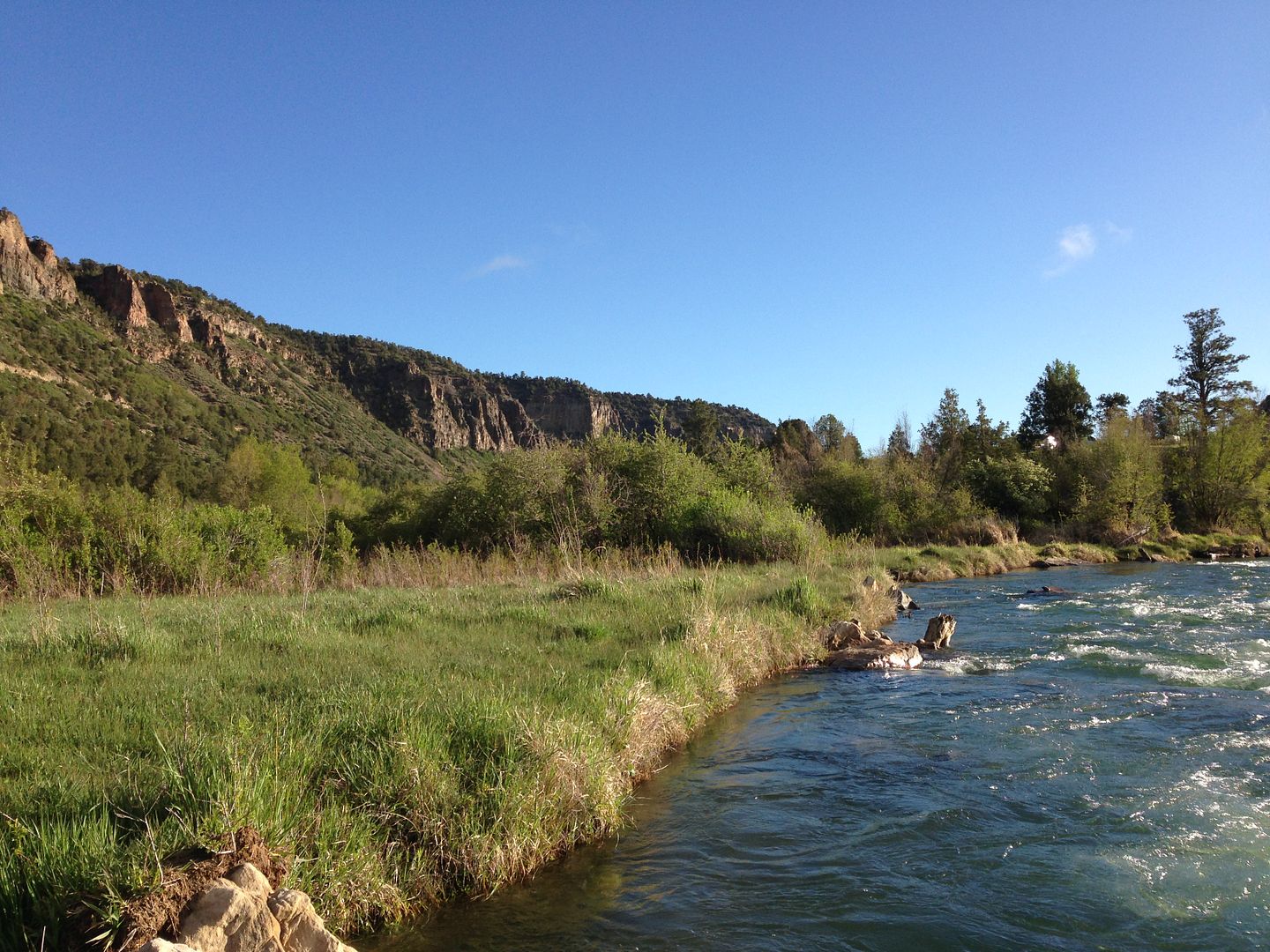
Colorful tents looking over the Uncompahgre river.
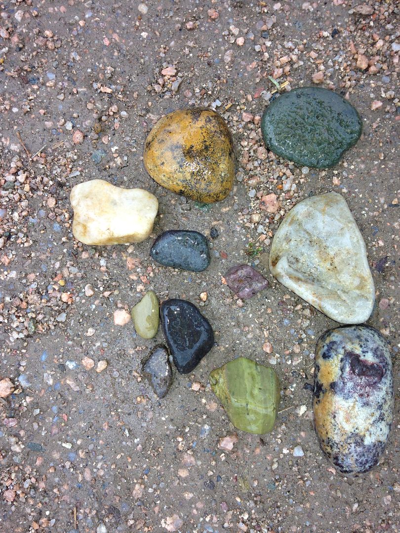
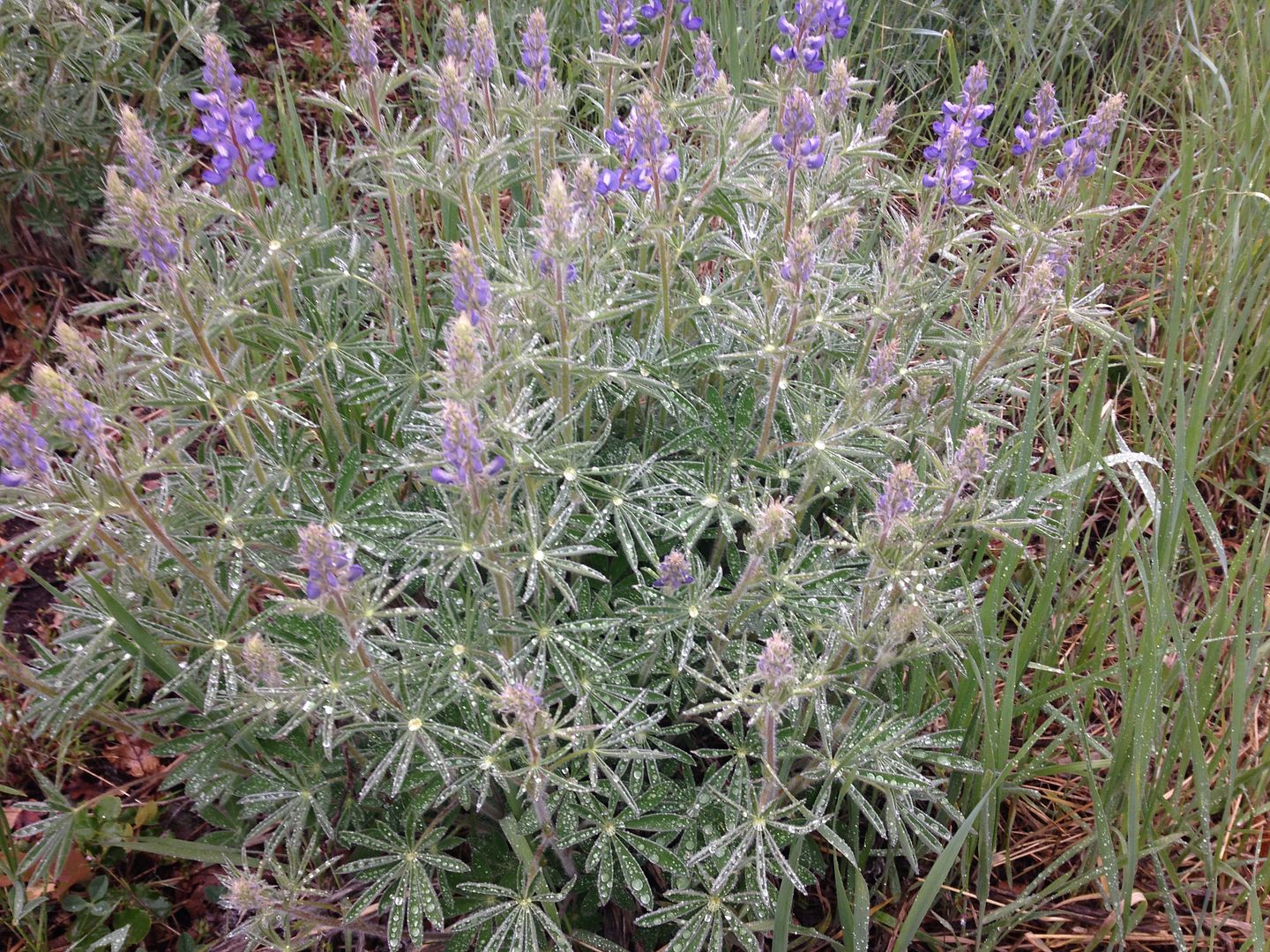
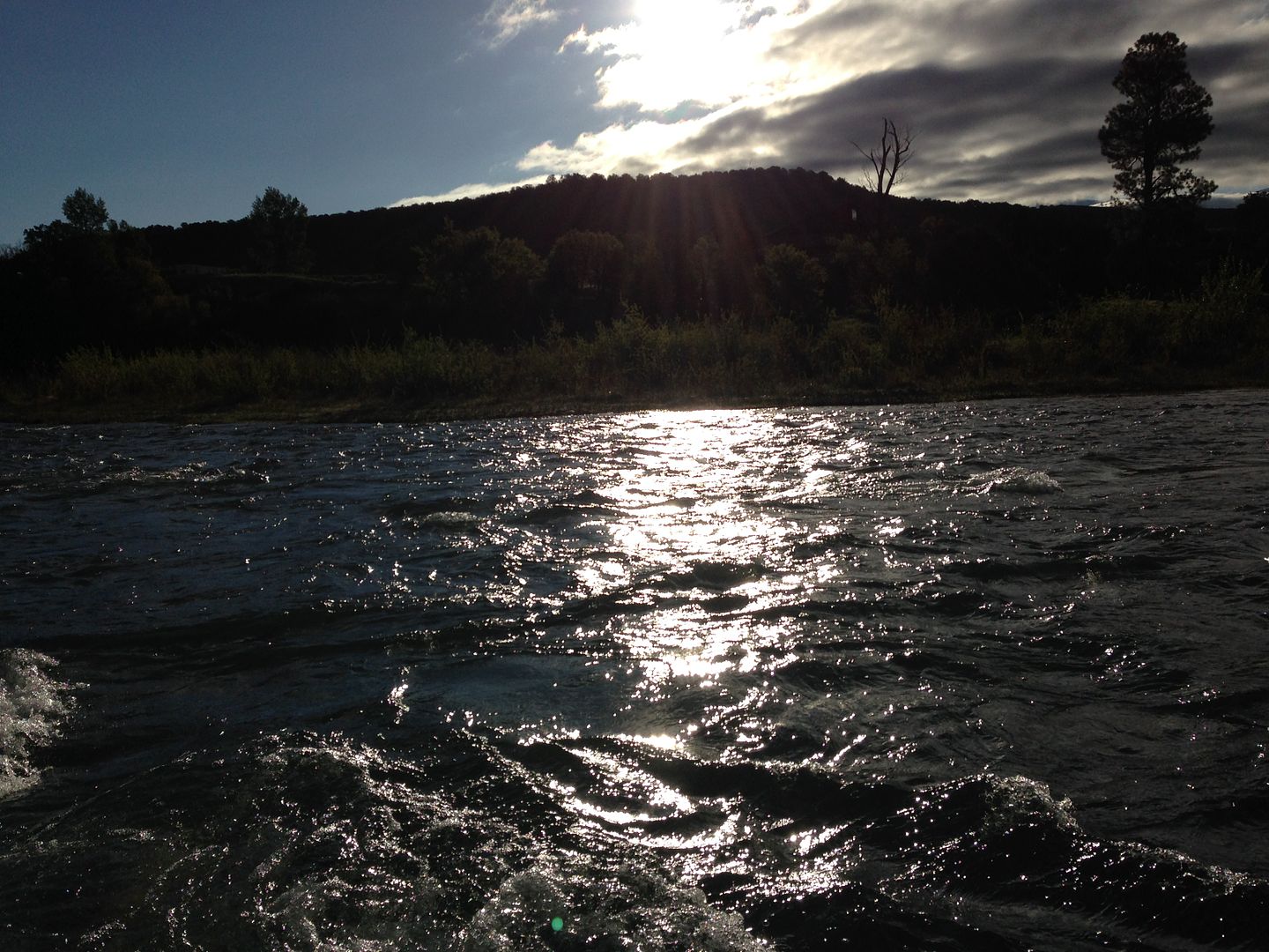
The rain picked up so we decided to take a nature walk to see if we could capture some more pictures of our colorful state.
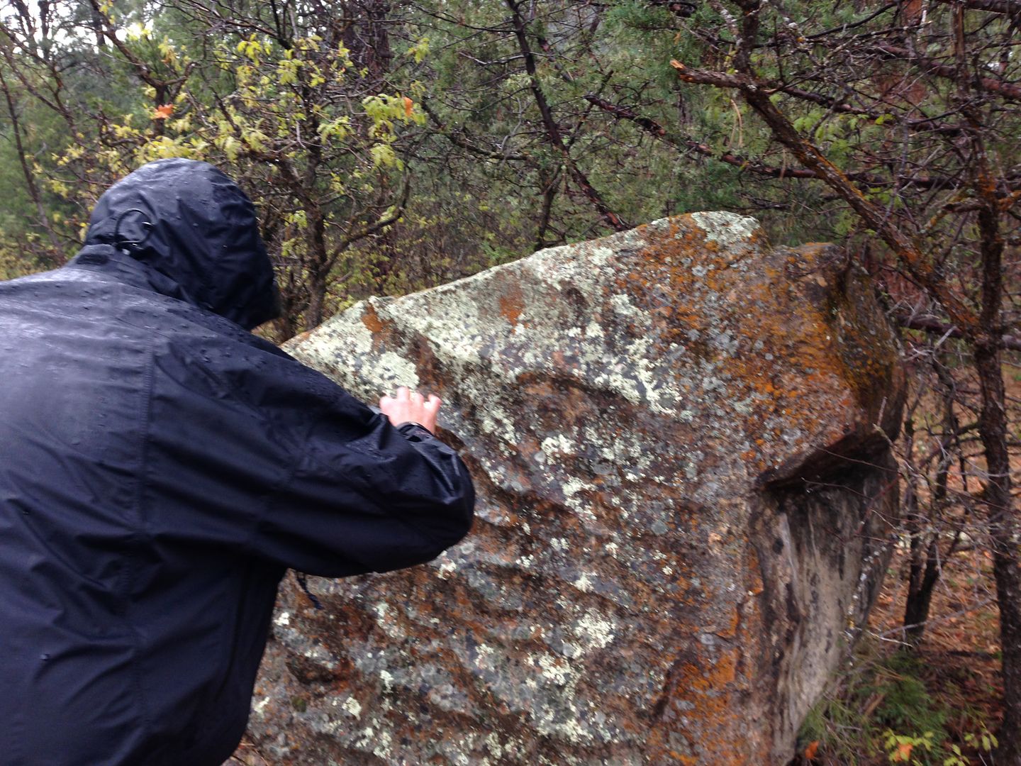
Colorful rocks
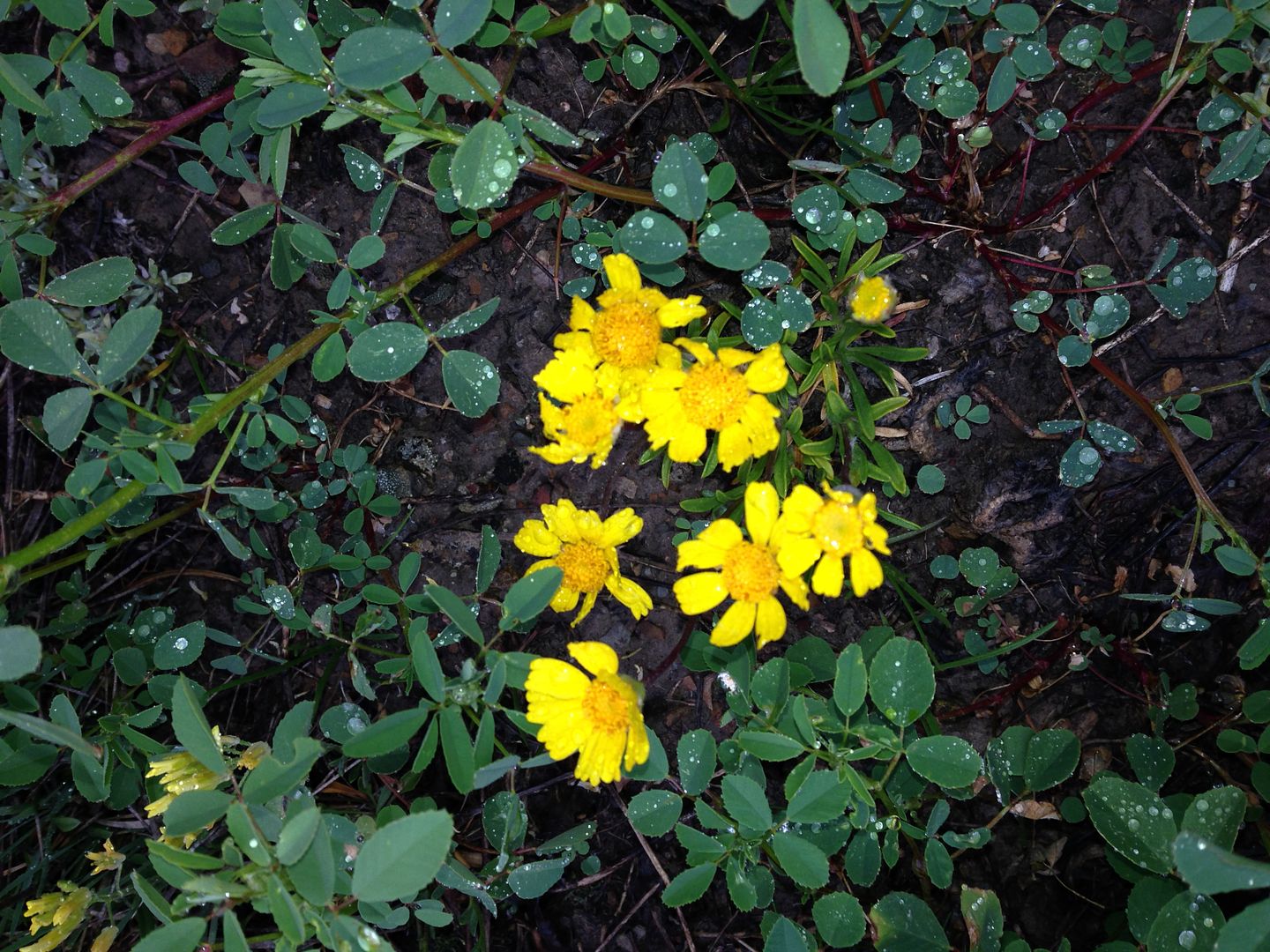
and flowers
Here's a picture of a person taking a picture of a colorful rock shaped by water erosion.
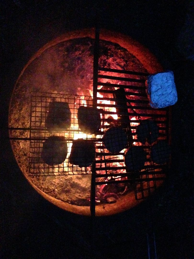
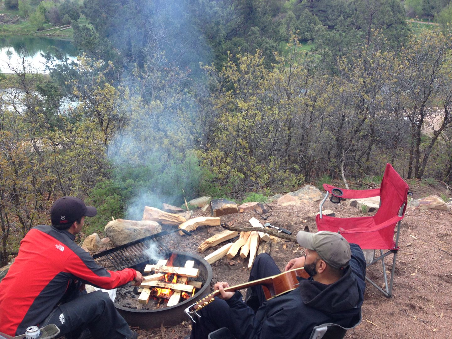
Blue tin foil, red coals, and black chicken.
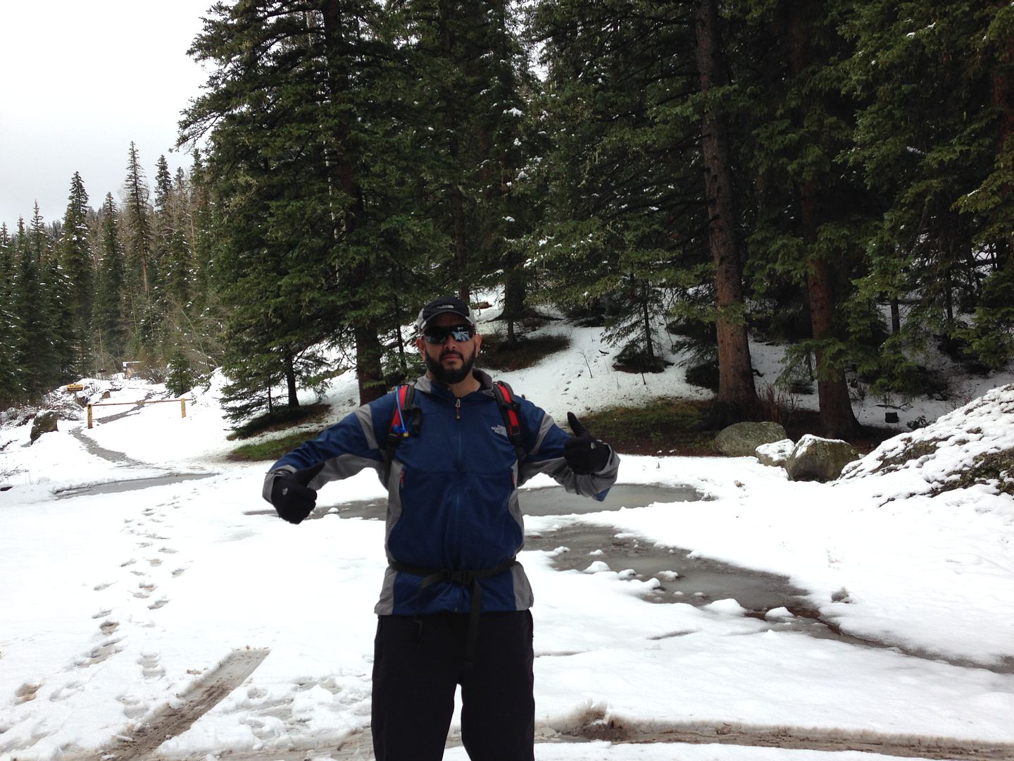
Next morning we woke up and headed up to blaine basin. Adan is ready to get after it.
Ominous clouds, menacing rock.
We made it to just below blaine basin, lost the trail then just decided to bail as bad weather looked like it was rolling back. It rained like you read about on 62 down to Ridgway, but cleared up just fine at our campground in time for the 7pm show featuring Adan on guitar and Mike on fire pit.
The night passed dry and we awoke to blue skies and more vibrant color surroundings.
All in all it was a great weekend away, and I am grateful to those who gave their lives serving this country so we can enjoy this brand of colorful freedom.
1. We started at the blue lakes th, Blue lakes trail went off to the right the trail we took went off to the left over a small bridge. i'm not sure if that's the same as the east dallas creek th, if so we could drive all the way up it, it was incredibly muddy on a lot of the road.
2. Made it across all stream crossings without getting wet, but a few got your attention.
3. On skis it was easy, on snow shoes my buddy was postholing quite a bit. The snow depth increased quite a bit after about a mile on the trail, the first mile had snow but it was all just the 3” new. Around 10-10.5k it got deep and we switched to skis and shoes.
Blue LakesTH is the same and both of those routes start here as you described them.
I have wanted to go from here for a couple of years but I never quite get the timing right. It seems to be either posthole hell or, if I wait too long there is not much to ski.
No idea as well but it concerned me since I'll be there on the 31st. I had seen it described on the ”Mt. Sneffels From Yankee Boy Basin” route description as about 100 feet below the summit. (Image 27 on the route description)
I think i understand, so as a snow climb, we left the couloir and then climbed a rock crux onto the upper snowy ridge. This was pretty hard with skis on the back and crampons on the feet, felt like pulling a low 5th class move. I just assumed we were off route because that's what we always do.
Caution: The information contained in this report may not be accurate and should not be the only resource used in preparation for your climb. Failure to have the necessary experience, physical conditioning, supplies or equipment can result in injury or death. 14ers.com and the author(s) of this report provide no warranties, either express or implied, that the information provided is accurate or reliable. By using the information provided, you agree to indemnify and hold harmless 14ers.com and the report author(s) with respect to any claims and demands against them, including any attorney fees and expenses. Please read the 14ers.com Safety and Disclaimer pages for more information.
Please respect private property: 14ers.com supports the rights of private landowners to determine how and by whom their land will be used. In Colorado, it is your responsibility to determine if land is private and to obtain the appropriate permission before entering the property.