Download Agreement, Release, and Acknowledgement of Risk:
You (the person requesting this file download) fully understand mountain climbing ("Activity") involves risks and dangers of serious bodily injury, including permanent disability, paralysis, and death ("Risks") and you fully accept and assume all such risks and all responsibility for losses, costs, and damages you incur as a result of your participation in this Activity.
You acknowledge that information in the file you have chosen to download may not be accurate and may contain errors. You agree to assume all risks when using this information and agree to release and discharge 14ers.com, 14ers Inc. and the author(s) of such information (collectively, the "Released Parties").
You hereby discharge the Released Parties from all damages, actions, claims and liabilities of any nature, specifically including, but not limited to, damages, actions, claims and liabilities arising from or related to the negligence of the Released Parties. You further agree to indemnify, hold harmless and defend 14ers.com, 14ers Inc. and each of the other Released Parties from and against any loss, damage, liability and expense, including costs and attorney fees, incurred by 14ers.com, 14ers Inc. or any of the other Released Parties as a result of you using information provided on the 14ers.com or 14ers Inc. websites.
You have read this agreement, fully understand its terms and intend it to be a complete and unconditional release of all liability to the greatest extent allowed by law and agree that if any portion of this agreement is held to be invalid the balance, notwithstanding, shall continue in full force and effect.
By clicking "OK" you agree to these terms. If you DO NOT agree, click "Cancel"...
Date: October 5th, 2014
Trailhead: Marshall pass @10,800 ft
Mileage: 9.5 miles
Vertical: 3,700 ft
Time: 6.5 hours
Party: Solo
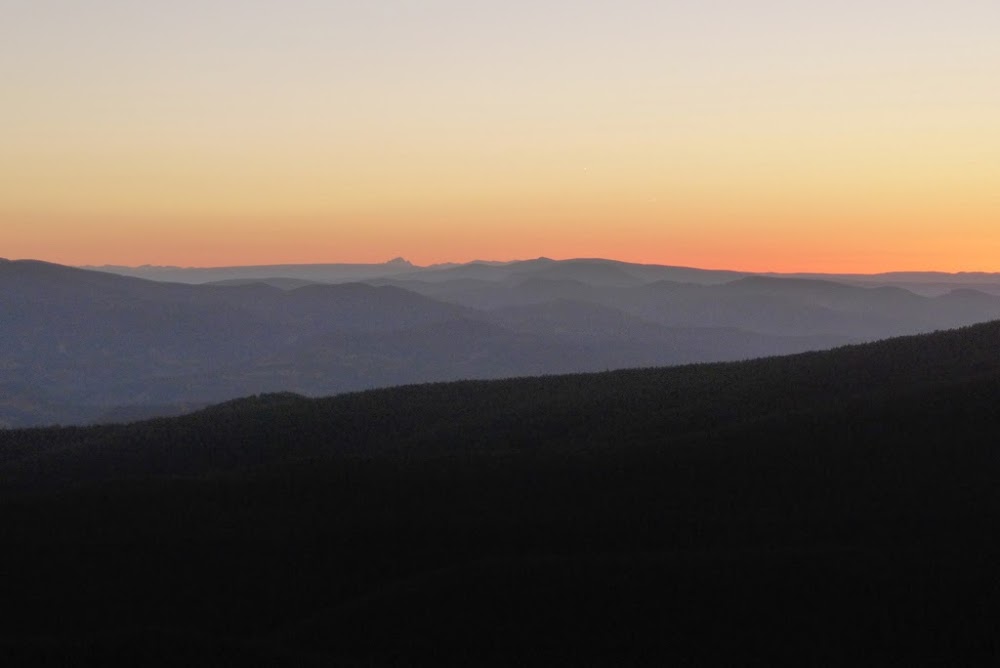
After hiking Rito Alto-Hermit-Eureka the day before I felt complete lack of motivation that morning. Colony Baldy was on the agenda, but I decided to head up north to Salida to get closer to the western side of the Sangres, since Jason and I had plans to hike Cottonwood A the next day. Once in Salida, I still couldn't find any motivation to hike, so I decided to go to brunch. While waiting to be seated, I looked through a local newspaper, hoping to find some good local scoop on foliage. And I did! The article mentioned a few areas with the editor's pick being the Marshall Pass area. I happened to agree, since last year we had an enjoyable hike up Mt. Ouray around this time of the year. After a hearty breakfast of scrambled eggs, bacon and hash browns (they didn't serve Bloody Mary, unfortunately), the mojo came running back around 11.15am and I decided that I didn't want to be like normal people, enjoying a lazy Sunday, but that I'd rather take a stroll in the alpine. I quickly dug up some beta on my phone on a 13er next to Mt Ouray. Piper14er described it as a fairly easy outing, and I was hoping for a short day with exorbitant amount of leaf viewing. From Salida, I set off in the direction of Marshall pass around 11.30pm and started hiking at an "alpine" hour 1pm (the forecast was expected to stay clear).
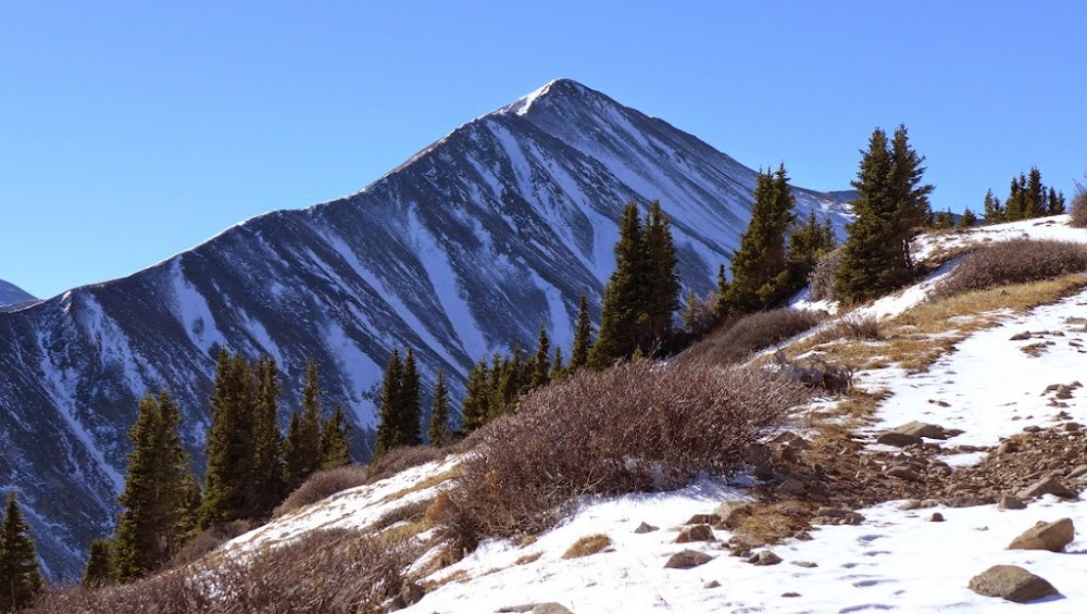
Mt. Ouray on the drive in
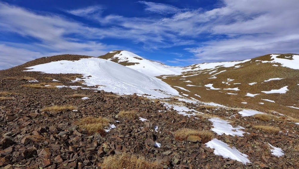
Before departing the TH I studied the map of the area, noticing there was Colorado trail going in the direction I needed. Lacking any good beta on CT, I decided to follow the route up the ridge, described in several trip reports. There is no trail, but the route is fairly straightforward.
Initial ascent of the ridge
Mt. Ouray comes into view
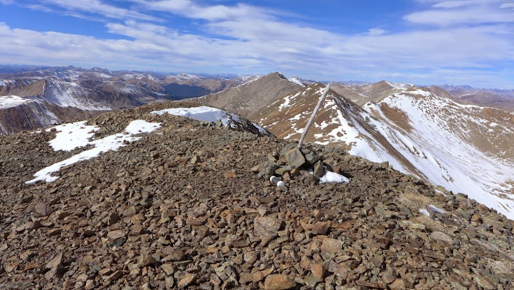
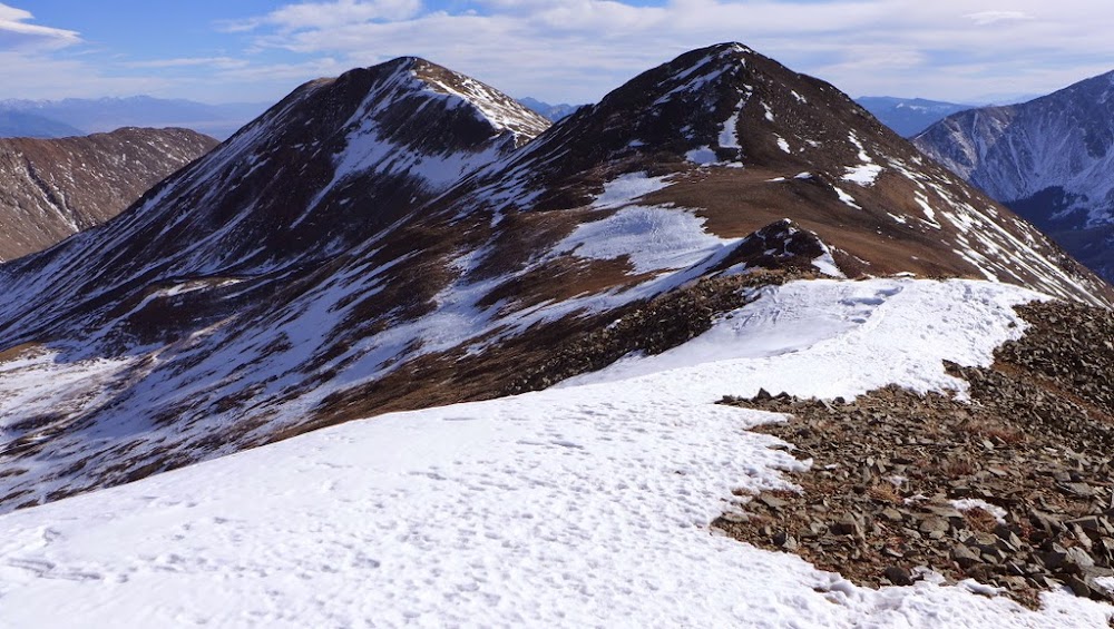
Long ridge to my destination PT 13,472
Looking back at the ridge
En route stumbled upon an interesting marker for the Chaffee county
A disheartening view from the 12er at my destination. Given the amount of ups and downs, I was running an hour behind my schedule.
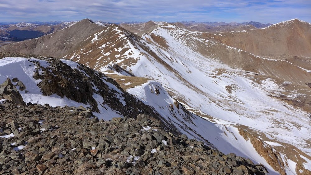
The ridge almost in its entirety
I didn't stay on the summit too long and hightailed back to the 12er as quickly as I could. Then it was a decision time. I didn't want to repeat all the ups and downs on the ridge, which almost certainly meant descending the last off trail section in the dark.
Instead, I took a hard look at the Colorado Trail in the valley. Found the gentle descent slope and joined the CT as the sun was setting.
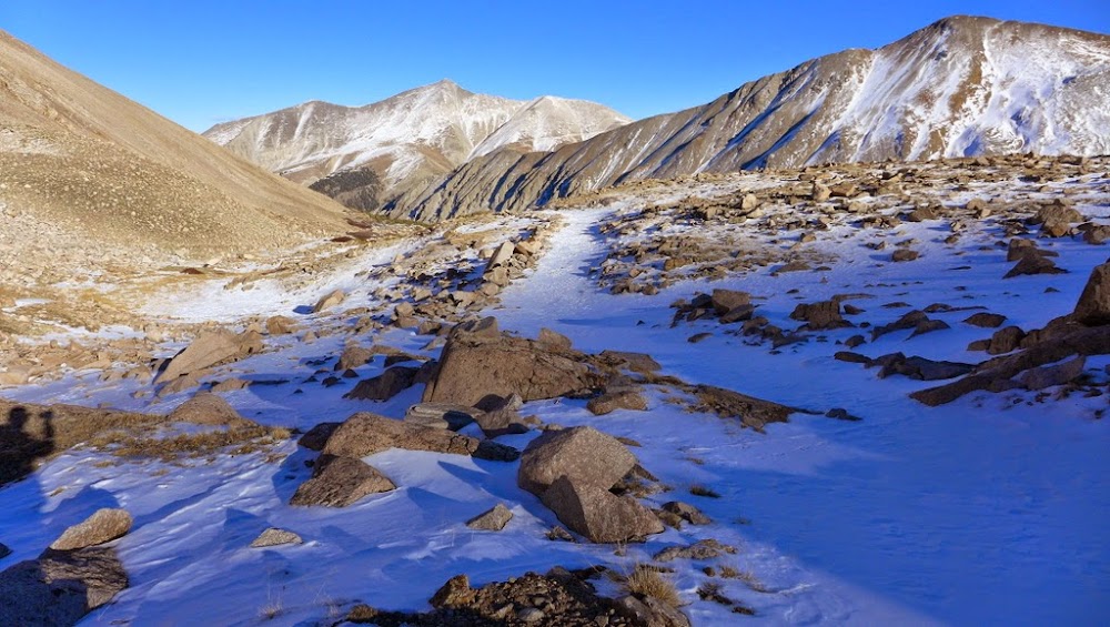
Easy descent line
Then it was a matter of mindlessly booking it back to the TH, enjoying a lovely sunset. I arrived back at the car at 7.30pm, using the headlamp only for the last 1/2 hour.
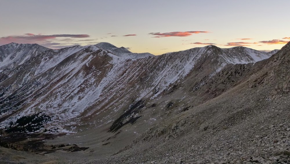
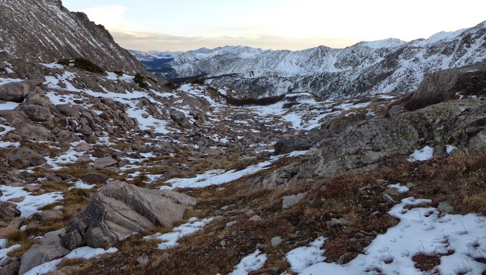
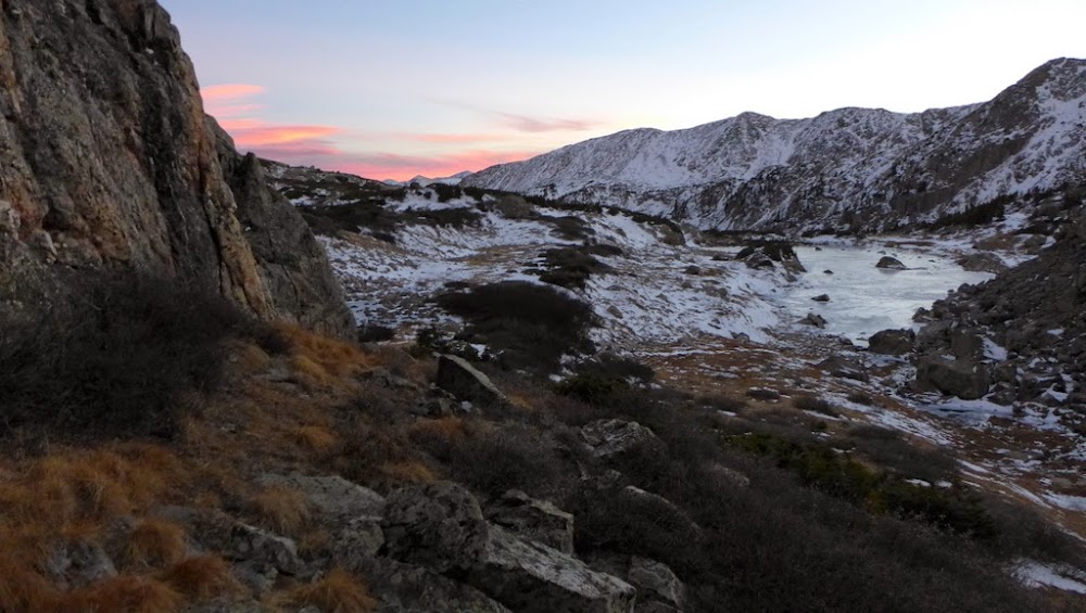
Looking in the direction of La Garitas
Carbonate-Cyclone-LoCarb-Grizzly Mtn loop
Date: October 31st, 2014 (Halloween scare!)
Trailhead: Cyclone Creek TH/ghost town of Shavano
Mileage: ~9 miles
Vertical: 4,200 ft
Time: 10 hours
Party: Solo
I wasn't expecting to get to these peaks this fall, but once again, the weather forecast looked spectacular, so I was tempted to hike again. I begged my boss to give me a Friday off, but didn't manage to get off work until 8pm on Thursday. I was able to pack for the weekend that night, but driving that late was out of question. On the early morning drive into the mountains, I was still coming up with some ideas what to hike, finally zeroing on this four 13ers/3 bicentennials loop. After a long & tedious drive from Denver, I found what I thought was a starting point and set off at 10am.
I set off from the Town of Shavano site, but to my dismay the trail quickly petered out.
After wandering aimlessly for about 15 minutes, I closely studied the map and eventually found the trail, which wasn't very obvious. In case the trail was easy to follow, I intended to start with Grizzly, as it was supposed to be the hardest peak of the bunch. But the trail was very faint and I kept loosing it, so I made a decision to head up Carbonate first.
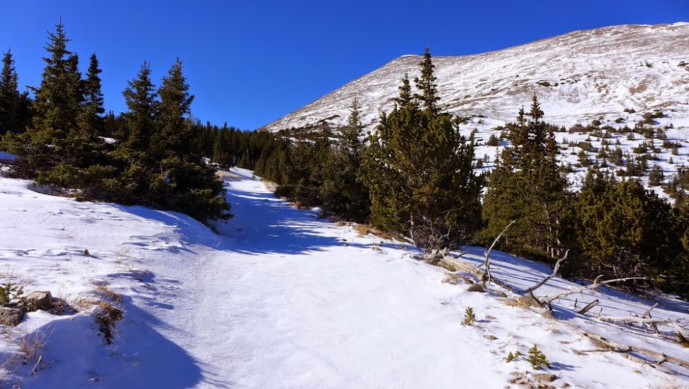
Breaking through the treeline
Grizzly seen at the end of the basin
Unfortunately I didn't pick a good shoulder to ascend Carbonate, so about 1,000 ft of scree sliding followed.
Inefficient and unpleasant ascent line
Eventually the slope relented and it was a straightforward hike to the summit
Carbonate summit becomes visible
On the summit looking at Cyclone, LoCarb and Grizzly
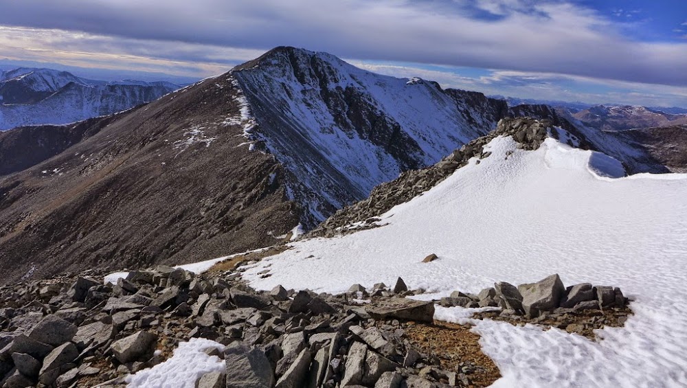
The ridge ahead
Taylor & Aetna
The hike over to Cyclone went quickly and I was rewarded with a unique register. It goes back to 1989 - the oldest I've seen on the peaks so far, and it was still in a pretty good shape with just a couple blank pages left.
Remaining route up LoCarb and Grizzly
Looking back at Cyclone and Carbonate
Beginning of the ridge to Grizzly - a notable deviation from the gentle terrain so far, as it quickly becomes loose and steep.
Looking down the Class 3 section
Looking up at the same section after the downclimb
But it wasn't the ridge crux. A little ways down the ridge a large loose rock unexpectedly shifted and pinned my foot, luckily, it was just a minor scare (and a bruise). I immediately stuck the foot in the snow to help ease the pain.
Passing through the unstable and loose section
More loose rock
After reaching the saddle, the terrain quickly mellowed out and it was just a matter of grunting up to the 4th summit of the day.
Mamma (L) to Boulder (R) ridge
Lo Carb & Cronin
Mamma & Boulder from the summit of Grizzly ~5pm
Ridges of the day
Starting the descent
The sun was setting, so I had to quickly come up with the game plan to descent. But first I had to give another ice bath to my throbbing toe and to peel myself from watching a sunset. After those tasks complete, I bombed down 2,000 ft of scree as expediently as I could in the waning daylight angling to merge with the imaginary mining trail. By the time I get to the point I thought I might catch a trail, it got dark and I wasn't able to find it. In the end, it worked out. I just took a path of least resistance along the creek, and made it work. When an opportunity presented itself, I crossed the creek on iced over rocks. Eventually I picked up something resembling a trail which after some distance actually became a trail, which led me back to my car around 8pm.
Trying to decipher an existence of a trail in this basin
Boulder - Mamma loop
Date: November 8th, 2014
Trailhead: Baldwin gulch 2WD TH
Mileage: ~16 miles
Vertical: 5,000 ft
Time: 10.5 hours
Partner: Will
This loop was squarely on my mind after staring at it from Grizzly the previous weekend. It didn't take long to convince Will to join. Shortly after 7am we set off from the lower TH.
Antero
The road had surprisingly deep drifts, as it is north-facing.
South-facing face of Princeton looks dry
Will and Cronin
More Cronin
Road walking
More road walking
Approaching the summit
Summit of Boulder Mtn
Cronin
Returning the gaze to Grizzly, Aetna and Lo Carb a week later
Will finds a short snowdrift on otherwise dry ridge
Ridge to Mamma (R) and Grizzly (L)
On the ridge
Mt. Mamma with its long shoulder
Looking back at Boulder Mtn
Remaining ridge section
Will
We almost skirted the true summit, as both out gps' showed the summit another 0.4 miles away. After discovering the register we closely studied the contour lines on our maps/garmins/delormes and determined that in fact, this was the highest point on the ridge. What a relief! The descent was easier than expected. We could clearly spot a trail lower in the basin. We just had to aim for the orange pile of dirt in the basin, left behind from the mining operation.
Trail must be right behind this...
Voila!
Looking back at the descent route
From catching the mining road, it was a matter of hiking it for 5 miles - not very exciting, but rather efficient.
Cronin
Antero
Pt 13,768 near Mt. of Holy Cross
Date: November 9th, 2014
Trailhead: about a mile below French Creek TH
Mileage: ~13.5 miles
Vertical: 4,300 ft
Time: 10.5 hours
Partner: solo
Hugh was supposed to join me on the hike, but got a minor injury in the gym and had to cancel. The weather was looking spectacular, so I decided to hike anyway. UN 13,768 has been on my "wish list" for a few years, longer than any other peak in this TR. Initially, I was saving it as a "foliage hike". Only recently, upon realization that there was no foliage, only pine trees on the approach, it brought the peak to the top of my hiking list. I didn't know how far up the road I could get in a Subaru, so was contemplating hiking from the bottom of the road. In daylight, I realized the slope was south facing, meaning the road should be mostly dry. If was for the most part, but eventually, I was stopped by a significant ice flow, about 0.7 miles away from the summer TH.
Approaching the summer TH
My summer boots got wet the day before hiking the snowy roads in Baldwin Gulch, so I decided to go with mountaineering boots today. Big mistake! The extra weight zapped my energy and slowed me down. The trail was dry for the most part and I felt boots' heavier weight and lesser flexibility from the get go. True to the form, I lost the trail in the beginning by taking the wrong turn near the Diversion Dam, but quickly regained it without loosing too much time this time around.
Hiking up the Holy Cross City jeep road, I was initially passed by a couple of jeeps. I soon caught up to them, as they struggled to get over obstacles - iced over rocks.
Heavily modified jeep trying to navigate the Holy Cross City jeep trail
Check out those wheels!
Not sure who won the battle - the road or the jeeps, as I lost the sight of the jeeps fairly quickly. I had a minor trouble finding the "proper" Fall creek trail under the snow drifts, so just went in the general direction of the Hunky Dory lake.
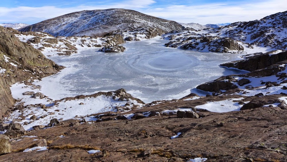
Hunky Dory lake
From there, I was able to follow the Fall creek trail, which was still decipherable under smaller snow drifts.
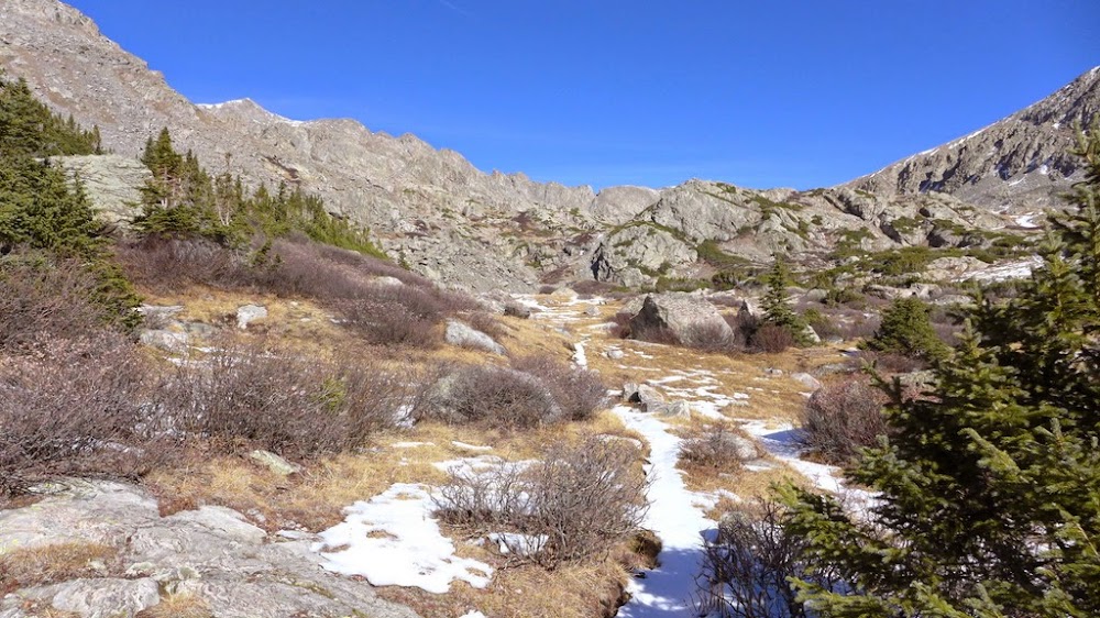
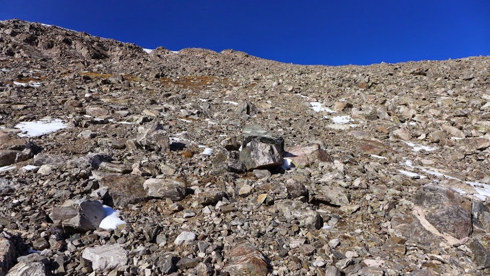
Upper basin
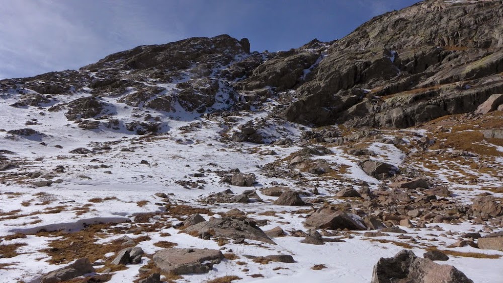
Peak comes into the view, with the route not entirely obvious
I overshot the route by going too far towards Fall Creek pass
I descended 200 ft back to the lake, but was unable to see a good route up higher, that didn't involve post-holing or bypassing cliffs. It was about 1pm, I was out of gas, food, tired and frustrated. I decided to call it a day. I circled back around the lake, and suddenly saw a path.
Seeing a dry path towards the higher basin
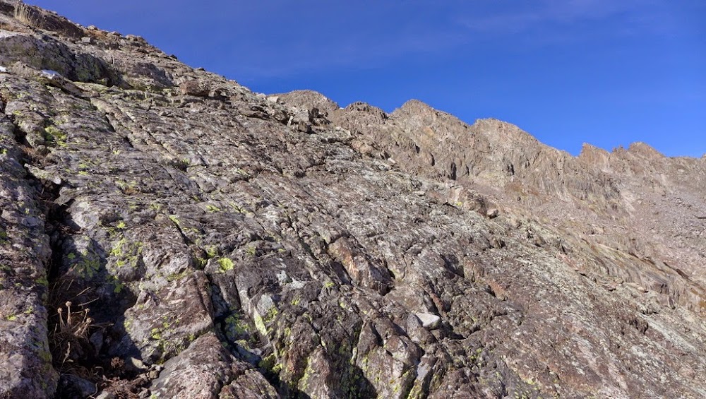
The route steepens and then becomes slabby
Enjoying solid holds, albeit it's more challenging in heavy mountaineering boots
Sticking with it
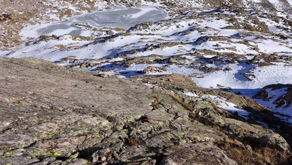
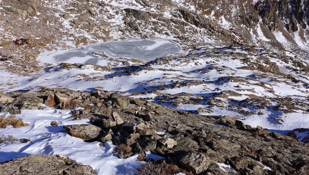
Looking back at the lake
Remaining route comes into the view
The standard route, I believe, bypasses the upper lake on the left. I am too tired to even attempt postholing in deep snowdrifts. Instead, I test the ice and around 2pm get my first major lucky break of the day - the ice is solid. I glide to the other side of the lake towards beautiful solid slabby ramp
Slabs
After topping on the slabs, it is still a grunt of the remaining 1,000 ft to the summit, and I am completely out of energy.
In a sea of talus, I spot something resembling solid rock and decide to steer towards it.
A beautiful face with solid holds
A bit higher the face becomes more broken, but the blocks are still solid.
Top of the ridge comes into view - finally
Near the ridge with unranked Pt 13,618 (L)
Topping out near the summit
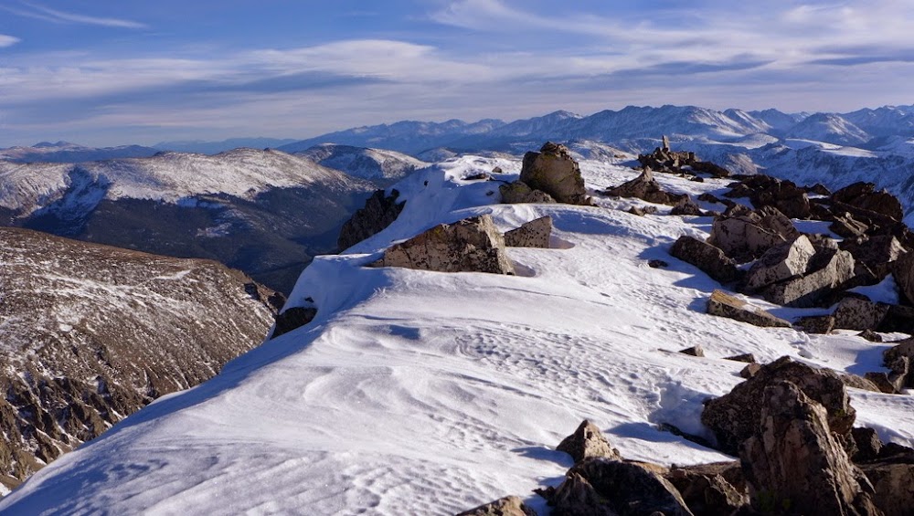
Summit ~3.40pm
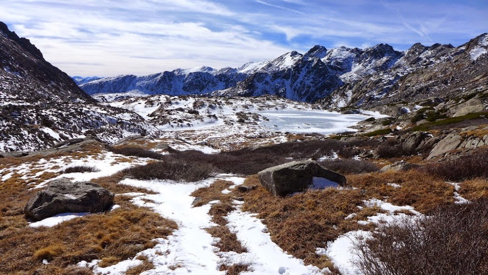
Upper Tuhare lake
Holy Cross Ridge and Holy Cross
Back at the lake
Texture
Just enough daylight to find a good descent line to the lower basin
Instead of trying to find a route on the left towards the trail I came up, I take a more obvious dry path on the right towards the lower Seven Sisters lake
Descending towards the lower Seven Sisters lake as the sun is setting
I picked up the trail with the last rays of sunlight around 5.30pm and donned a headlamp near the Hunky Dory lake. Another lucky break - since I was gone, a few parties made it to the lake and back, breaking a nice trail through the snow. I followed it without any difficulties, this time taking a correct turn by the Diversion Dam and arriving at my car near 7.30pm. This hike, more difficult than any others this Fall, with route finding challenges, made for a perfect capstone to the Summer-Fall'14 hiking season.
My GPS Tracks on Google Maps (made from a .GPX file upload):
...has definitely been on my list since the first time I could identify it, Holy Cross, & Holy Cross ridge from the Snowmass ski resort. Seeing it from the other side this summer during my loop on HC only bolstered this need to climb it! This TR will be of much use when I go for it & Whitney next year. Also... Nerves of steel crossing a lake on a solo outing!
Great pics. I love the perspective on the upper lake pictures in your 13,768 section. The timing of your picture of Holy Cross Ridge is ironic . I wore my mountaineering boots that day too. Glad I did though. It was pretty windy up above for me. Thanks for sharing!!
Caution: The information contained in this report may not be accurate and should not be the only resource used in preparation for your climb. Failure to have the necessary experience, physical conditioning, supplies or equipment can result in injury or death. 14ers.com and the author(s) of this report provide no warranties, either express or implied, that the information provided is accurate or reliable. By using the information provided, you agree to indemnify and hold harmless 14ers.com and the report author(s) with respect to any claims and demands against them, including any attorney fees and expenses. Please read the 14ers.com Safety and Disclaimer pages for more information.
Please respect private property: 14ers.com supports the rights of private landowners to determine how and by whom their land will be used. In Colorado, it is your responsibility to determine if land is private and to obtain the appropriate permission before entering the property.