Download Agreement, Release, and Acknowledgement of Risk:
You (the person requesting this file download) fully understand mountain climbing ("Activity") involves risks and dangers of serious bodily injury, including permanent disability, paralysis, and death ("Risks") and you fully accept and assume all such risks and all responsibility for losses, costs, and damages you incur as a result of your participation in this Activity.
You acknowledge that information in the file you have chosen to download may not be accurate and may contain errors. You agree to assume all risks when using this information and agree to release and discharge 14ers.com, 14ers Inc. and the author(s) of such information (collectively, the "Released Parties").
You hereby discharge the Released Parties from all damages, actions, claims and liabilities of any nature, specifically including, but not limited to, damages, actions, claims and liabilities arising from or related to the negligence of the Released Parties. You further agree to indemnify, hold harmless and defend 14ers.com, 14ers Inc. and each of the other Released Parties from and against any loss, damage, liability and expense, including costs and attorney fees, incurred by 14ers.com, 14ers Inc. or any of the other Released Parties as a result of you using information provided on the 14ers.com or 14ers Inc. websites.
You have read this agreement, fully understand its terms and intend it to be a complete and unconditional release of all liability to the greatest extent allowed by law and agree that if any portion of this agreement is held to be invalid the balance, notwithstanding, shall continue in full force and effect.
By clicking "OK" you agree to these terms. If you DO NOT agree, click "Cancel"...
Mountains: Blanca Peak (14,345') and Ellingwood Point (14,042')
Route: Started at 10,000' (approx) on Lake Como Road and climbed standard routes to both summits.
Stats:
Elevation Gain - 5500' (approx)
Roundtrip Mileage - 12.5 miles (approx)
Roundtrip Time - 10:45 including stops and time on summits
Blanca and Ellingwood Point were the only two peaks I hadn't climbed yet that presented a manageable weather forecast this weekend (40% chance of thunderstorms mainly after noon). NOAA's radar page showed the storm system moving NW clearing out of the Blanca region on Friday night. I decided to do a day trip (Saturday) from as far up on Lake Como Road as I could manage to drive. I left Boulder on Friday afternoon and reached the base of the 4X4 Talus Field at 9:15PM. Driving up the road in complete darkness was tricky and I made it to a large parking pull-off at about 10,000' by 10:15PM and decided I had done enough for a comfortable day trip. Vehicle problems would suck when you're solo and I'm a conservative off-road driver when I'm by myself.
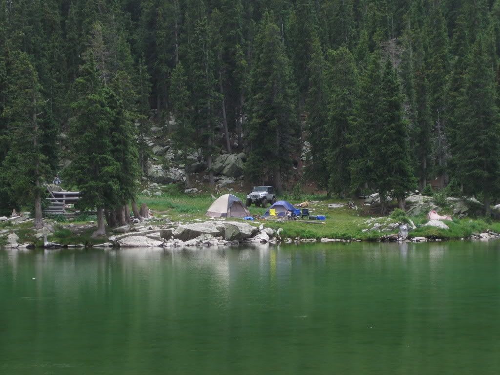
I slept at half past ten with the alarm set for 2AM. My plan was to start hiking at 2:30, but I woke up to rain and completely overcast conditions... possibly the death throes of the system that was leaving. I pushed departure back by an hour. At about 4AM the rain stopped but the clouds remained. I started moving nevertheless. I would have plenty of time and daylight to evaluate my decision from timberline. The hike up the road went reasonably well and I broke at Lake Como for a squirrel's breakfast and some V8 at 5:30AM. The clouds were clearing up quickly and I might not need to extend my stay by a day.
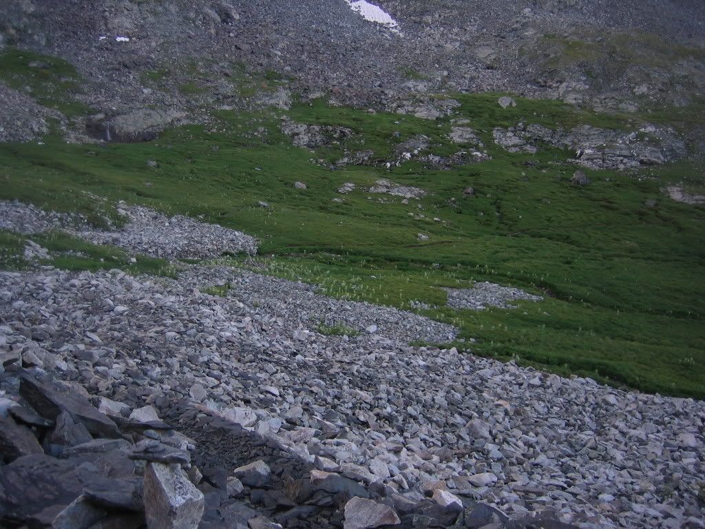
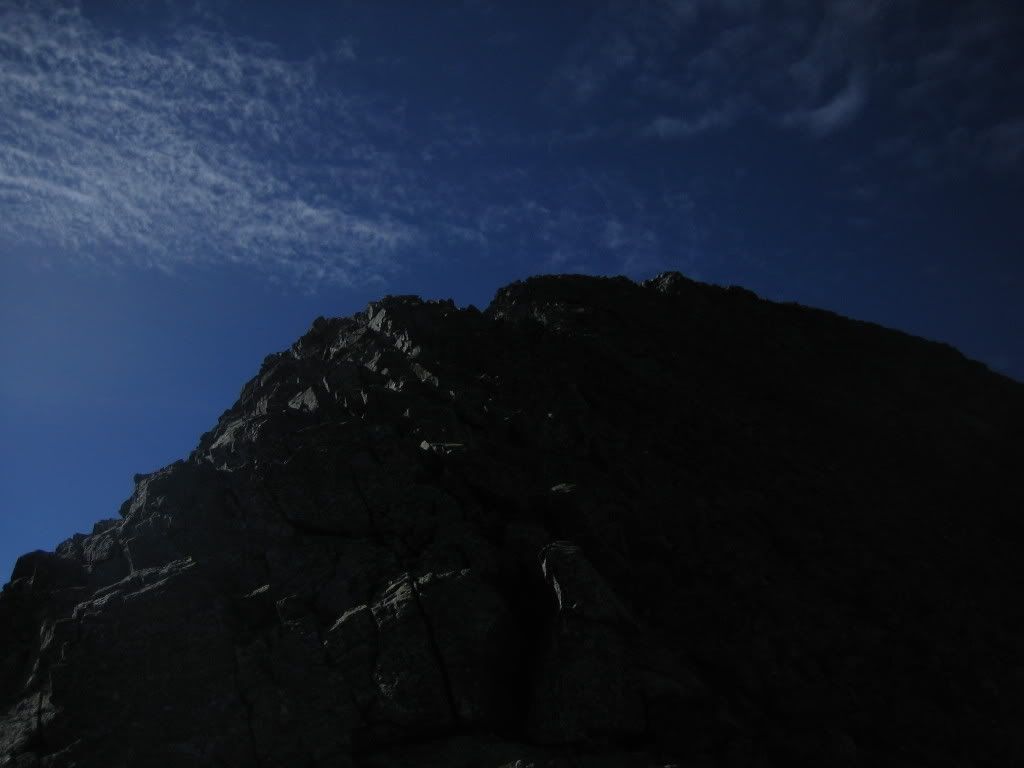
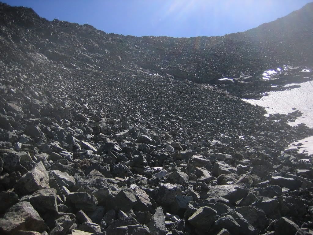
After a relaxed breakfast I started heading up the rest of the road. I was watching for tents erected by a few other forum members but couldn't find them. I was seeing signs of a bluebird day. I soon made it past the road and to the Class 1 standard route up to the basin. Here's looking down much of the route up to the basin.
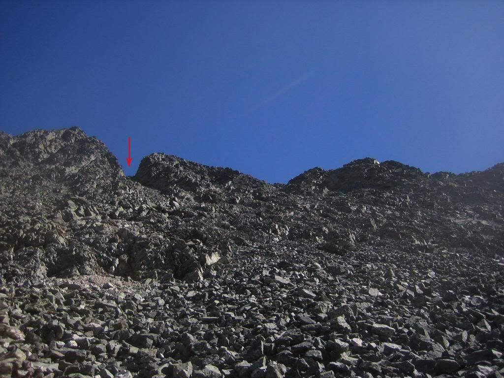
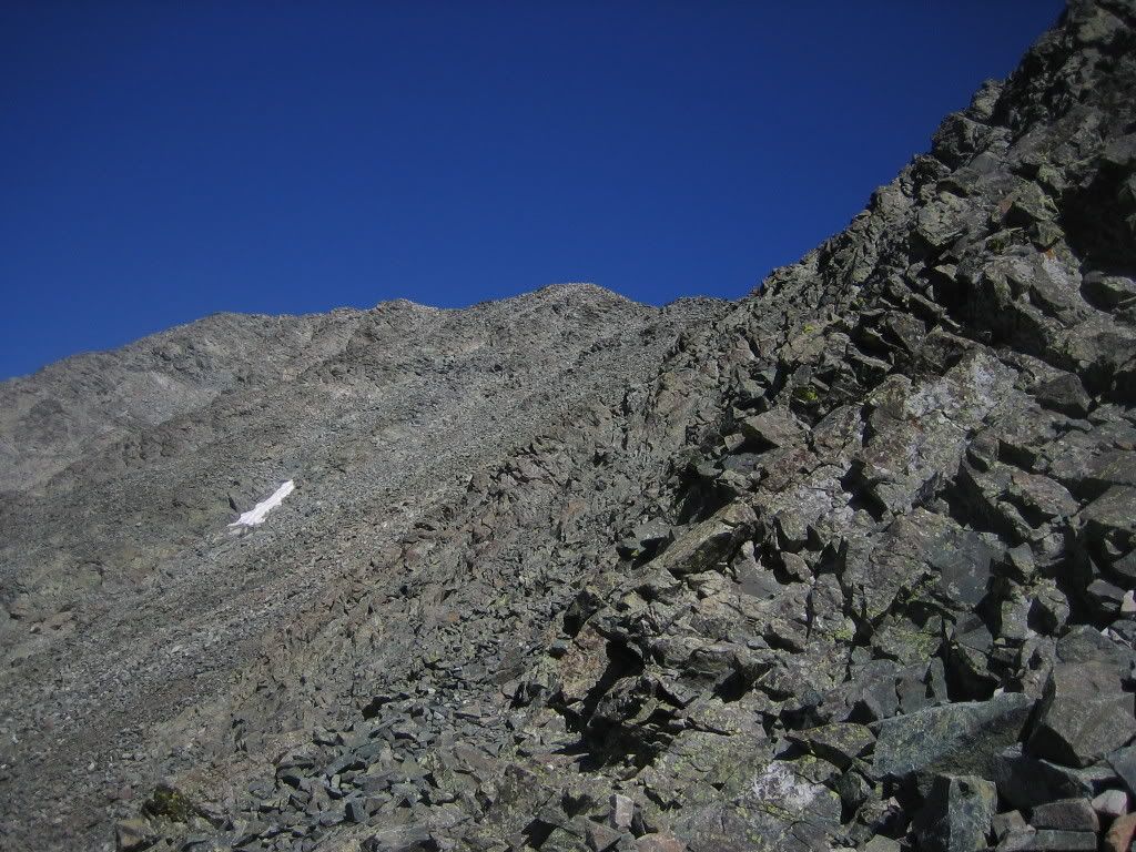
Beyond the basin the route turns into Class 2 and stays that way up until either summit. There is a lot of steep talus to be negotiated which is probably what ramps the ratings up to 'Difficult Class 2'. Most route descriptions state that the hardest part of a climb of Ellingwood's standard route is spotting the turn off from the standard Blanca trail. I missed it on the way up Blanca, but had no difficulty spotting it on the traverse. The turn-off is at about 13,300'. Watch for the following notch on the ridge to your left when heading up the Blanca trail (the next four photographs were taken later in the day).
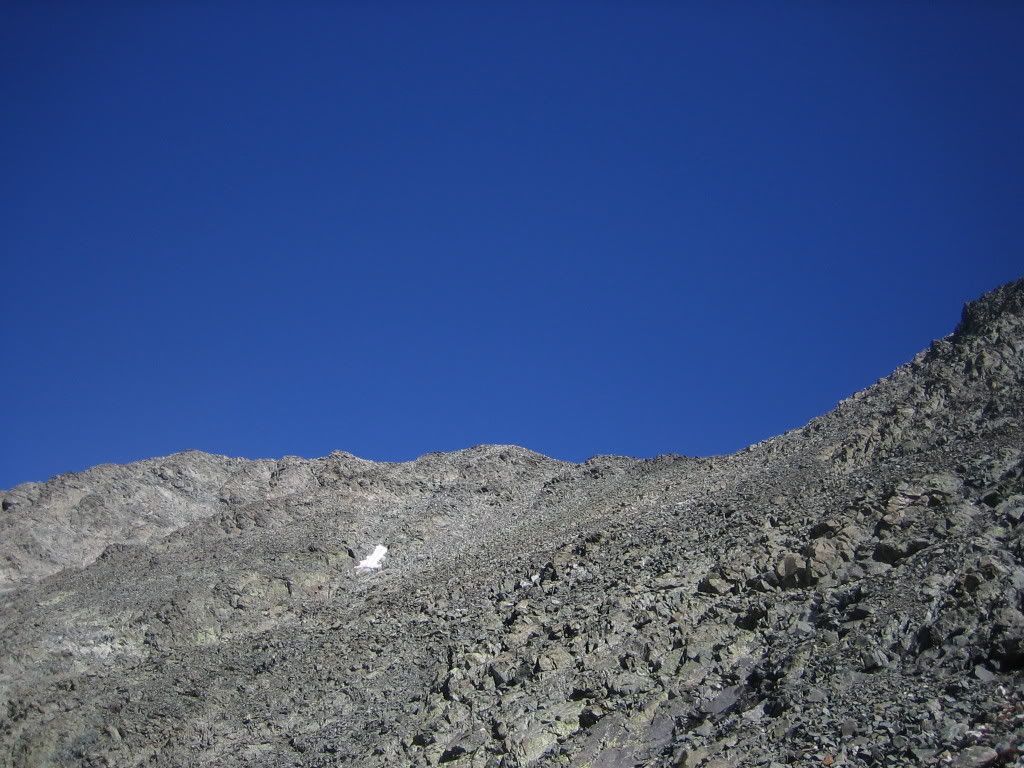
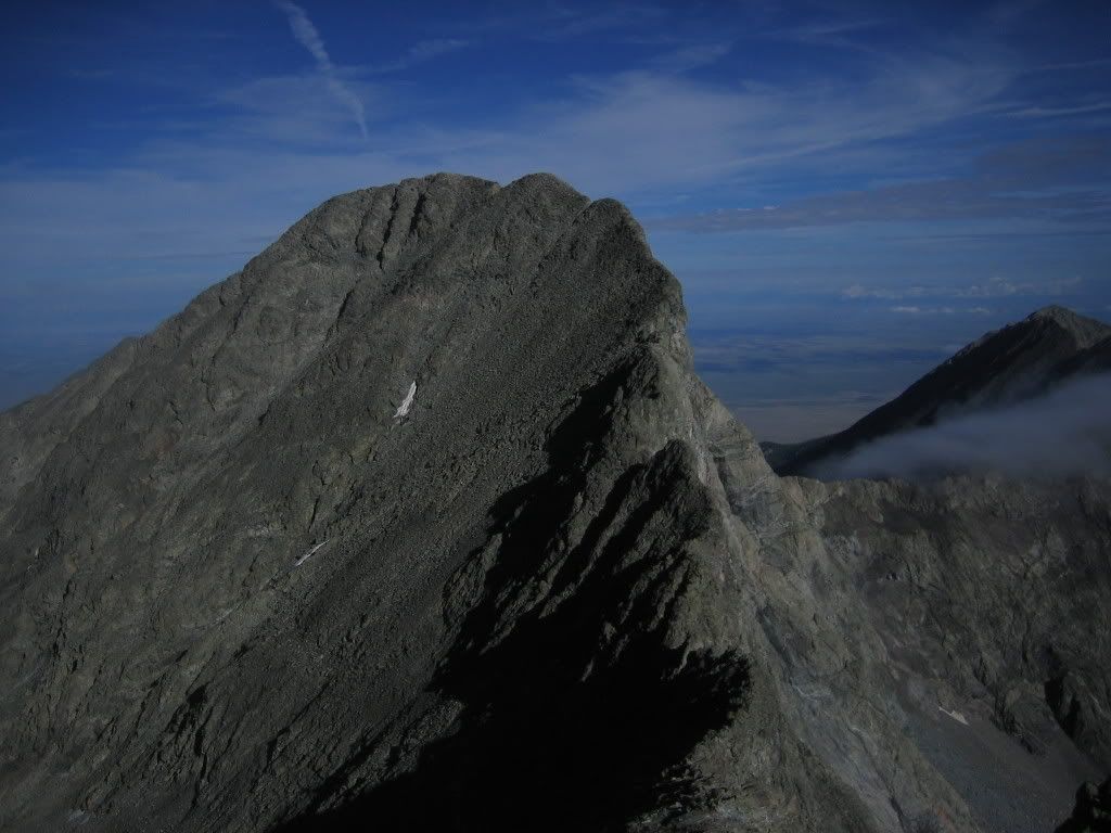
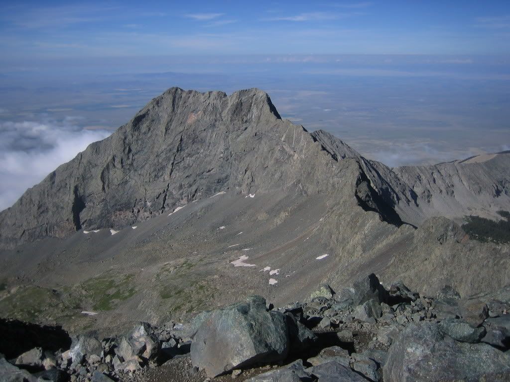
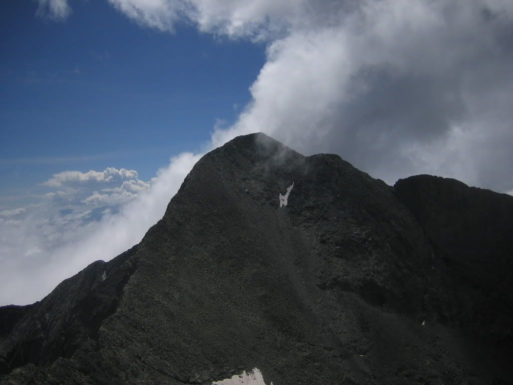
This is what the Ellingwood Point summit looks like from this point.
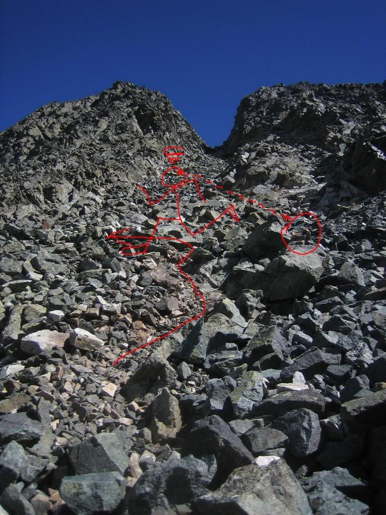
Turn towards the notch and start heading up towards it. Watch for cairns in the area. There is a good system of cairns heading up towards the notch. To keep difficulty at Class 2, follow a ledge system well marked with cairns that abruptly heads left 80-100 vertical feet below the notch. If you don't mind a bit of Class 3 though I believe you could head straight up to the notch and then follow the ridge to the summit. Don't hold this against me though... I didn't get a good look at the difficulties past this notch from the summit. I would appreciate if someone has any information to share in this regard, for future trips.
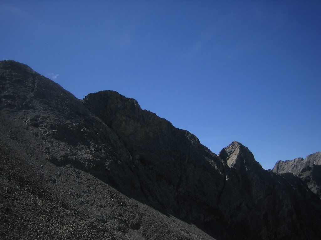
However, since I missed this turn-off during my ascent I headed straight up to where Blanca‘s NW Face route met the ridge (13,800'). From here there is a steep and loose Class 2 trail heading straight for the summit, staying below the ridge crest for most of the way. This is the best picture I have of the ridge with the sun dead ahead (taken from 13,900').
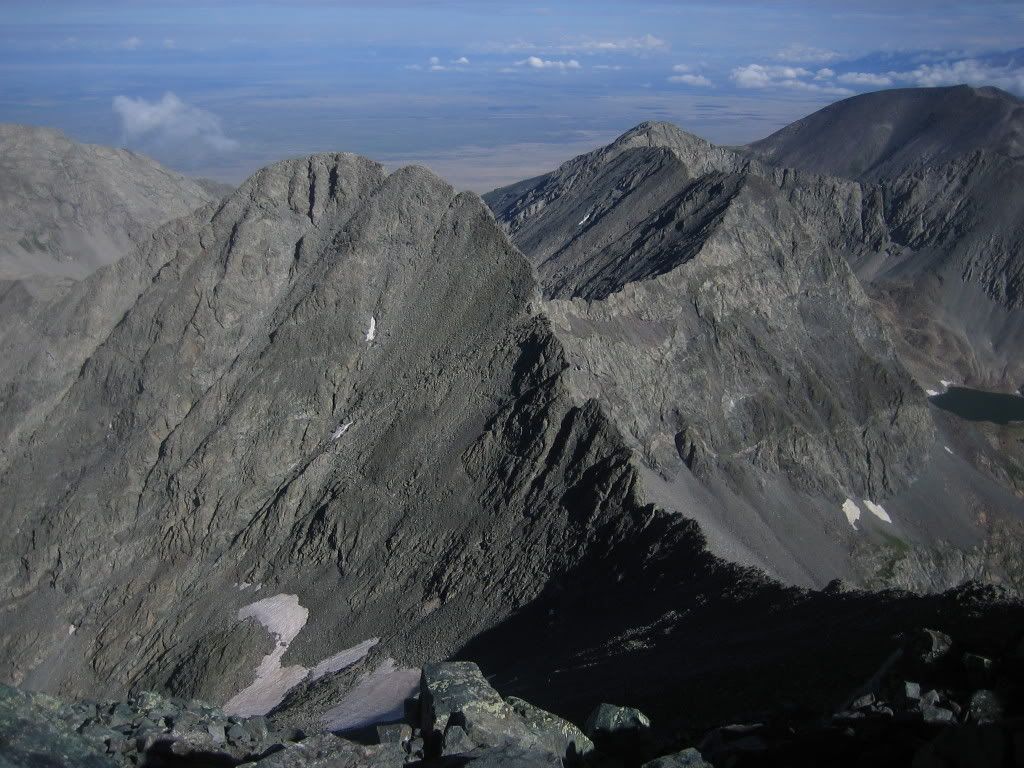
Here's a picture from the same point, of the ridge over to Ellingwood.
I summitted at 9:05AM. The register had been smashed towards whatever end.
Here's another shot of the connecting ridge with Ellingwood
And one of Little Bear...
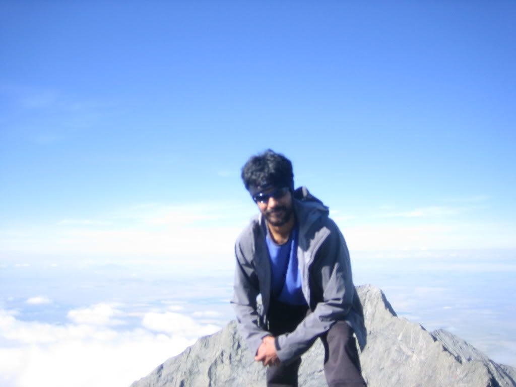
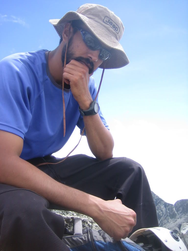
and my mug... obstructing most of Little Bear
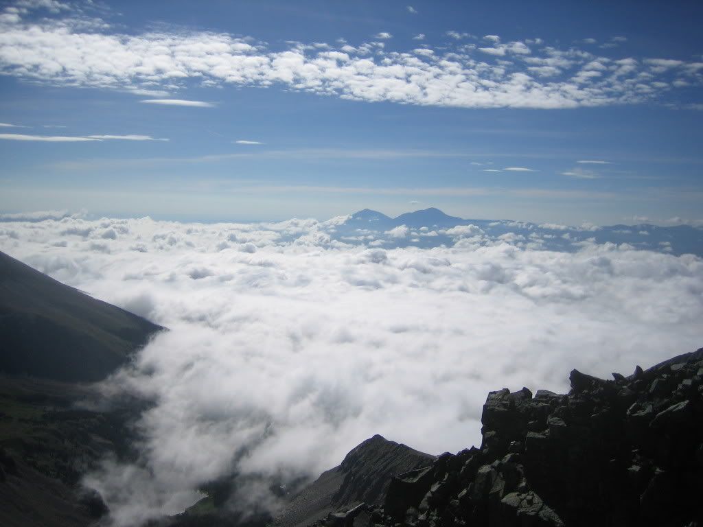
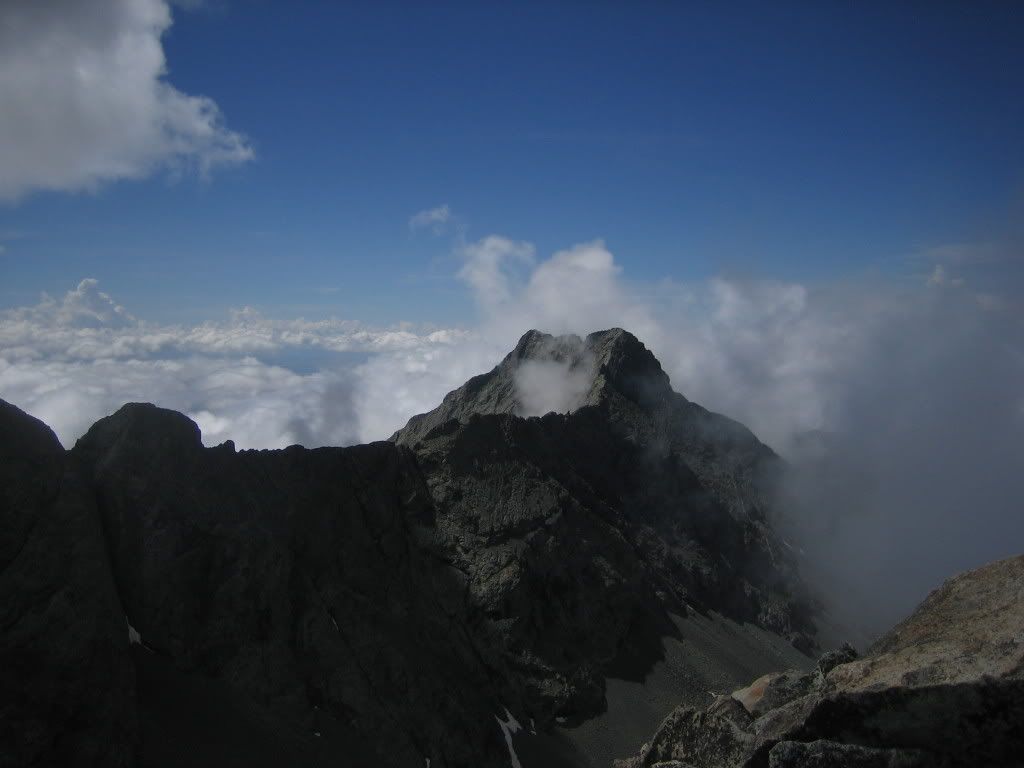
A temperature inversion of some sort occurred, to spectacular effect... It was an extremely beautiful day to be climbing the Blanca group and several people were up there enjoying it.
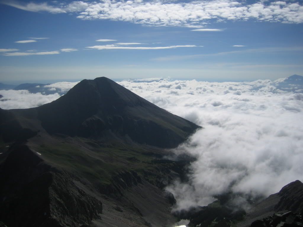
I ate some food, drank more V8 and headed down the ridge towards Ellingwood. My plan was to go all the way down to the turn-off and ascend the Class 2 route. I lost about 1100' descending below the snowfield to the right of this picture.
From this exact spot you will see the notch (as in the first of the two pictures posted earlier in this report). Start heading up to the notch from here towards where the Class 2 trail branches off to the left. Here's what the Ellingwood Point summit ridge looks like from the turn-off to the left (below the notch) that I had described earlier in the report.
And a view of the LB-Blanca ridge from the point
The trail is pretty well cairned from this point on. You might have to stop occasionally and quickly scan the area to find the next cairn. I summitted Ellingwood at 11:15AM. The clouds had just started rising up towards the summits at this point. Here's looking towards Little Bear.
And Blanca
After contemplating the weather situation in such a manner...
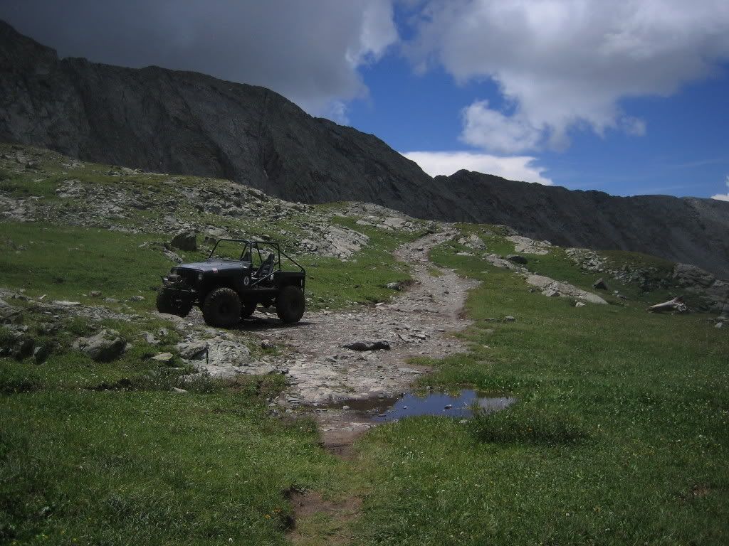
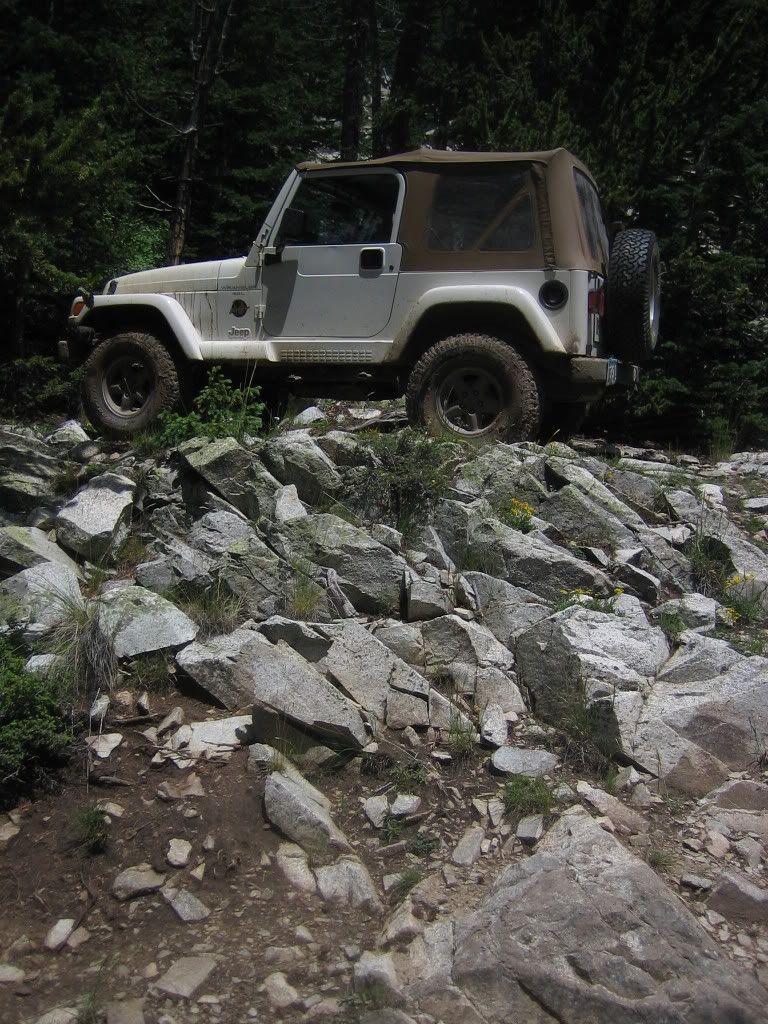
I decided to head down at about 11:40AM. There were several people still making their way up either Blanca or Ellingwood. I stopped to chat with many of them. I love talking to folks on the mountain. I got to the base of the trail and found this heavily beefed Jeep (37"X13.50" Mud Grapplers) at the very end of the road.
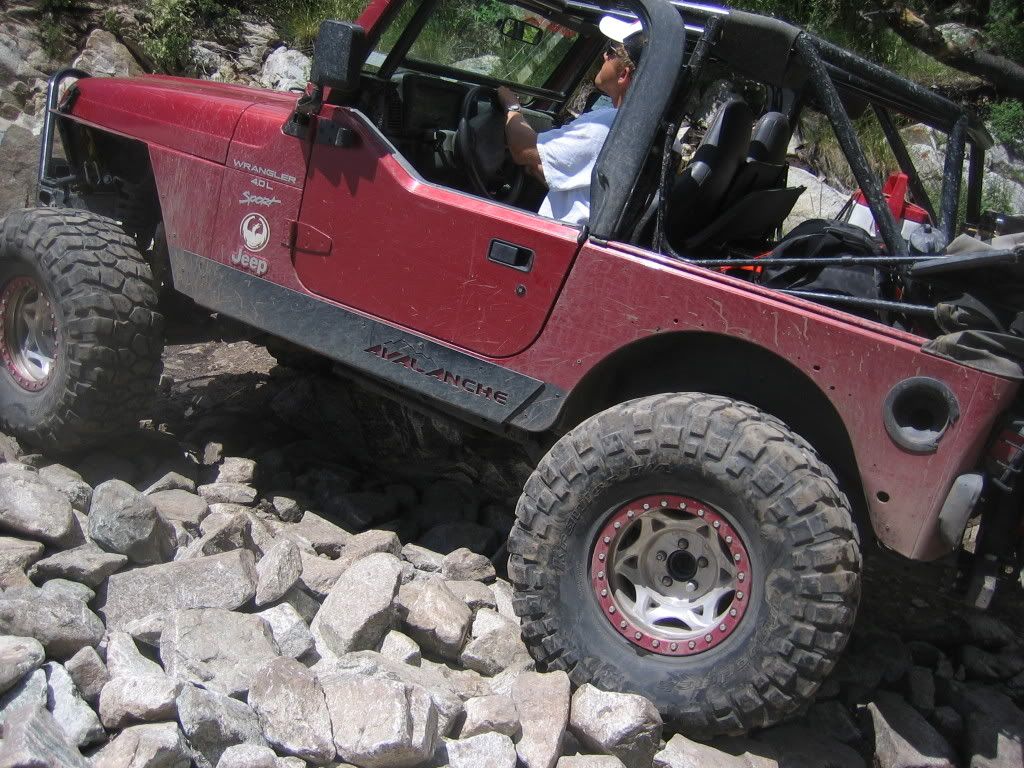
and another very slightly modified Jeep (33" tires) at Lake Como...
But my biggest surprise was this Stock Sahara with 30" tires and Minnesota plates that had made it past Jaws 2 and had stopped at this parking pull-off a few feet before Jaws 3. If I had found the driver I would have requested an autograph.
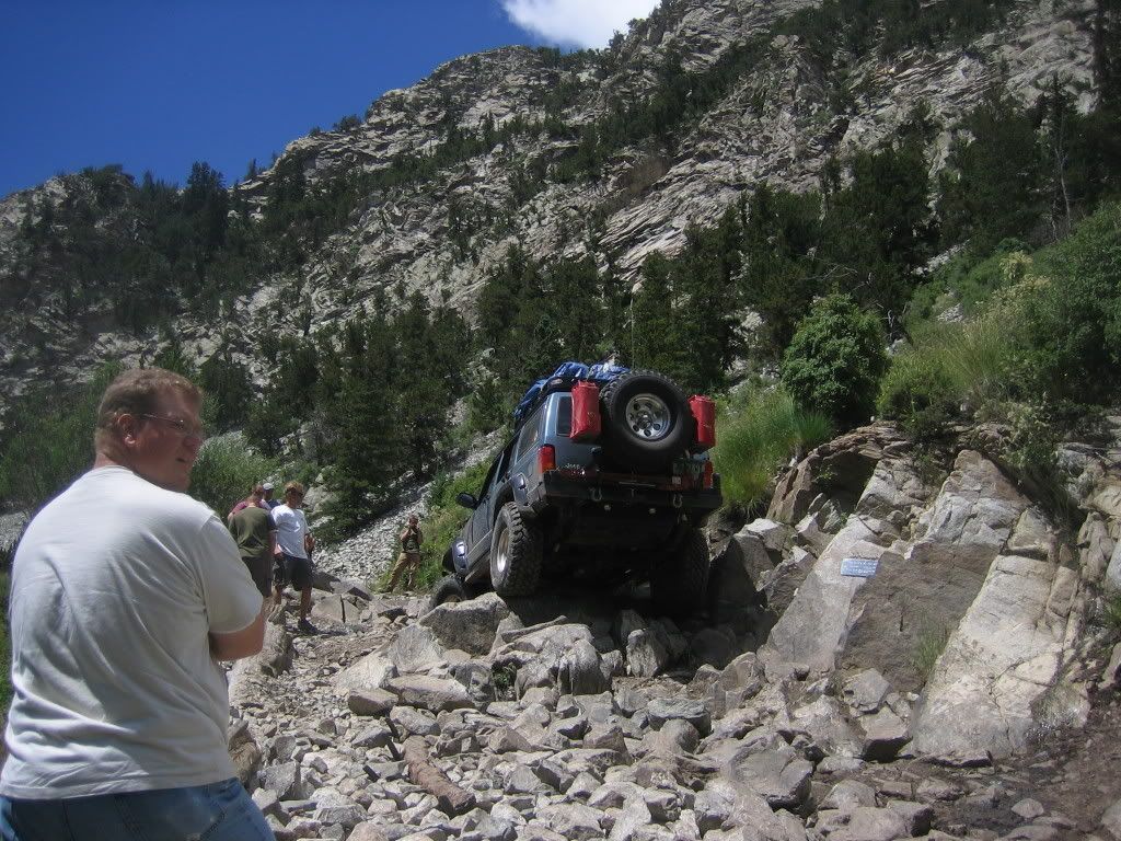
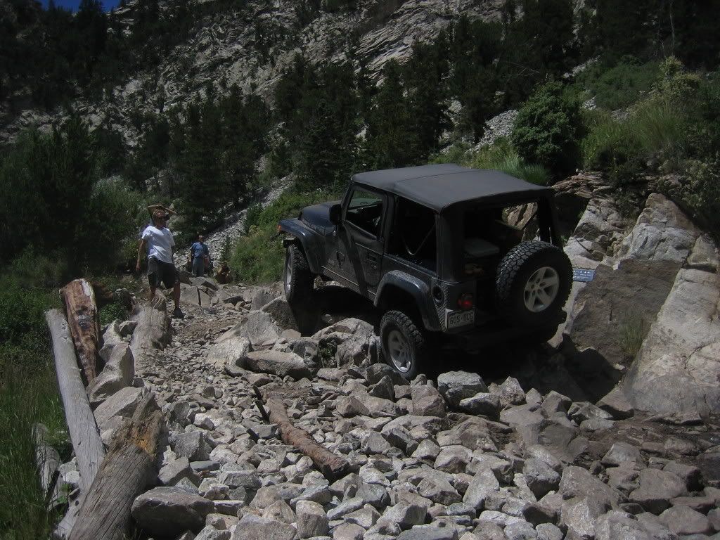
On my way down the road I stopped for 45 minutes by Jaws 2 (the one with the plaque), watching, a 4X4 crew (four Wranglers, one Cherokee Sport, all heavily built) navigate the obstacle.
Here's a video of one of the Wranglers getting across, if you're interested...
http://www.youtube.com/watch?v=7dwmqLfL8sA
I got back down to my own Jeep at around 2:45PM for a round-trip time of 10:45 including all stops. The ride down went smoothly... watching the 4X4 team make it past Jaws 2 had mildly improved my confidence driving down the road. I grabbed a pork chop dinner at Blanca before driving back to Boulder in the midst of crazy thunderstorms, quaffing half a gallon of coke to help stay awake.
Joe: Can't wait to git 'm done... I'm tired... I could use a weekend of drunken revelry but can't afford it... yet.
wascly: Thanks for the comment. Hope the route info was useful.
Mark/Pazoozoo: I've waited a year to witness an inversion... and it didn't disappoint in terms of splendor.
KeithK: Thanks for stopping by to comment again man... I was like a kid in a candy store with all those Jeeps runnin' around. I've a ton more pictures that I haven't posted.
I didn't climb blanca until sunday (fished most of the day saturday)but i did meet the minnesota guys. they were pretty cool, and we gave on of them some leader line for his fly rod.
Congrats on waiting out the weather; it looks like you got a spectacular day out of it! One of these days (...) I'll actually manage to get down there, and your text and pictures will help a lot.
Looks like you got a winner, nice report mang. Your getting close, can you feel it yet
Caution: The information contained in this report may not be accurate and should not be the only resource used in preparation for your climb. Failure to have the necessary experience, physical conditioning, supplies or equipment can result in injury or death. 14ers.com and the author(s) of this report provide no warranties, either express or implied, that the information provided is accurate or reliable. By using the information provided, you agree to indemnify and hold harmless 14ers.com and the report author(s) with respect to any claims and demands against them, including any attorney fees and expenses. Please read the 14ers.com Safety and Disclaimer pages for more information.
Please respect private property: 14ers.com supports the rights of private landowners to determine how and by whom their land will be used. In Colorado, it is your responsibility to determine if land is private and to obtain the appropriate permission before entering the property.