| Peak(s): |
Torreys Peak - 14,272 feet Grays Peak - 14,275 feet |
| Date Posted: | 09/14/2009 |
| Modified: | 09/15/2009 |
| Date Climbed: | 08/01/2009 |
| Author: | FCSquid |
| Peak(s): |
Torreys Peak - 14,272 feet Grays Peak - 14,275 feet |
| Date Posted: | 09/14/2009 |
| Modified: | 09/15/2009 |
| Date Climbed: | 08/01/2009 |
| Author: | FCSquid |
| Snow on Kelso Ridge ... in August?! |
|---|
|
Torreys and Grays via Kelso Ridge Trip Length: 12.1 miles Trip Duration: 9 hrs. 40 min. Elevation Gain: ~5,200 ft. Climbers: Thomas, Jonathan, Mark, myself The CMC convoy met up at 5:30 to head up towards Loveland Pass. By 6:30 we were at the the Bakerville exit and started up the ugly access road to the trailhead proper. As it turns out, we didn't get very far. The first significant obstacle stopped us about 1/2 mile from I-70, at around 9,500 ft. To add insult to injury, a full-size van came blasting by a few moments later, hammering up the road without bottoming out once. Oh well, to the courageous go the spoils. If we were going to hit Kelso Ridge, I had no problem doing a little extra work for it. Only a few minutes into the hike, we got our first solid look at Torreys after the previous evenings rain and snow showers. Everyone did a quick double-take and nearly abondoned the hope of Kelso Ridge once we saw all the snow. 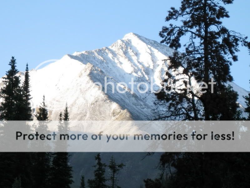 I had to take a quick look at the calendar to see if it really was still August. Oh, I forgot. It's Colorado - conventional wisdom means little above treeline. A little higher up, some of the other front range peaks came into view. Even thought the snow was concerning, the views were spectacular. 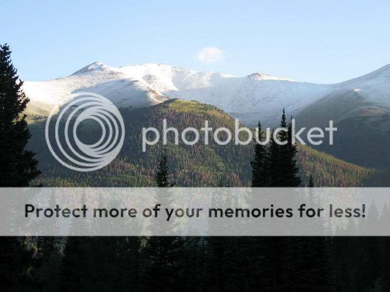 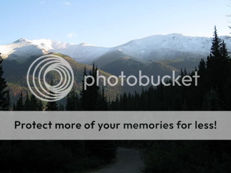 Once above the higher trailhead, the Stevens Gulch amphitheater also looked amazing with a fresh blanket of snow on the upper slopes. 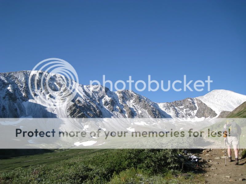 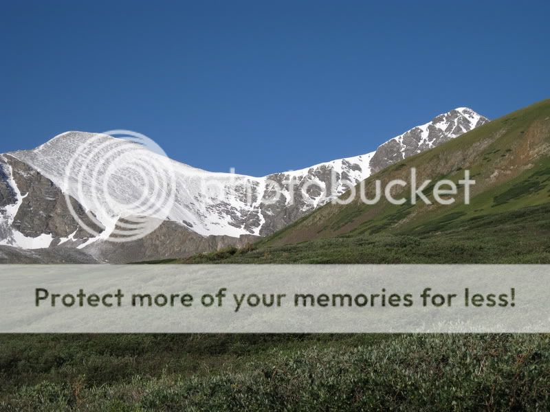 Once turning the corner around Kelso Mountain, the entire Kelso Ridge route and Dead Dog Couloir came into view. Maybe this wouldn't be scratched after all. The southern aspects appeared dry - it might just be a matter of minimizing our time on the northern-facing, snow-covered slopes. 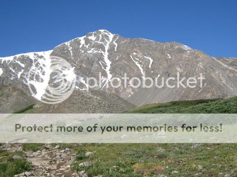 Once at the mine shack (the Torreys / Kelso saddle) the wind started really picking up. Hats, gloves, shells, brain buckets, etc. were donned. Time to press forward. 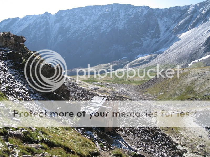 Just after starting up, we ran into our first pair of climbers who'd already seen enough. The wind was whipping and the snow was making the Class 3 bits more challenging than usual. We weren't too worried, however. I had just stayed at a Holiday Inn Express, so I was feeling empowered. 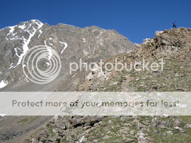 The ridge really is delightful. Short stretches of Class 3 terrain with healthy breaks in between. For each obstacle, there's usually a Class 3 or Class 4 line, but always a bailout route if you're not up for the challenge (the knife edge notwithstanding). 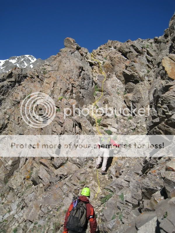 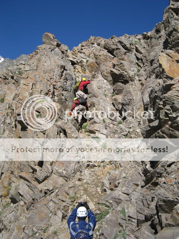 The first Class 3 section shortly after starting - a nice warmup to the scrambling. Jonathan snapping a picture of Thomas (leading) and Mark. 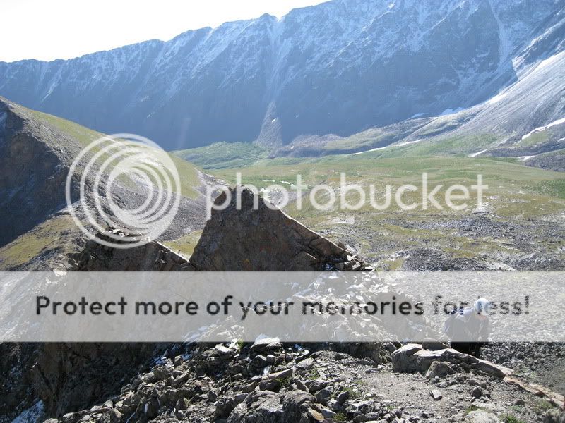 The line of ants can be seen steadily marching up the standard trail. The second significant obstacle also is one that provides a lot of alternatives. The direct line up the narrow gully is probably a legit Class 4 option, though there are two Class 3 lines to the left and another to the right that provide easy alternatives. Thomas (our CMC trip leader) started up the Class 4 gully, but wasn't feeling it. So, he downclimbed and took the first line to the left. I ended up taking the Class 4 gully by myself. After you hoist yourself up past the tight choke, the remainder of the section doesn't exceed Class 3 in difficulty. However, it's also a nice warmup for the exposure you'll need to negotiate higher up on the route. 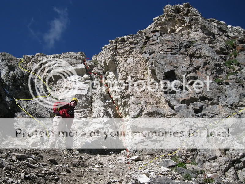 Thomas thinking better of the Class 4 option. Once a little higher on the mountain, the snow finally reared its ugly head. On Kelso Ridge, the easier pitches can usually be found to the right of the ridge crest, however that's where the snow lay on this day. We were taking more difficult and exposed routes to the left, where the rock was dry. If given a choice, I prefer steeper and more exposed climbing to the unpredictability of snowy surfaces. 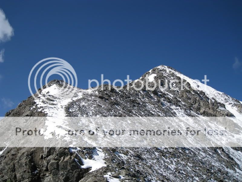 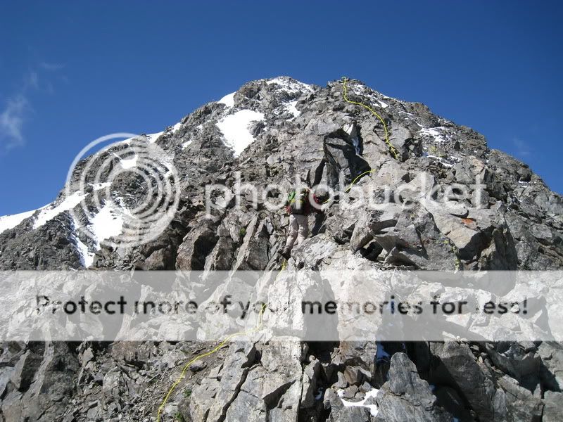 More Class 3 fun. Things were now starting to get 'airy'. There's a mini-knife-edge that Thomas was convinced was the real thing. We argued for a bit about it, and I very nearly finagled a beer out of a 'gentlemen's wager'. Soon enough, we were on top of the knife-edge proper. 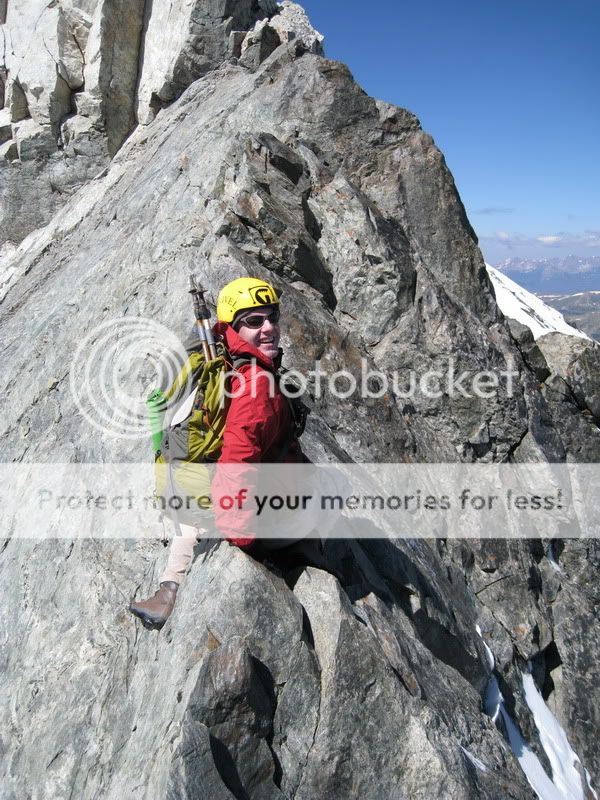 Thomas relishing the exposure ... and the fact that he's not one adult beverage poorer at day's end. The knife-edge was really not terribly difficult, and the butt-scoot method seemed to be the order of the day. If you look closely at the rock when crossing, you'll see all the crampon scrapes from previous climbers - kind of a reminder that this is a place where one needs to pay attention. 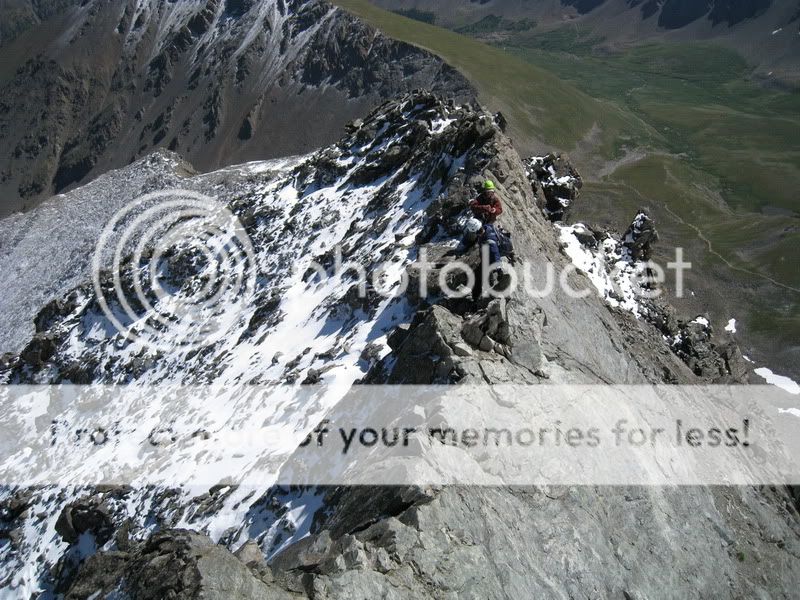 Johnathan and Mark getting ready to take their turn. I personally felt that the spiciest moment of the day came while traversing the white tower after the knife-edge. I chose to skirt around to the north side and then climb up over the top. The snow-covered hand and footholds made dangling off of the side less-than-enjoyable. The snow on the steep northern slopes made falling something I didn't want to dwell on for too long. 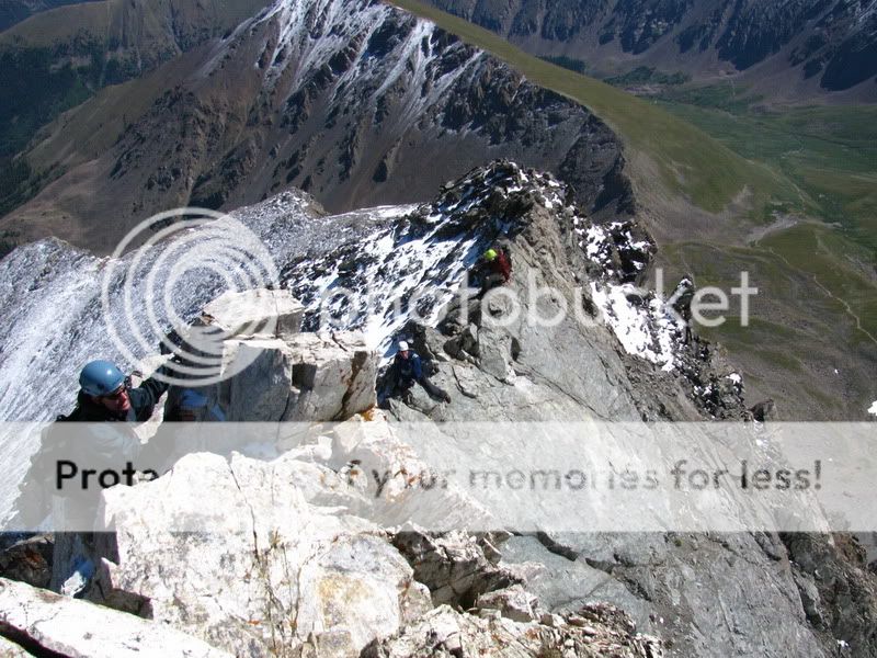 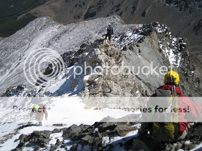 Another look down at the snow covering the white tower. Once past this last obstacle, it was just a short scramble to the summit by 11:20: 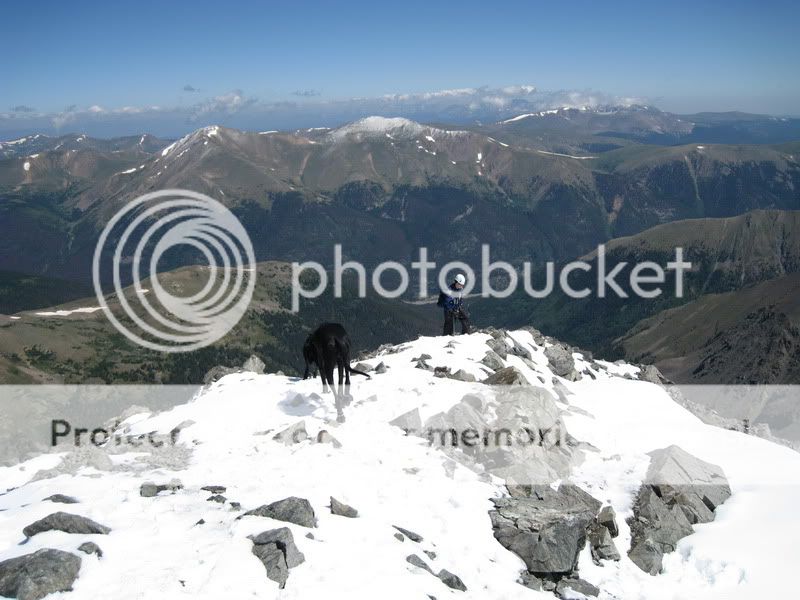 The usual mob-scene awaited us just as you'd expect on a Front Range summit on a Saturday in August. The helmets and axes bought us a few weird looks and comments until folks realized they hadn't seen us all day and we'd come up a much more difficult route than the standard. We lingered for about 20 minutes at the summit as the wind had finally died down, then took a look at the crowds gathering over on the summit of Grays: 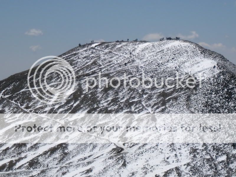 We headed off to Grays and summitted in about 30 minutes, pausing only to take a look back at the only other climbers on Kelso Ridge that day: 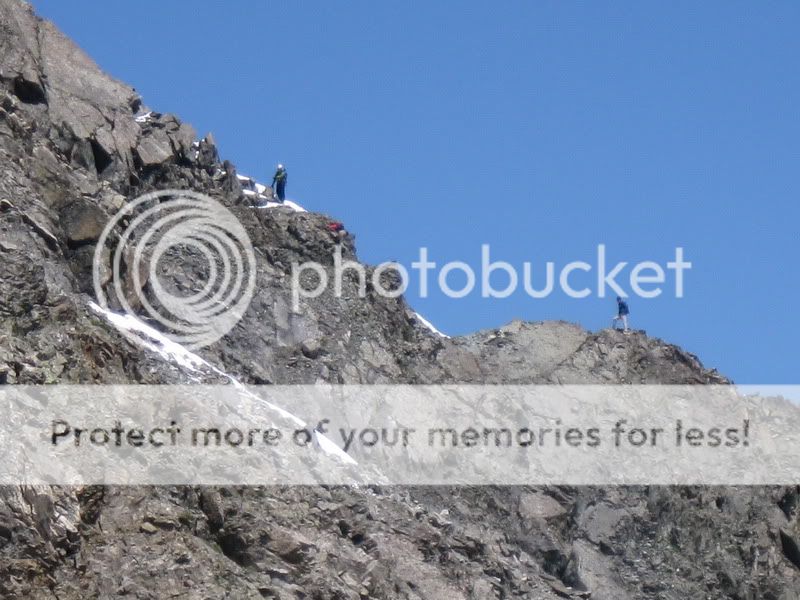 Climbers on the 'mini' knife-edge, about 50 vertical feet before the main one. 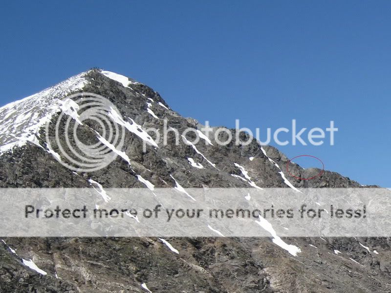 A perspective on the general location of the climbers circled in red The summit of Grays afforded some excellent views of the Front Range: 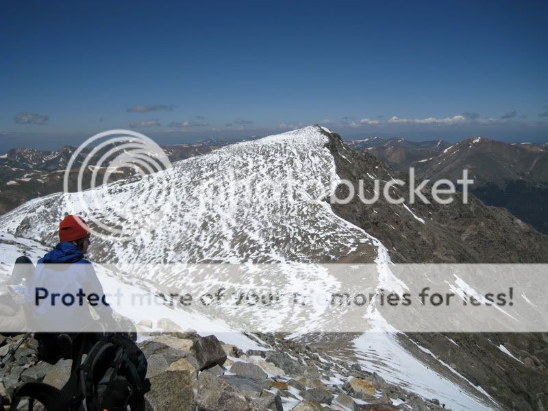 A look back at Torreys 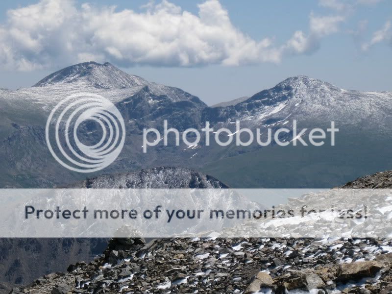 Mt. Evans, The Sawtooth, and Mt. Bierstadt 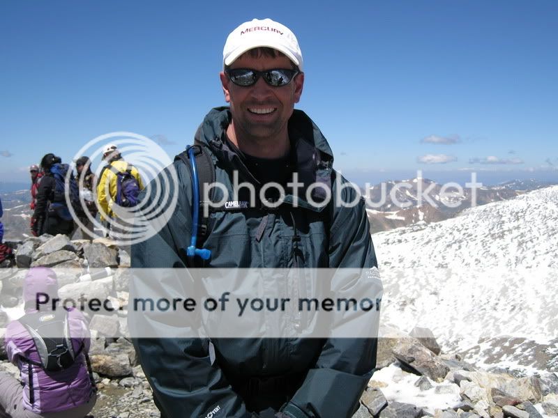 My ugly mug, ruining an otherwise picturesque shot On the way down, the snow had really started melting off, and was nearly all gone by the time we'd come down off Grays: 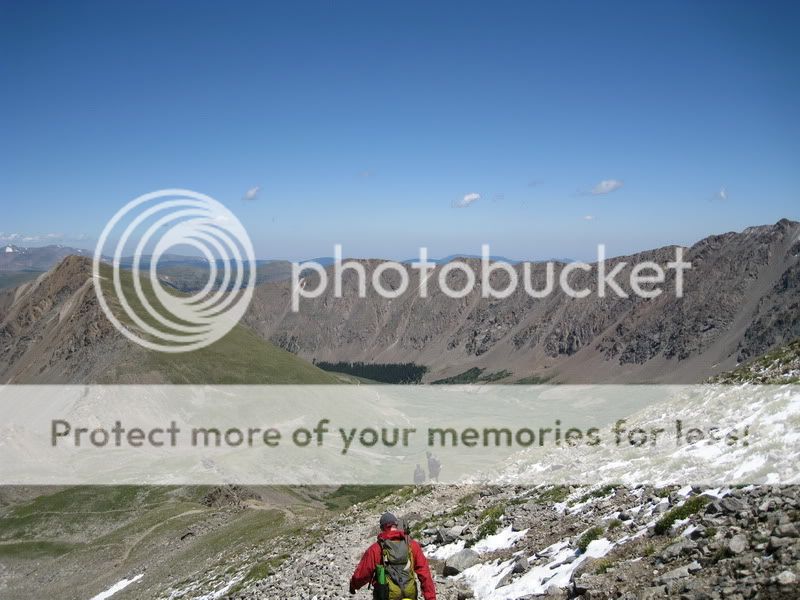 Once back down on the Stevens Gulch road, we took one look back at Torreys to see at how much snow had melted off. What a difference only a few hours makes 6:50 AM: 3:20 PM: 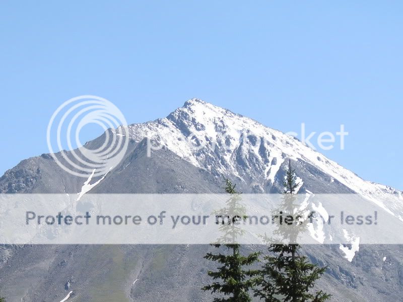 A great hike - 9.5 hrs, plenty of adrenaline, but no nasty surprises. These were my first two 'CMC-led' 14'ers. Thanks for leading the trip, Thomas! 8) |
| Comments or Questions | |||||||||
|---|---|---|---|---|---|---|---|---|---|
|
Caution: The information contained in this report may not be accurate and should not be the only resource used in preparation for your climb. Failure to have the necessary experience, physical conditioning, supplies or equipment can result in injury or death. 14ers.com and the author(s) of this report provide no warranties, either express or implied, that the information provided is accurate or reliable. By using the information provided, you agree to indemnify and hold harmless 14ers.com and the report author(s) with respect to any claims and demands against them, including any attorney fees and expenses. Please read the 14ers.com Safety and Disclaimer pages for more information.


