| Peak(s): |
Atlantic Peak - 13,856 feet Pacific Peak - 13,965 feet Mayflower Hill - 12420 |
| Date Posted: | 09/15/2009 |
| Date Climbed: | 09/13/2009 |
| Author: | Derek |
| Peak(s): |
Atlantic Peak - 13,856 feet Pacific Peak - 13,965 feet Mayflower Hill - 12420 |
| Date Posted: | 09/15/2009 |
| Date Climbed: | 09/13/2009 |
| Author: | Derek |
| Chilly Day on the Oceans |
|---|
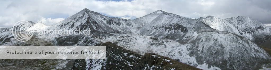 September 13th, 2009 Pacific Peak - 13,950' (Ranked 61st in Colorado) Atlantic Peak - 13,841' (Ranked 87th in Colorado) Mayflower Hill - 12,420' (Unranked) TH: Mayflower Gulch Those in attendance: Derek and Greenhouseguy Distance : Around 6 miles Elevation : Around 3,200' The weather report didn't look too bad. In fact, it looked downright normal for this time of year. However a recent forum thread had me wondering if it would be worth heading to the high country this weekend. After all, I had plenty of lower summits on my to-do list that would offer a greater chance of summit success. Still, my plan all week was focused on getting back up to Mayflower Gulch. The area is one of my favorites and I had not yet made it there this summer. After I received a quick PM from Greenhouseguy stating he was thinking about making an attempt on Atlantic Peak, my decision was quickly made. We met up at 5:00 AM in the T-REX parking lot off I-70 and headed for the gulch. I had not partnered up with Greenhouseguy since our climb up Mt. Lindsey in August, so on the drive we caught up on our last few weeks in the mountains. This made the ride to our destination go by quickly, and by around 6:30 we were parked .25 miles shy of Boston Mine on the 4WD road into Mayflower Gulch.  Pacific (center) and Atlantic Peak (right) from our parking spot with the willows in the foreground. I wasn't completely sure what to expect in terms of conditions when packing, so I brought along heavier boots and extra pants to change into if needed. One look up towards Atlantic from our parking spot and I was glad I had made that decision. There was definitely a lot more white high up than I had expected to see for a "first dusting" in early/mid September. After a quick change of clothes on my part, we were ready to go. Our first mission: The Willows. The willows of Mayflower Gulch are not quite as treacherous as some I've seen, but they are still annoying. Today, we had an advantage over the brawny brush. Thanks to Greenhouseguy's trip up Crystal the week prior, we were able to follow his GPS coordinates and save ourselves much of the "bashing" I usually encounter. Within a few minutes, we had made it past the willows and were working our way up the east side of Pacific Creek. 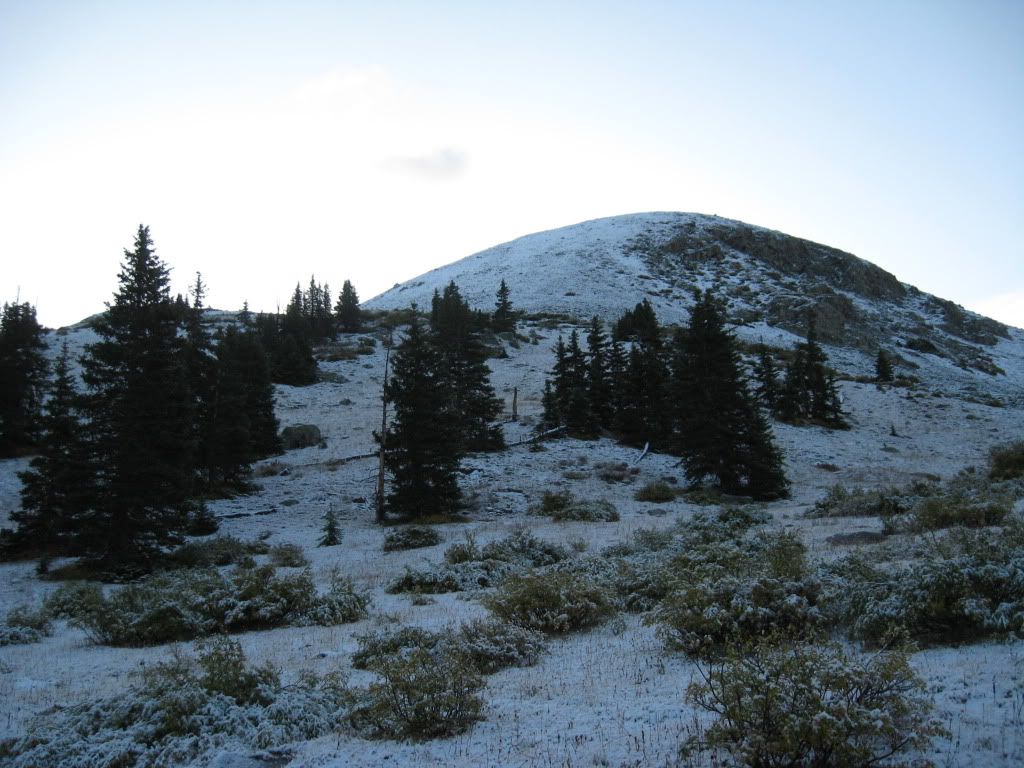 Nearing treeline looking NE towards Atlantic's west ridge. 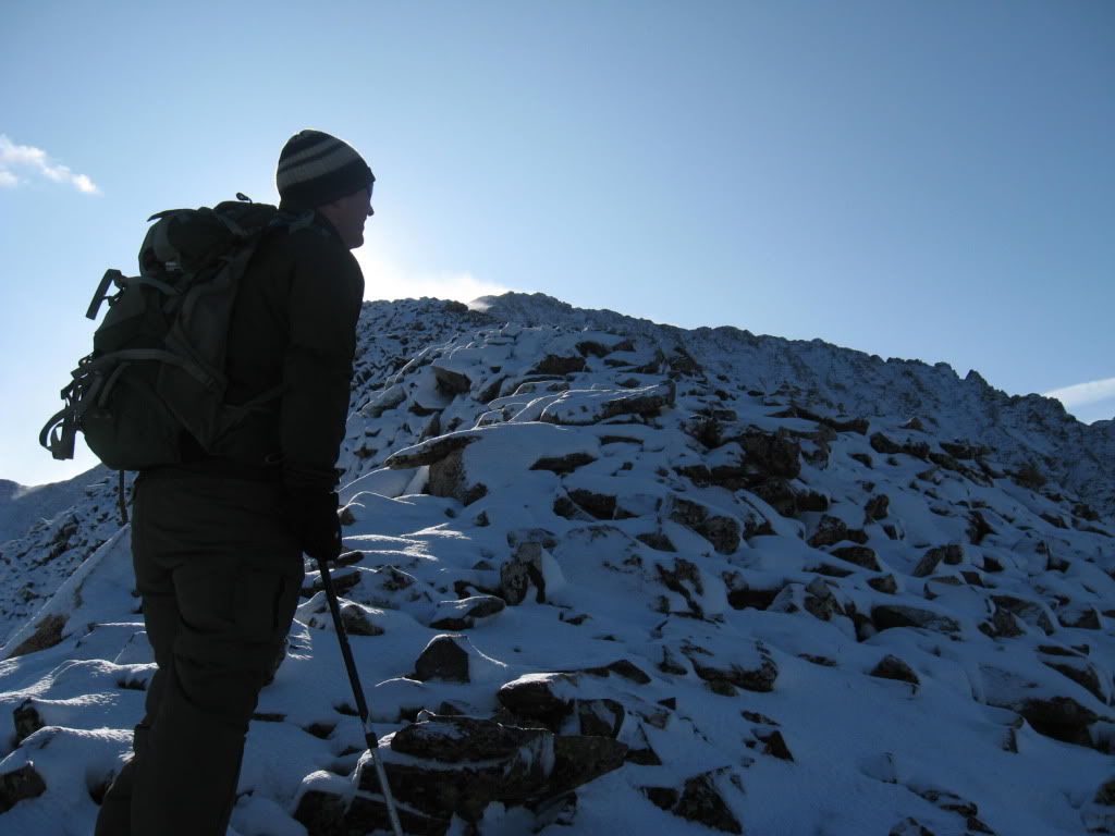 Derek taking a breather while gaining the ridge. (Photo by Greenhouseguy) We were able to follow some faint trails all the way to tree line by hanging close to the east bank of Pacific Creek. Roach's route description for Atlantic from this direction shows the route following Pacific Creek all the way up into the basin in between Pacific and Atlantic Peaks. From there, one is to gain the ridge from the north. After arriving at the west edge of the ridge before entering the basin, we decided it would probably be easier to just go straight up from where we were at instead of circling all the way around. By following the route description we may have avoided some of the loose boulder hopping we encountered, but overall we had very little trouble gaining the ridge from the west. 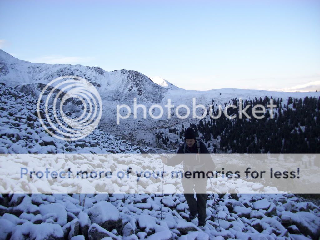 After passing treeline, looking back towards the gulch.  View of Pacific after arriving at the base of Atlantic's West Ridge. Once on the ridge, we were able to see Atlantic Peak almost one mile away. The view of blowing and spinning snow was visible all along the length of the ridge. No question about it, we were going to have a chilly ridge walk. 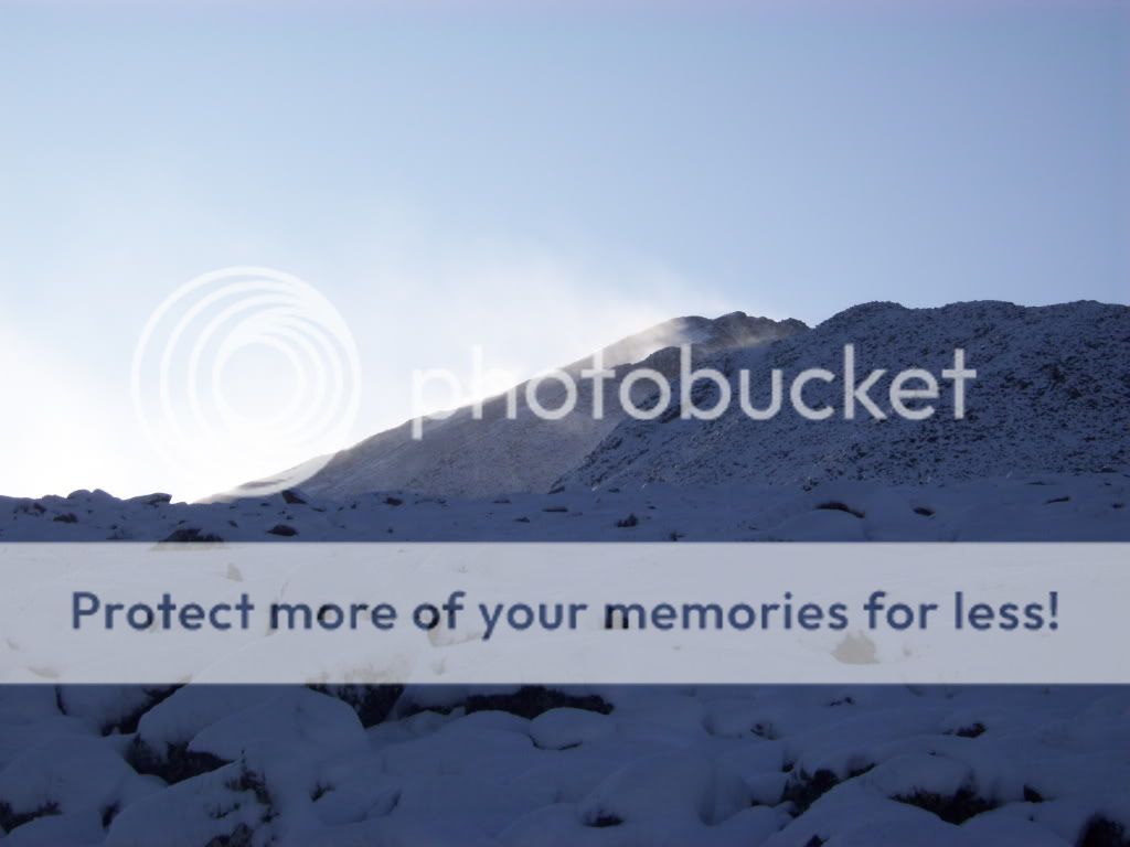 A view of the entire ridge up Atlantic. 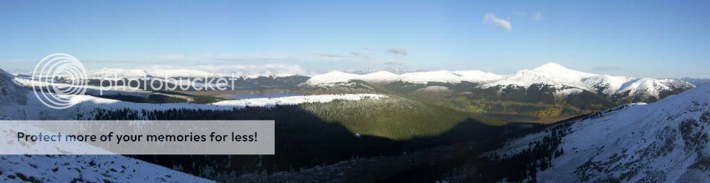 Looking back to the SW from the West Ridge of Atlantic. 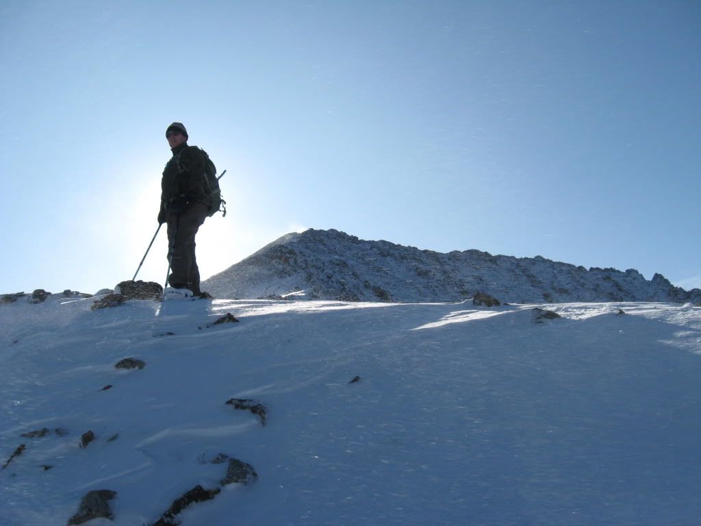 Derek trying out for a new career in the field of "Sun-Blocking". (Photo by Greenhouseguy) 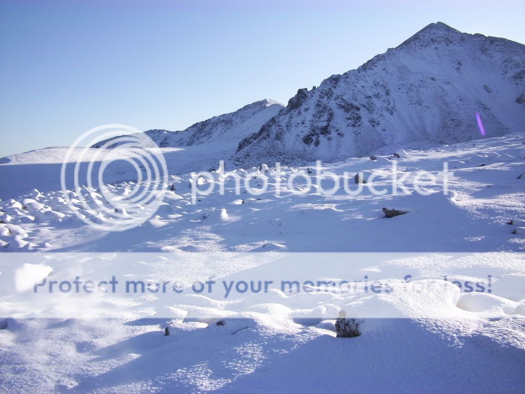 Crystal (center, background) and Pacific (right, foreground) and some fresh September snow. We continued on up the ridge slowly, taking extra care with each step. The new snow covering the rocks obscured our view of good footing, and it wasn't long before both of us began taking turns wiping out due to unseen rocks below the snow. We attempted to stay directly on the ridge for the most part, not because it was necessarily easier, but because we had a hard time determining proper footing on some of the slopes below the ridge. Bit by bit, more and more of the ridge was put behind us and the distant summit was getting closer and closer. We eventually topped out on Atlantic just under 3 hours after leaving Greenhouseguy's vehicle. 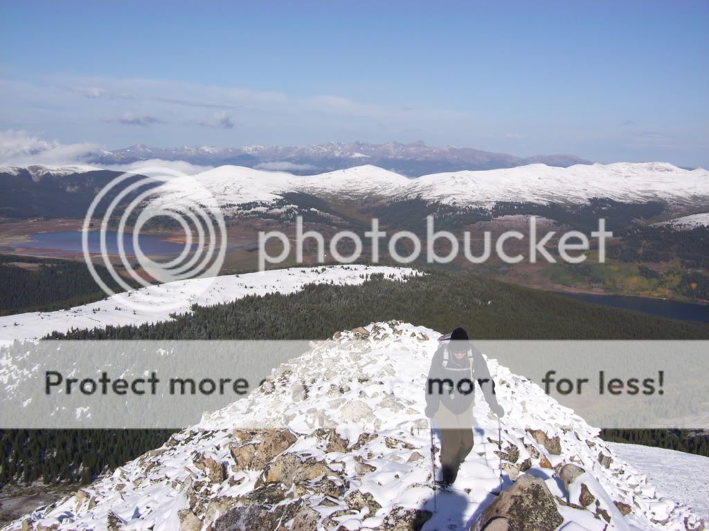 Greenhouseguy working his way up the ridge.  Winds on the ridge. 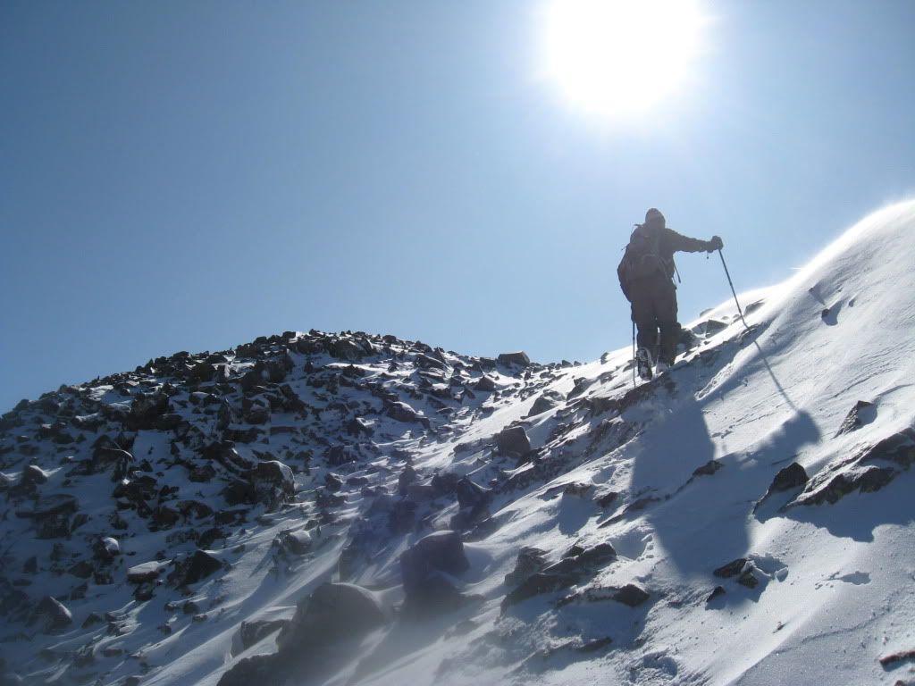 Topping out on Atlantic. (Photo by Greenhouseguy) 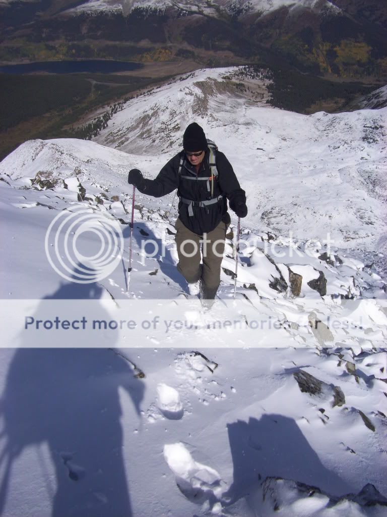 Greenhouseguy nearing the top of the ridge. 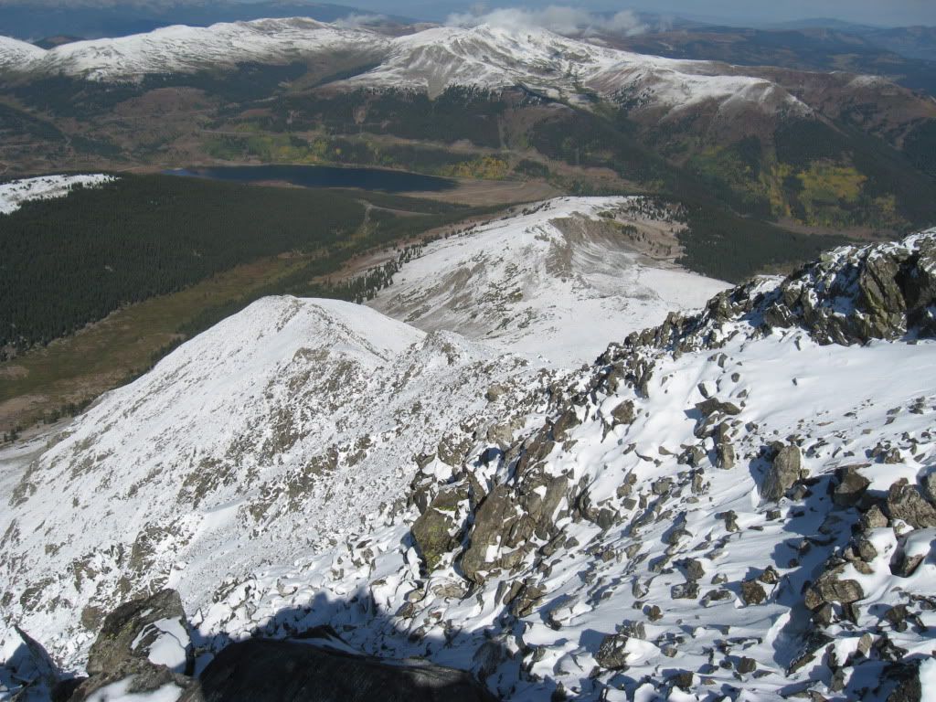 View of the entire West Ridge of Atlantic from the summit. (Photo by Greenhouseguy) We spent a few minutes on the summit taking in the snowy sights of the Ten Mile range. I found it interesting that the range was practically surrounded by snow free mountains, as if all precipitation had been limited to this one area. 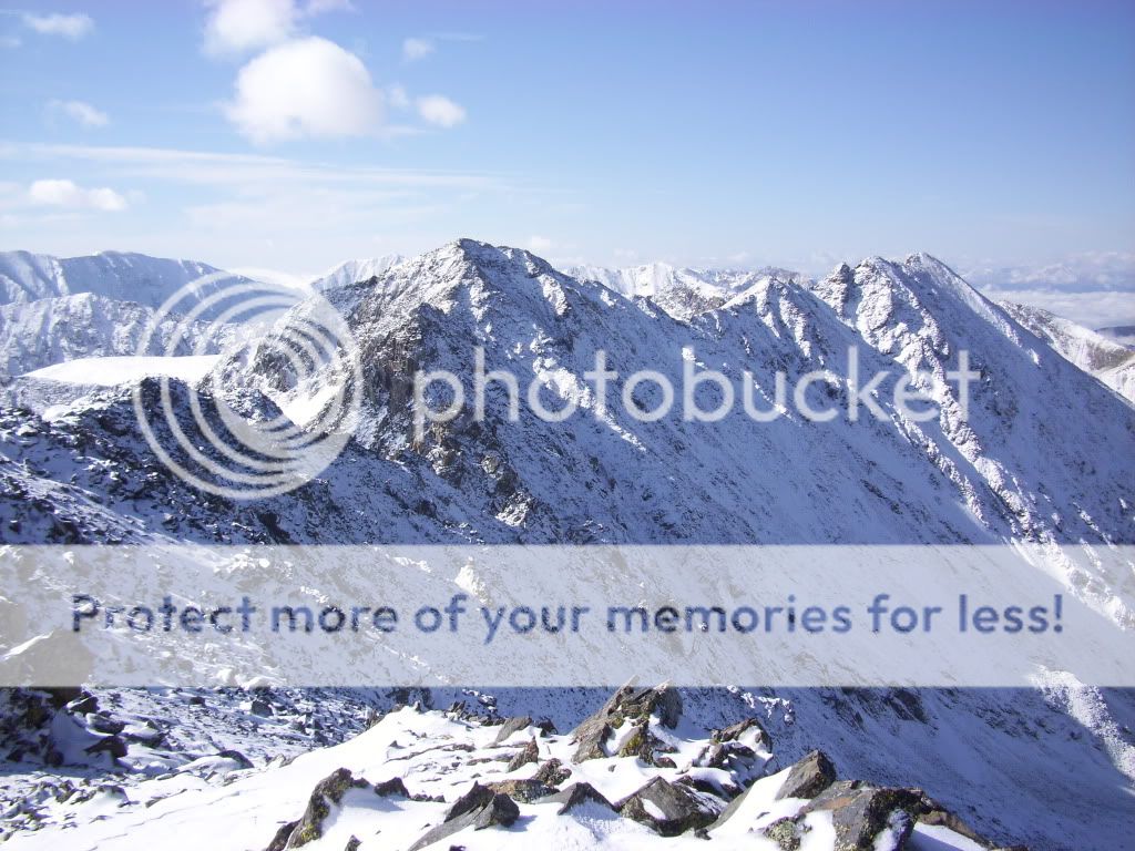 Fletcher and "Drift" from the summit of Atlantic. 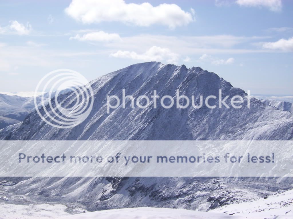 Quandary from the summit of Atlantic. 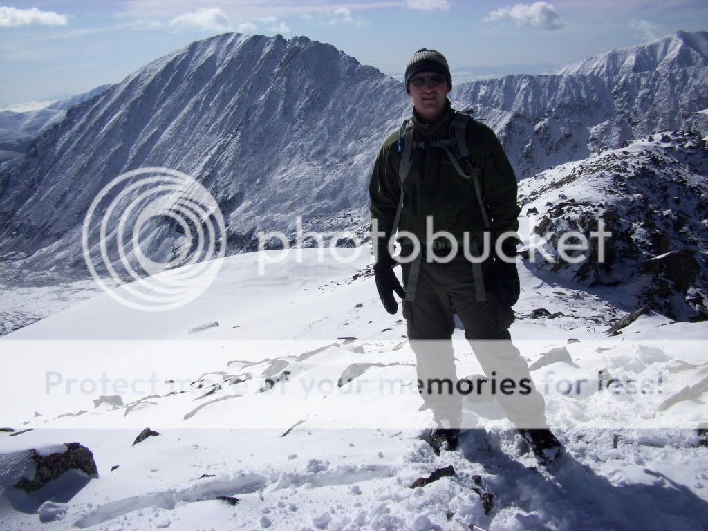 Derek on the summit of Atlantic. I will admit that the short hike up Atlantic had taken more out of me than I had expected. (You would think all that time falling on my butt would have given me time to rest.) However, looking over at the impressive sight of Pacific Peak made a decision for both of us. We quickly agreed to continue on and began descending towards the saddle of Pacific and Atlantic. 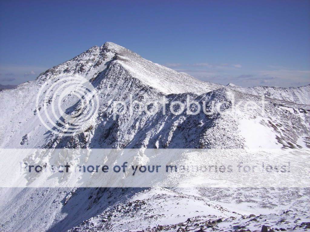 Ridge to Pacific as viewed from just below the summit of Atlantic. The descent from Atlantic took just as much concentration as the ascent. We moved slowly with extra caution, and if there was a trail to follow down, we never located it. Instead, we just hopped from exposed rock to exposed rock, testing each rock to ensure a solid step. 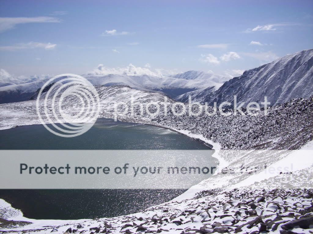 Looking East at Pacific Tarn from the saddle. Around the time that we reached the saddle, I began to notice the weather warming up. It was not yet warm enough to begin melting the snow, but it did allowed my toes the thaw out a bit. Almost immediately after passing above the impressive Pacific Tarn, we began to locate patches of trail leading up the south side of Pacific. Using this trail when we could find it and simply heading straight up when we lost it, we topped out on Pacific in short time. 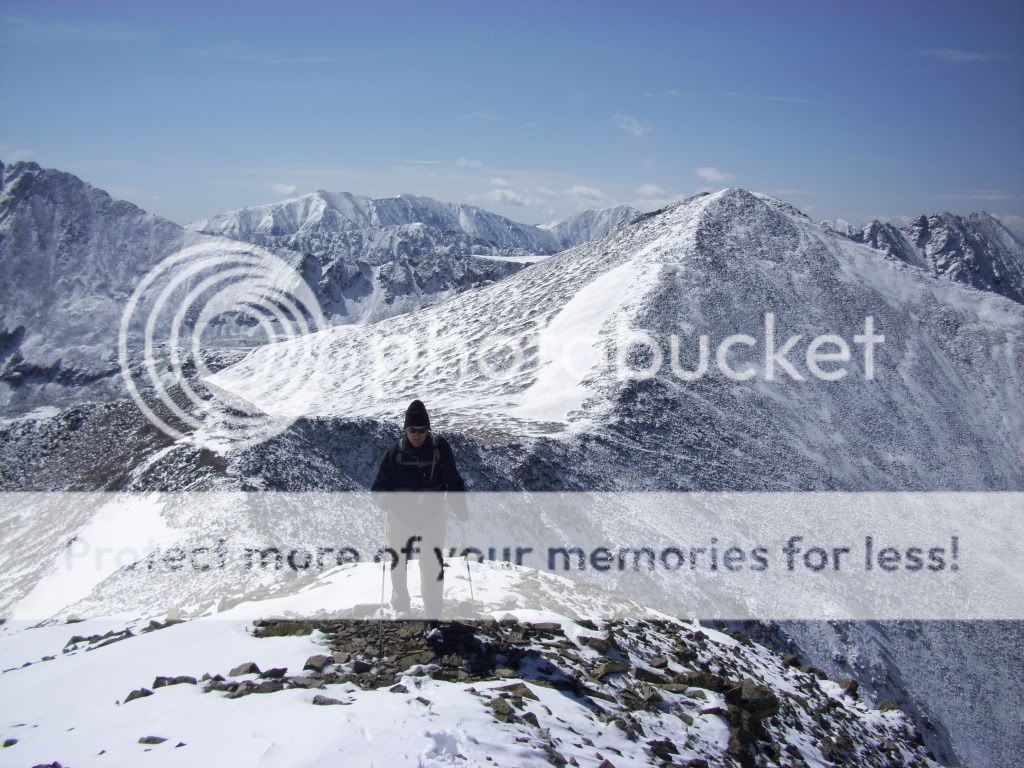 Greenhouseguy topping out on Pacific Peak. 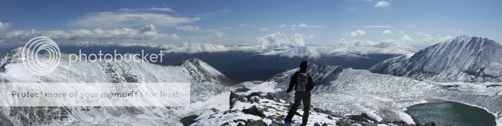 Greenhouseguy taking in the view. 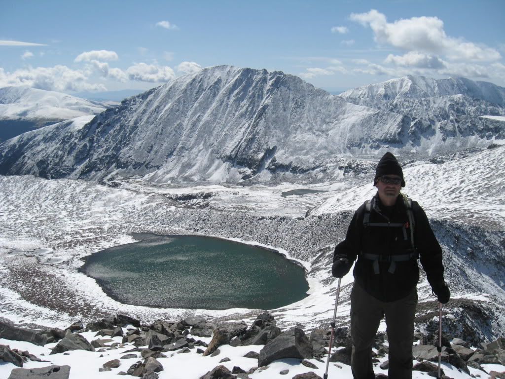 Greenhouseguy on the summit of Pacific with Pacific Tarn and Quandary in the background. As difficult and time consuming as it had been for us to reach the point we were at, we had planned on returning back over Atlantic Peak the same way we came. It was decided that descending Pacific's north side and boulder hopping a mile just to get back to the base of Atlantic's ridge would take more time, so we would just suck it up and take the extra elevation. It was around the time that we made an interesting observation. Looking south at Atlantic, we could see a very distinct trail leading from the Pacific/Atlantic saddle all the way along the side of Atlantic and down into the basin below. The snow had made the trail visible where we never would have noticed it before. We decided to check this trail out once we made it back to the saddle. We headed back down slowly, following our same tracks from the ascent. 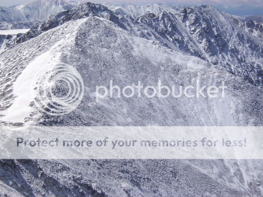 Close view of Atlantic from Pacific, the trail we were aiming for can be seen from the saddle to the lower right of the picture. We found the start of the "new" trail quickly upon reaching the saddle. Though covered in snow almost up to my knees in some parts due to drifting, the trail was very clearly defined even without the use of occasional cairns we found. We continued downward toward the basin, both of us wiping out a few times from the snow. The snow was getting sticky from being later in the day, and each step seemed to create a batch of rolling snowballs running down the mountain. 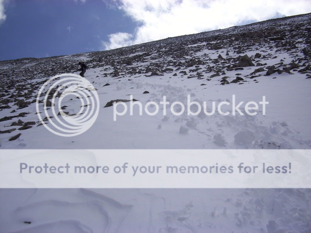 Looking back up towards the saddle from the descent.  Working our way down the north side of Atlantic. (Photo by Greenhouseguy) 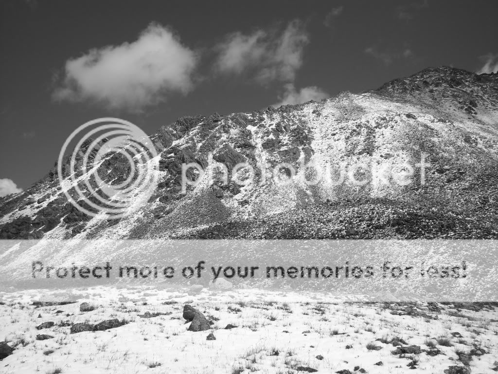 West Ridge of Pacific. We reached the Pacific Creek basin in good time. The clouds were beginning to move in, however with no indications of storm activity and only a couple drops of precipitation, we decided to try and grab the summit of unranked 12er Mayflower Hill on the way out. We worked our way through the basin in a direct line with Mayflower Hill while attempting to lose as little elevation as possible. Sometimes an unranked peak can lead to some unexpected fun and Mayflower Hill was no exception. Upon arriving at the base of the mountain's east slope, I decided to drop my poles and try to stay directly on the ridge. This enabled me to find a couple brief class three portions to add a little "spice". After arriving at the summit, we were awarded with a great view of the two centennial 13ers we had just climbed. 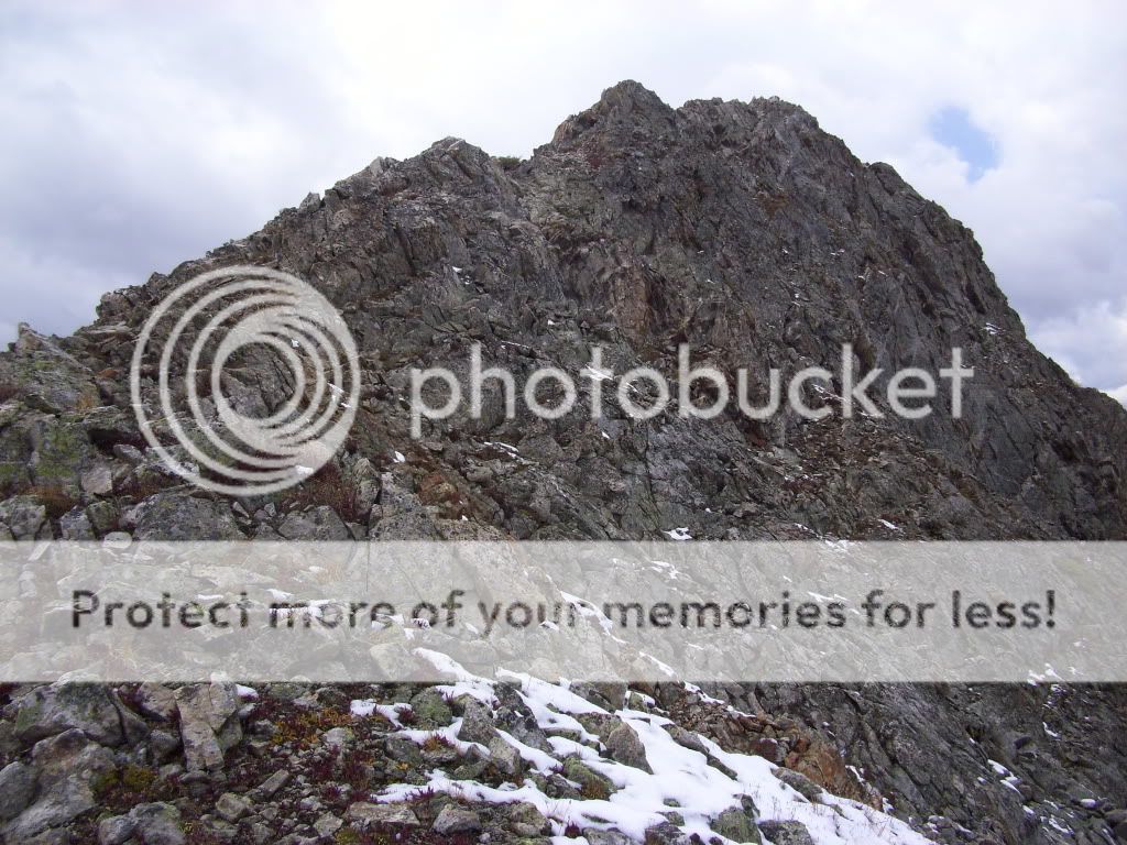 Beginning of the ridge leading up to Mayflower Hill's summit. 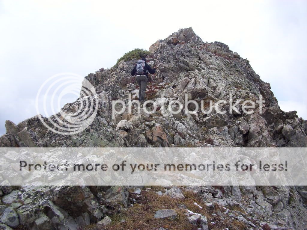 Greenhouseguy working his way up Mayflower Hill. 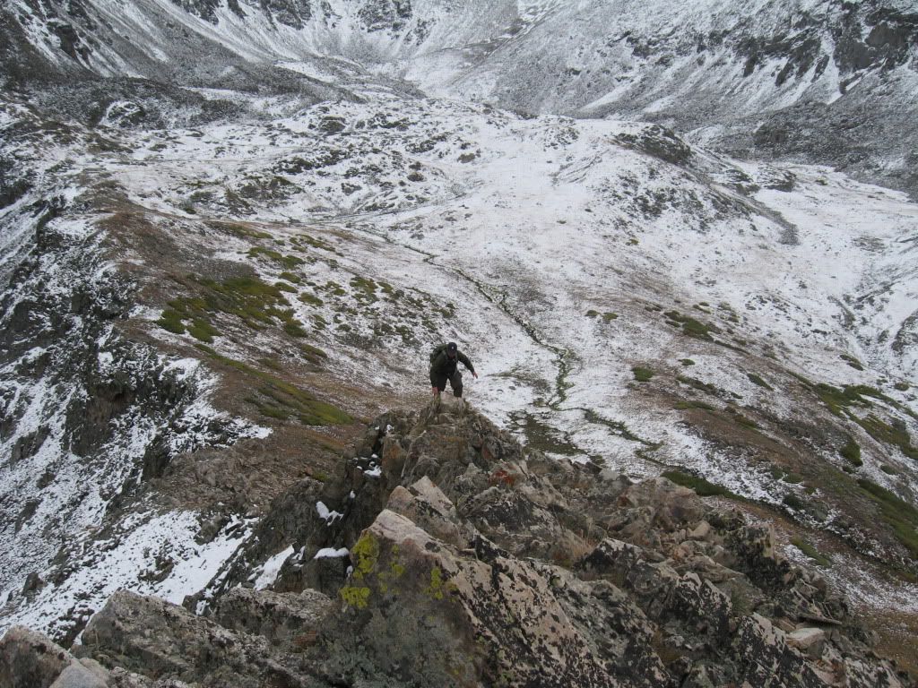 Derek having fun on Mayflower Hill. (Photo by Greenhouseguy) 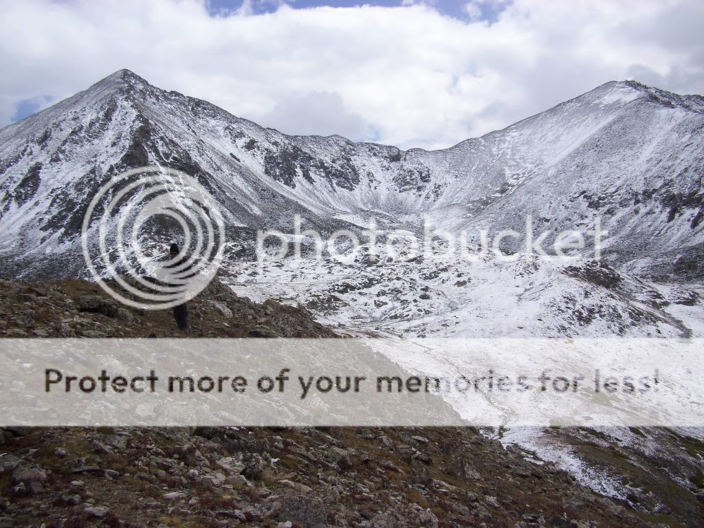 Looking back towards Pacific and Atlantic from near the summit of Mayflower Hill. 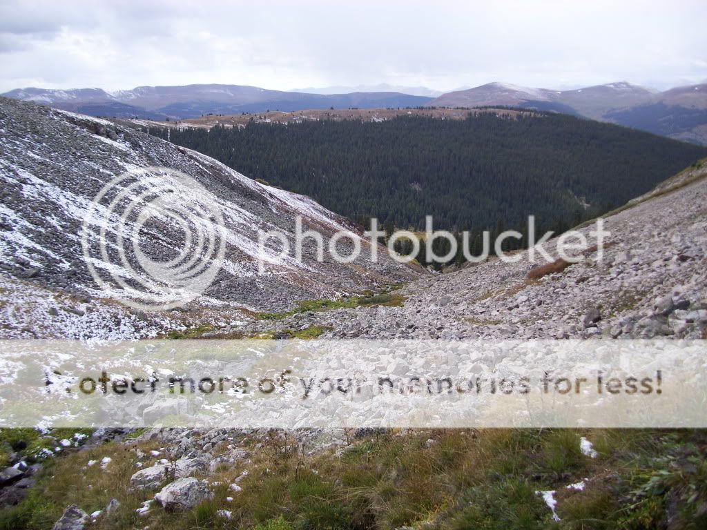 Mayflower Gulch from the descent of Mayflower Hill. We descended SE from the summit, attempting the intercept the main trail that followed Pacific Creek out of the basin. We found the trail without much trouble, and it was nice to follow a defined trail for the first time all day. We picked up the pace down into the trees of Mayflower Gulch hoping to reach our starting point before any rain decided to move in. Following Greenhouseguy's GPS, the willows were again defeated in timely fashion with even less bashing than we had in the morning. 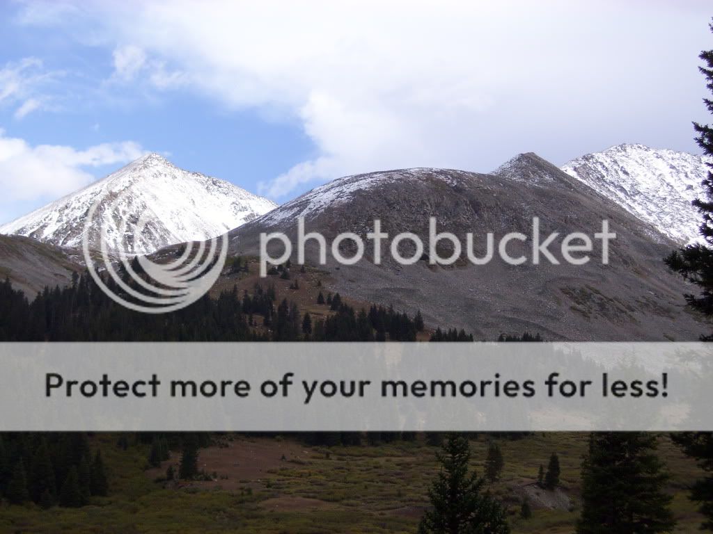 Final view of a much more "dry" Pacific and Atlantic Peaks. 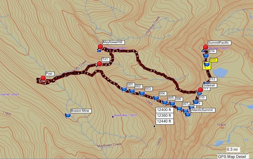 GPS track of our complete route. (Courtesy of Greenhouseguy) We popped out onto the 4WD road a couple hundred feet east of the Jeep, and encountered some hikers coming back from the Boston Mine. These were the first people we had seen all day. The morning weather was less than ideal, and the snow made for some tricky rock hopping. (Tricky enough that both Greenhouseguy and myself will probably need to replace our trekking poles.) Despite this, it ended up being a fantastic hike and a satisfying day in the mountains. Cheers, --Derek |
| Comments or Questions | ||||||||||||
|---|---|---|---|---|---|---|---|---|---|---|---|---|
|
Caution: The information contained in this report may not be accurate and should not be the only resource used in preparation for your climb. Failure to have the necessary experience, physical conditioning, supplies or equipment can result in injury or death. 14ers.com and the author(s) of this report provide no warranties, either express or implied, that the information provided is accurate or reliable. By using the information provided, you agree to indemnify and hold harmless 14ers.com and the report author(s) with respect to any claims and demands against them, including any attorney fees and expenses. Please read the 14ers.com Safety and Disclaimer pages for more information.


