Download Agreement, Release, and Acknowledgement of Risk:
You (the person requesting this file download) fully understand mountain climbing ("Activity") involves risks and dangers of serious bodily injury, including permanent disability, paralysis, and death ("Risks") and you fully accept and assume all such risks and all responsibility for losses, costs, and damages you incur as a result of your participation in this Activity.
You acknowledge that information in the file you have chosen to download may not be accurate and may contain errors. You agree to assume all risks when using this information and agree to release and discharge 14ers.com, 14ers Inc. and the author(s) of such information (collectively, the "Released Parties").
You hereby discharge the Released Parties from all damages, actions, claims and liabilities of any nature, specifically including, but not limited to, damages, actions, claims and liabilities arising from or related to the negligence of the Released Parties. You further agree to indemnify, hold harmless and defend 14ers.com, 14ers Inc. and each of the other Released Parties from and against any loss, damage, liability and expense, including costs and attorney fees, incurred by 14ers.com, 14ers Inc. or any of the other Released Parties as a result of you using information provided on the 14ers.com or 14ers Inc. websites.
You have read this agreement, fully understand its terms and intend it to be a complete and unconditional release of all liability to the greatest extent allowed by law and agree that if any portion of this agreement is held to be invalid the balance, notwithstanding, shall continue in full force and effect.
By clicking "OK" you agree to these terms. If you DO NOT agree, click "Cancel"...
Day 8 - Peters group - Peters, UN 13,222A, P3, P2, P1 (unranked)
3,000 ft ascent, 7 miles, 12 hours
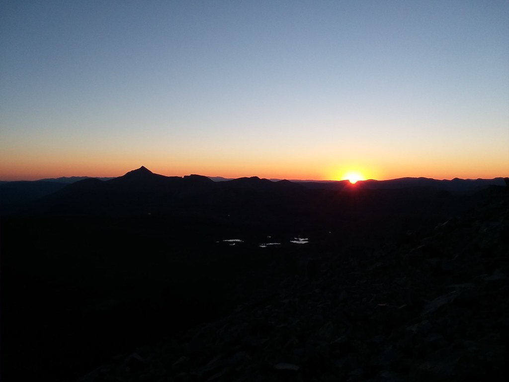
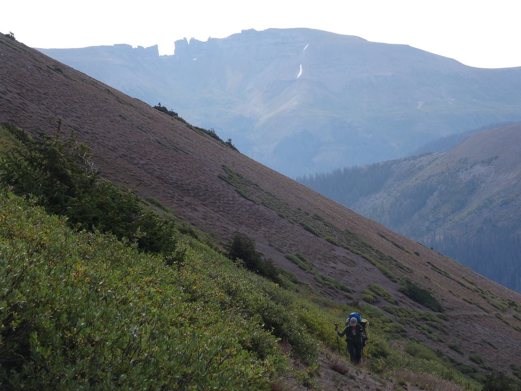
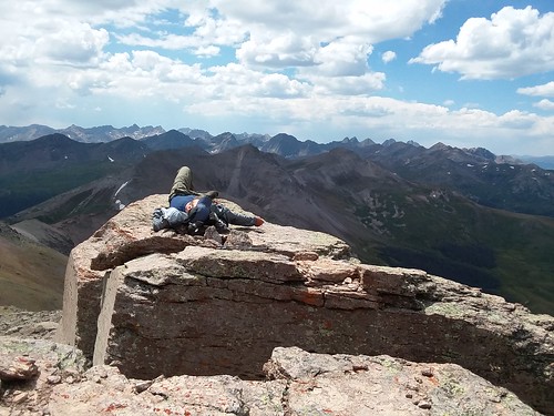
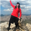
Alarm went off a 4 am. That day Shawn and I decided to be like serious peakbaggers and get an early start. I checked the forecast the day before on one of the summits and it was really good - a 30% chance of rain after 3 pm. Time to get ready for our biggest day of the trip. We ate breakfast and set out at 5.08 am, still in the dark. We didn't have any trouble route-finding to the lake and then hiked up the grassy gully, which eventually transitioned to talus. We reached the Peters-Buffalo saddle just as the sky started to lighten up. We took a few minutes to delayer, stash poles on the packs and we were off. The class 2/3 north ridge of Peters went fairly quickly and we reached the summit at 6.40 am, just a few minutes past the sunrise.
Here comes the sun
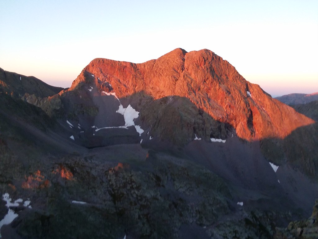
Alpenglow on Oso
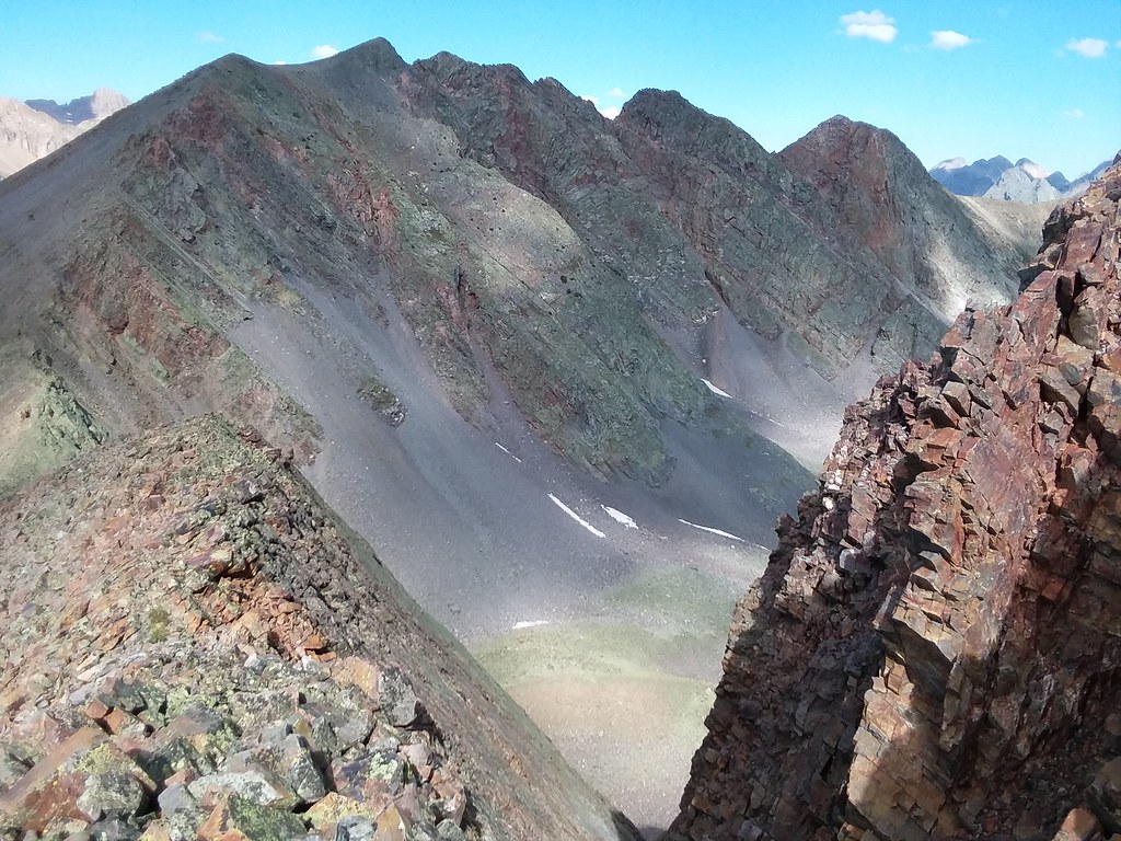
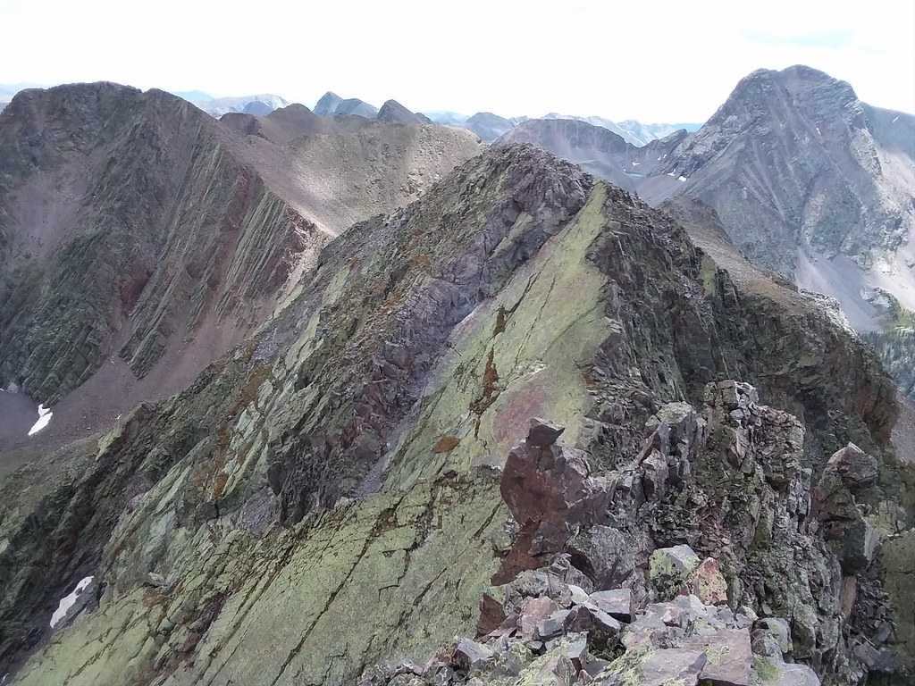
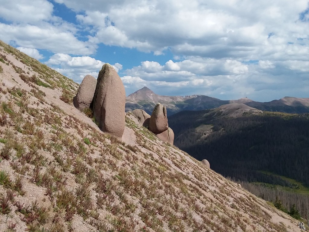
I don't have many (if any) sunrise summits to my name, neither does Shawn, so we took it all in. After all the oooohs and ahhhhs we took the ridge down towards Pt 13, 222 A. We had hopes staying on the ridge proper, but the upper ridge looked increasingly difficult, so we took the same rocky gully on the left mentioned in Derek's report. In fact it presented some enjoyable Class 3 scrambling.
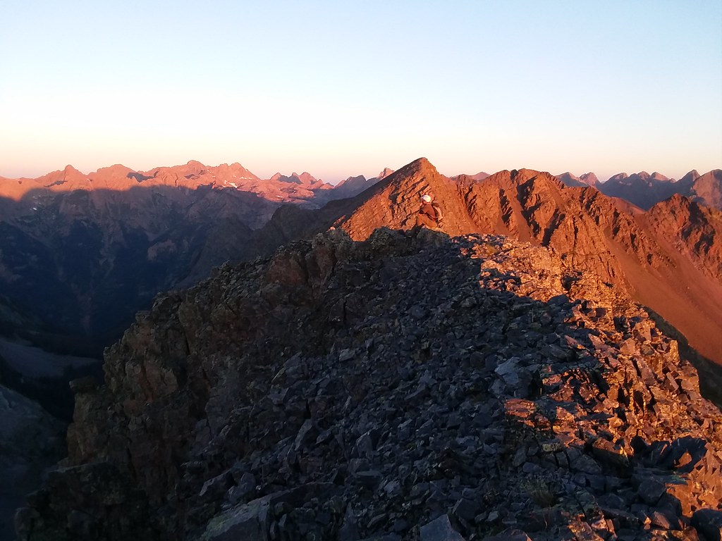
Shawn scrambles with Oso behind
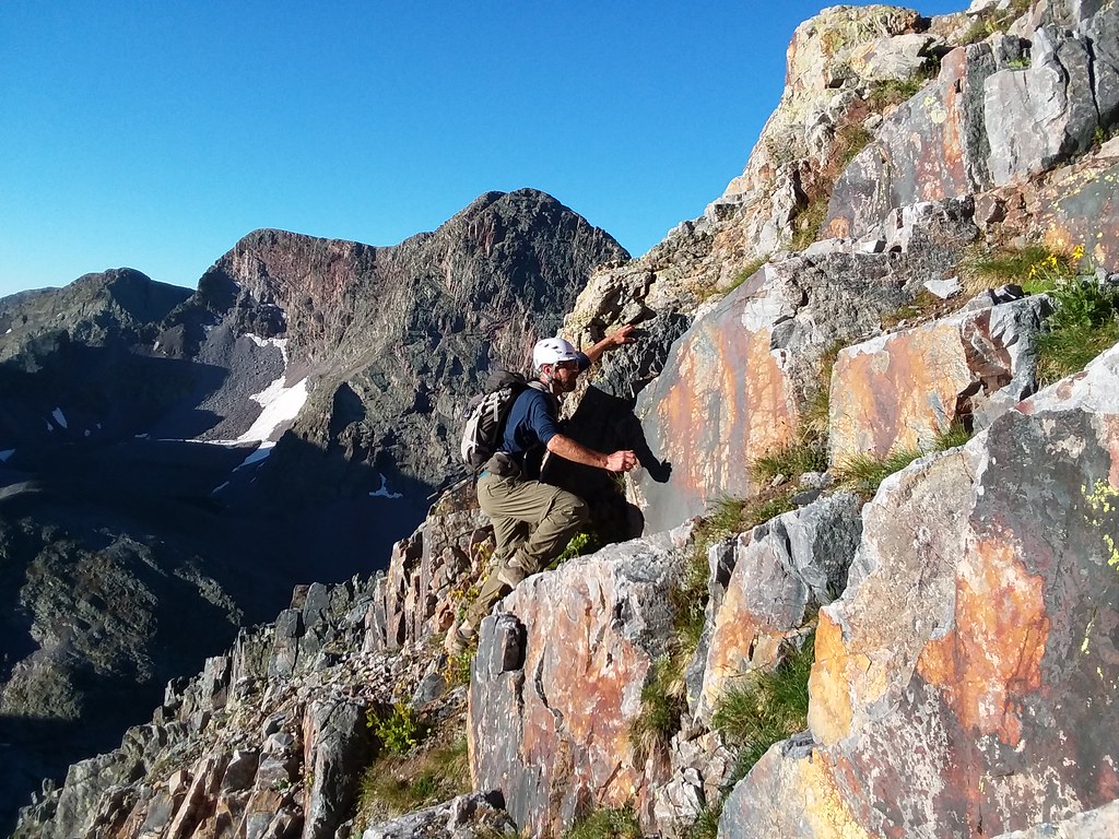
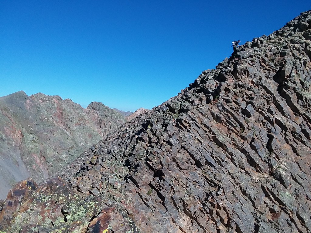
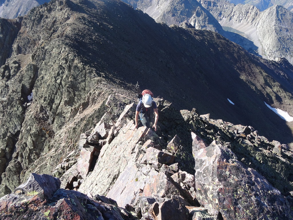
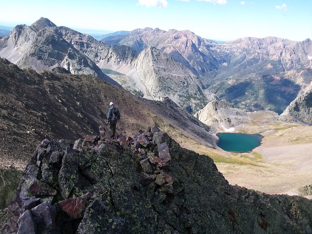
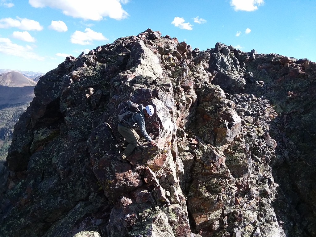
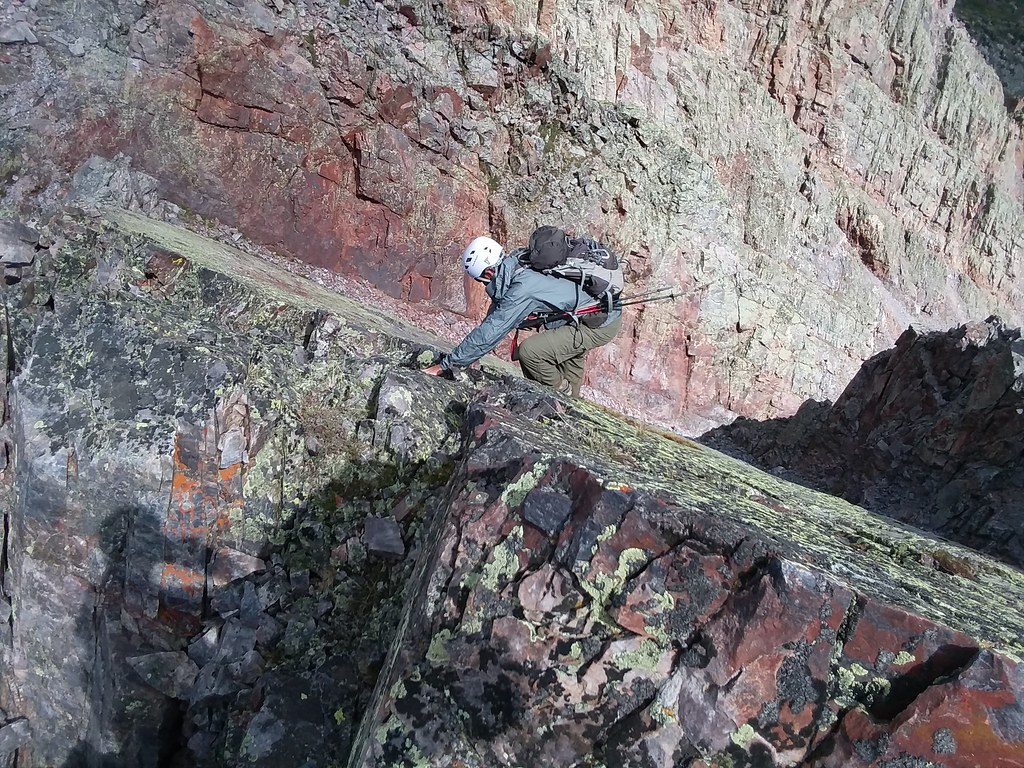
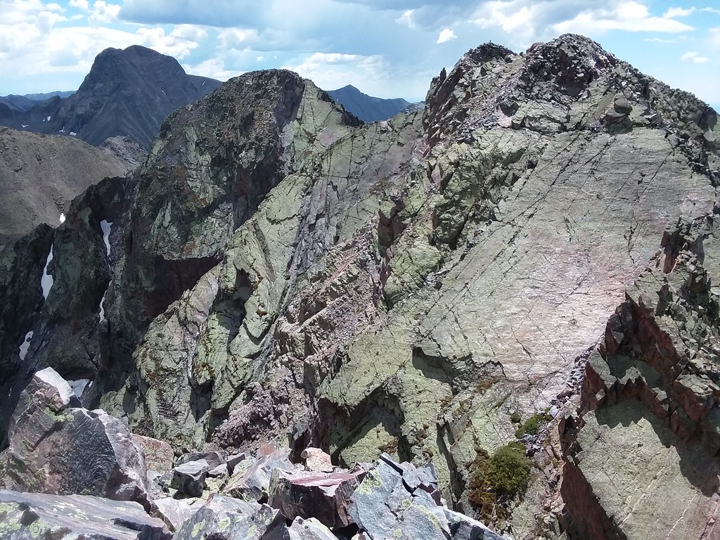
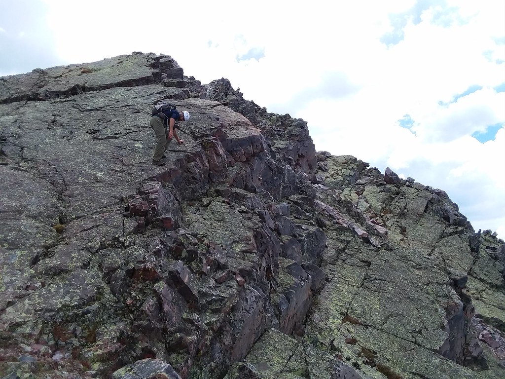
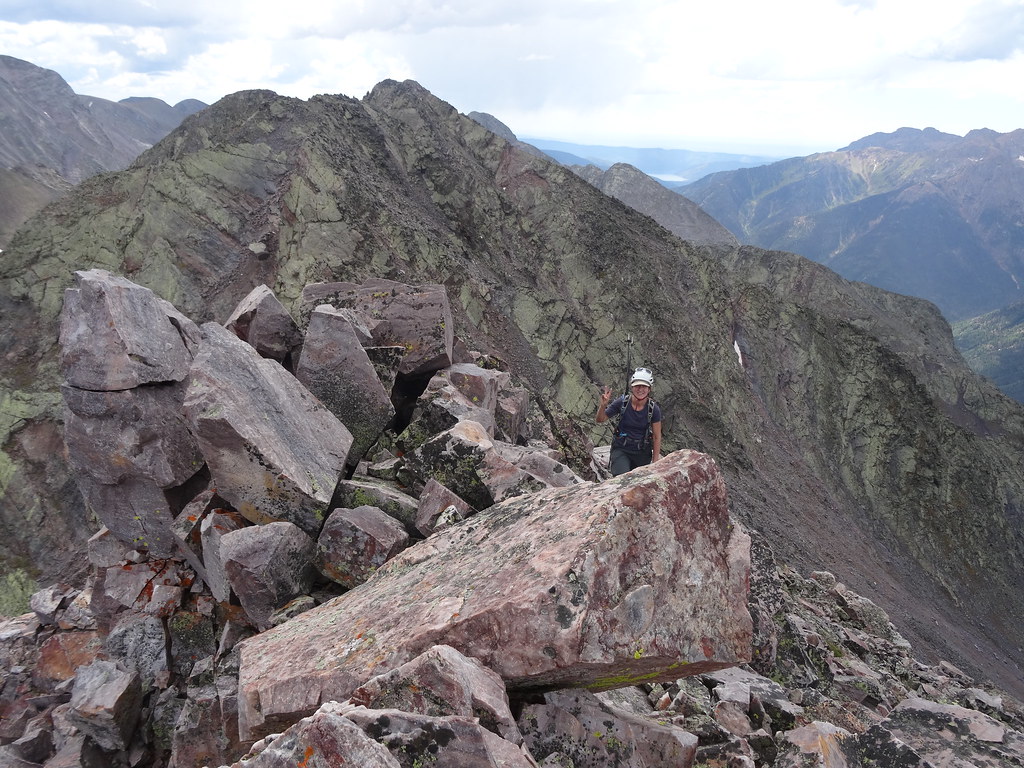
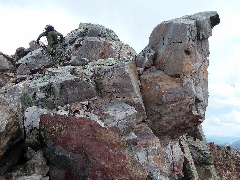
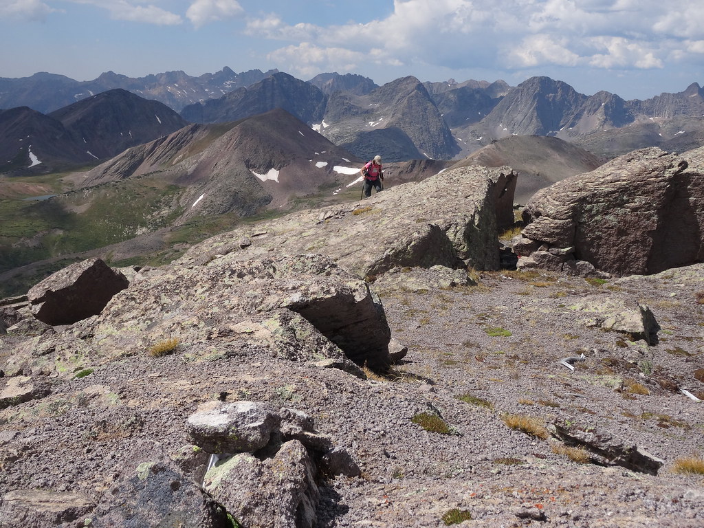
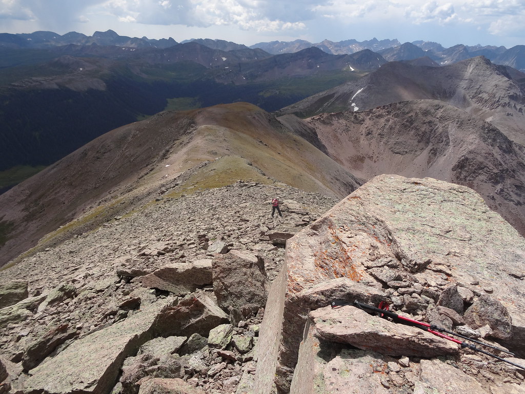
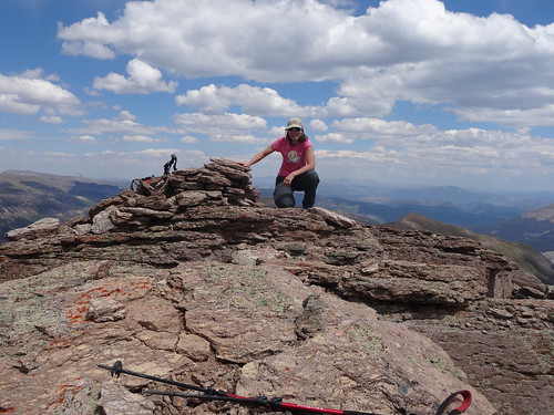
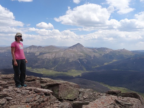
We got to the 2nd summit of the day around 7.40 am, but didn't stay long as we were anxious to see the terrain to the next 13er. The next section of the ridge was class 2 talus hopping until we reached the false summit of "P3". The class 3 knife edge was fun and exposed. Past that section, Shawn stuck to the ridge solving a Class 5 boulder problem en route, while I took to the known Class 4 bypass. Overall, P3 summit which we reached around 9 am, very much reminded us of Peak 9, just with less scrambling. After refueling, we made our way towards P2. Scrambling got better the closer we got. We stayed on the ridge, which meant downclimbing the top of a huge sloping slab, the first of many that day.
Heading towards P3
Me on knife-edge
Shawn navigates the knife-edge
Heading down from P3
Shawn downclimbs the ridge proper, C4 bypass is to his left
The look at the remaining ridge
Downclimb towards P2
Pretty good exposure
Me on the slab
Look in rearview mirrow
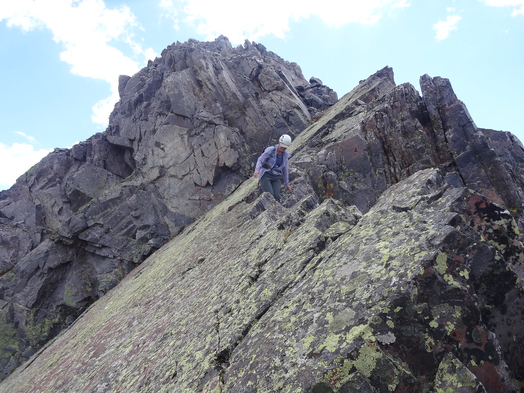
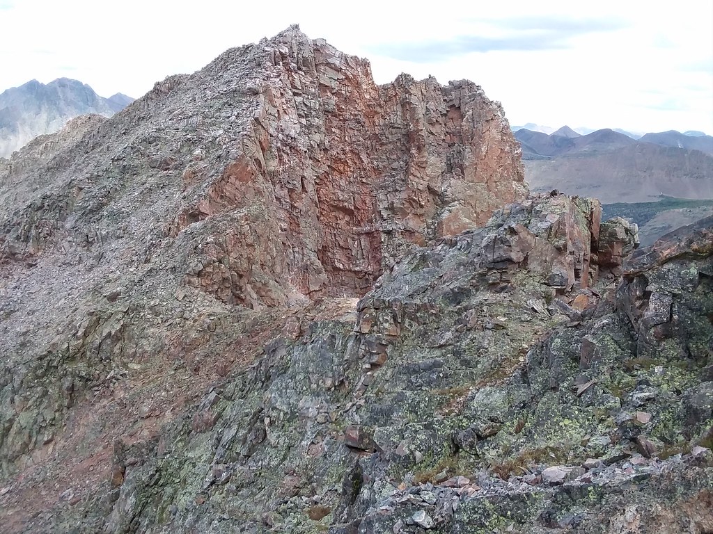
We got to the summit of P2 around 11.30 am, still feeling surprisingly chirpy. Weather looking pretty good, I pitched the idea to keep going and tag an unranked P1. Turns out Shawn also wanted to run the full ridge. Past P2, we didn't have any beta, but wanted to stay on the ridge as much as possible. The first tower we encountered looked pretty serious, so we skirted it on the left (SW) side and then took a sloping ramp up to the top of the ridge. After that we were able to stick to the ridge proper. We suspected the next high bump on the ridge would be the unranked P1.
More slabs
The ridge ahead
More slab climbing
The views
What a fun ridge!
It just keeps going
Looking back at all the bumps
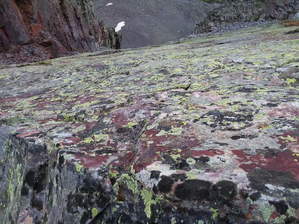
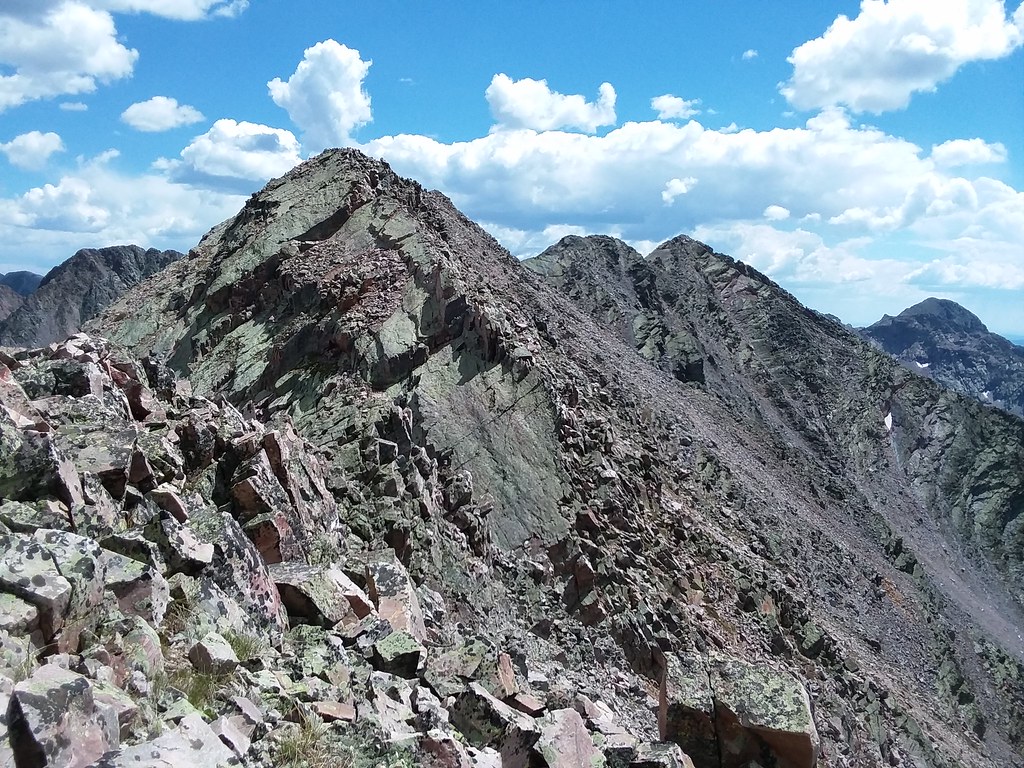
The ridge mellowed, so we were able to climb it directly, a sustained Class 3. All this time I marveled at the rock quality - it was pink or purple marble, I've never seen anything quite like that before, which made scrambling increasingly enjoyable. By this point we were sufficiently tired and started to slow down. We still had a couple "bumps" on the ridge which we tackled up and over before it finally relented and kicked out out to the talus shoulder. Time was past 2pm. From there we took a mellow talus gully down to the basin. Until now we stayed within sights of each other (which wasn't hard to do on the ridge), but in the basin we ended up separating. I waited for Shawn, he waited for me, we didn't see each other, and ended taking 2 different lines through the cliffs. I found a steep grassy gully though 2 sets of cliffs, while Shawn downclimbed some ledges. I got to camp around 5 pm, with Shawn arriving about 40 minutes later. Our job in Rock Creek was done.
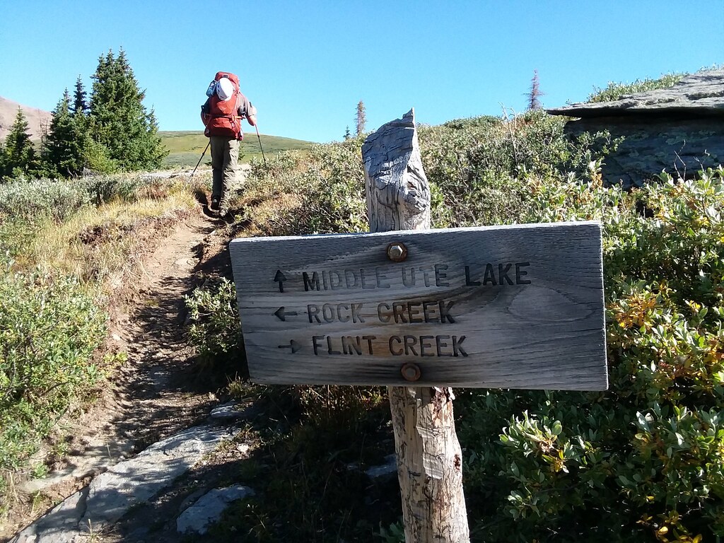
Day 9 - pack out and UN 13,169
1,900 ft ascent, 2,000 ft descent, 8 miles, 8 hours
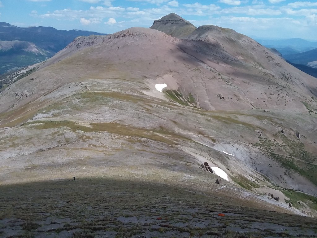
In our signature style, we woke up around 6.30 am the next day to the alpenglow on Peters and slowly started to pack up the camp. Thankfully, as we went through 5 days of food since the last backpack, our packs got significantly lighter, with only 2 more days of food remaining. I was finally able to move around with the pack. We left the camp by 9 am and took the Middle Ute lake trail. From the top of the Continental Divide we took our last look in the hospitable Rock creek drainage. Our next goal was UN 13,169. Middle Ute lake trail is very faint (and doesn't even show up on Gaia), but the going was fairly easy. We did manage to get caught up in the willows, but eventually found Continental Divide National Scenic Trail around noon - what a joy. We stashed our heavy packs and took the gentle east ridge up UN 13,169, where we arrived at 1.30 pm, with weather still holding up nicely. We were flabbergasted to find another human on the summit.
Heading out
Leaving the Rock creek basin behind
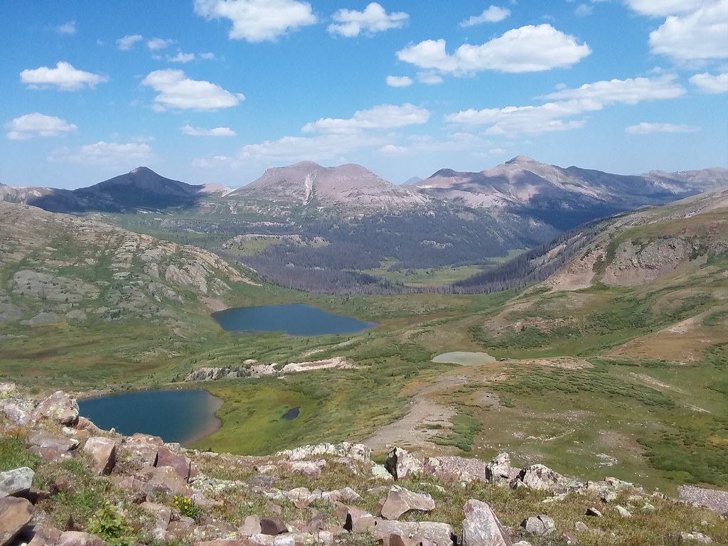
Twin Lakes
Cruising on CDT with RGP in the distance
Ascending the East ridge of UN 13,169
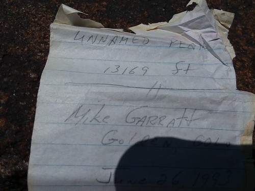
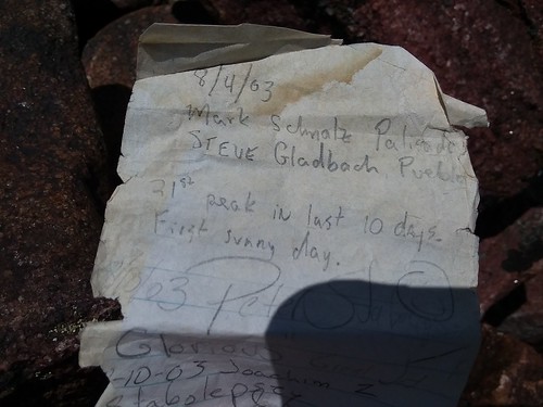
1993 summit register - pretty cool
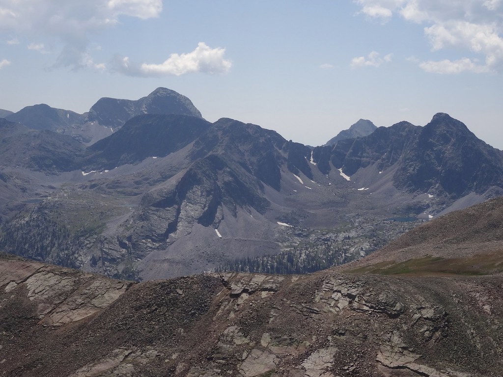
Oso with the Peters' ridge from the day before
Ute ridge still looking pretty far away
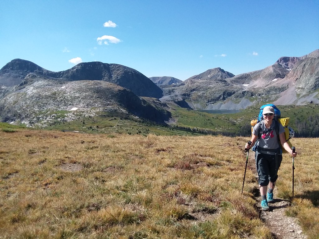
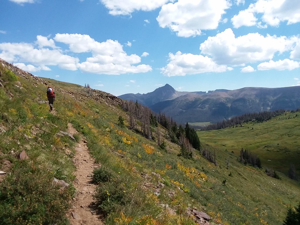
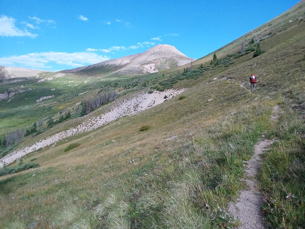
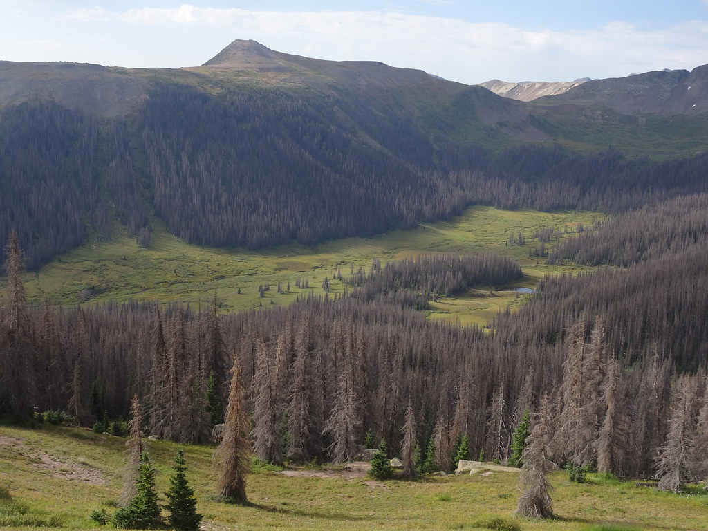
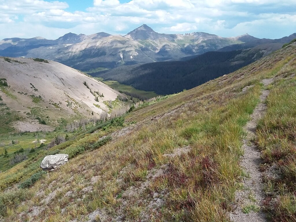
We returned to the big packs after 2 hours away (with a big chunk of time on the summit) and resumed our trekking. The next task was to get as close as possible to the Ute Ridge peaks, our goals the last day. At this point we realized that there will be no water on the upper rampants of the peaks, so we planned to camp somewhere near the treeline. RGP and Windows dominated the views the entire day. Once on the Continental Divide trail, the miles flew by pretty quickly - it is such a nice trail. After West Ute lake, we left CDT and took the West Ute trail, which was a bit rougher, but still went fairly well, especially since it was mostly downhill.
West Ute creek trail points towards the Ute Ridge
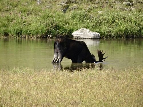
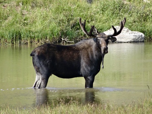
After dropping down several hundred feet down into the West Ute creek drainage we saw a sign for the Starvation pass! Now, the food topic, previously a taboo, was becoming the main subject of our thoughts towards the end of the trip. We have succumbed to rationing and measuring calories, so clearly the sign was pointing us in the right direction. So we continued. And then we saw it - a MOOSE!
Moose
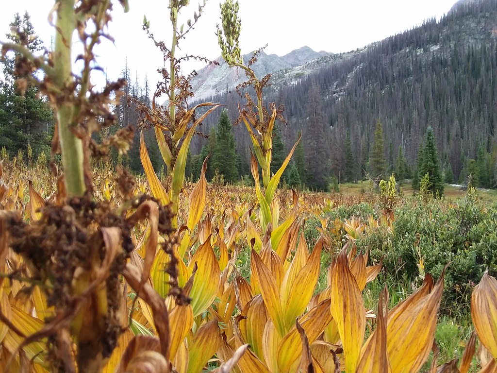
He was munching on some weeds in the pond when we rounded a corner. It took awhile for him to acknowledge our existence, but then we had a dilemma - the trail was passing right by the side of the pond. He seized us up for a while, but likely our still giant packs made us look a little bigger, so he abruptly exited from the pond. We quickly hiked on the trail, crossing his tracks in the process and started gaining elevation towards the Starvation pass. We fairly soon realized though that we won't have water if we go past the treeline, as the trail was heading away from the creek, so we made a camp in a nice meadow by the creek @11,600 ft, arriving there by 5 pm.
Day 10 - UN 13,308, 13,342, Ute ridge (13,455) and return to Beartown
3,000 ft ascent, 3,100 ft descent, 8.5 miles, 9 hours
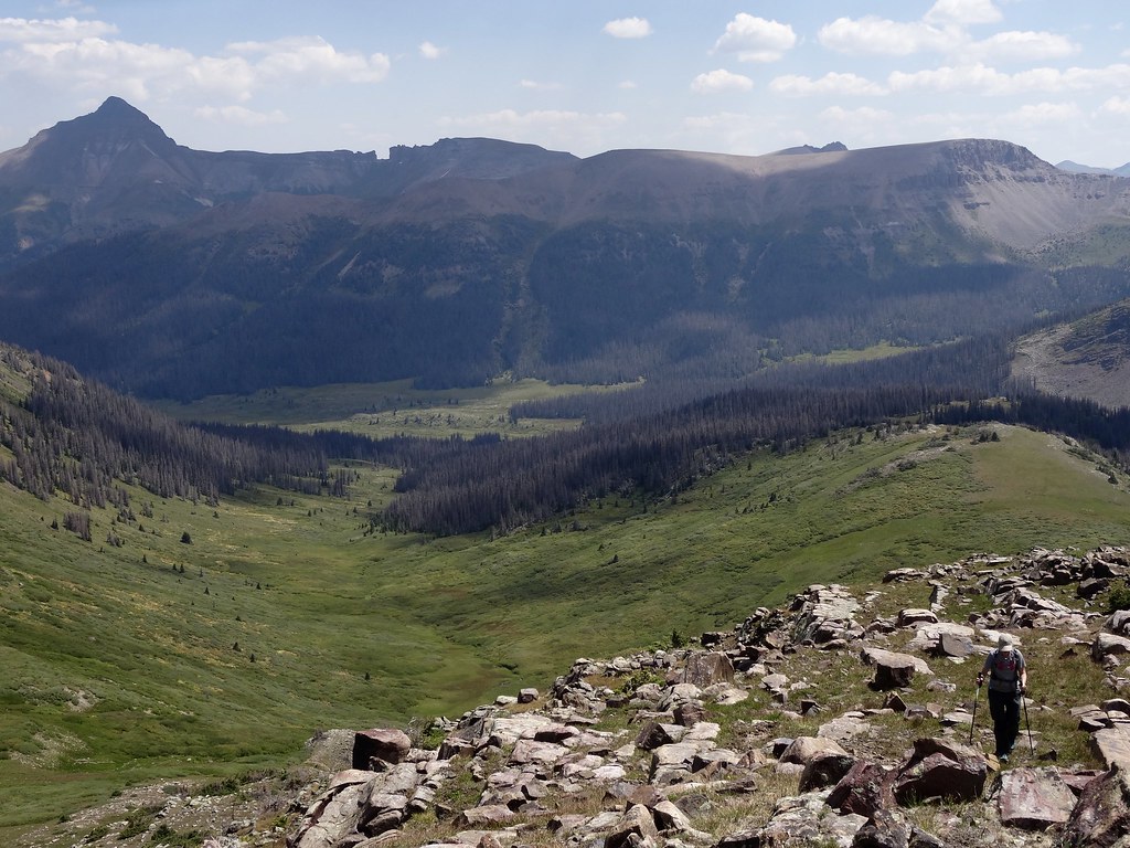
The last day. All right, we made a valiant effort to wake up early. I think my alarm went off at 5 am, and I hit a snooze button, then another one. I couldn't hear Shawn stirring either. Finally we were awake a quarter past 6 am, just in time for the alpenglow. Our glorious campsite had one downside - since the tents were so close to the creek, they accumulated condensation and were soaking wet. But our departure couldn't be delayed any longer, so we ate our last breakfasts, packed up soggy tents and started heading up by 8 am. But almost immediately we ran into large patches of wild strawberries, raspberries and gooseberries, and our upward progress came down to a halt.
Heading up towards the pass in the morning
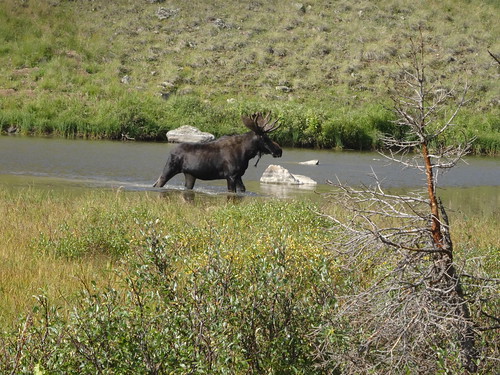
Blue pond is where we saw the moose the day before
By 9.30 am we made it to the pass (I blame raspberry patches for the delays) and it was time to get down to business - our last 3 peaks of the trip. By that point we could comfortably fit our fully-loaded day packs inside of the large pack, so the transition time was minimal. We set out for UN 13,308 first. This was the closest we were to Beartown in days and could even make out the parking lot from the summit. But first, we had 2 more peaks to go. We reversed our steps to the saddle, checked up on our big packs (no critters) and continued on to UN 13,342. The 2nd summit somehow went faster than the 1st, and we got there by noon.
Approaching the summit of UN 13,342
Long traverse to Ute Ridge
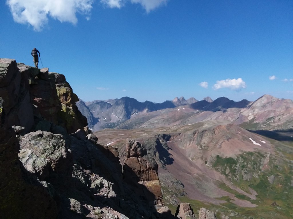
Me nearing the summit of peak #20 of the trip
Final summit of the trip
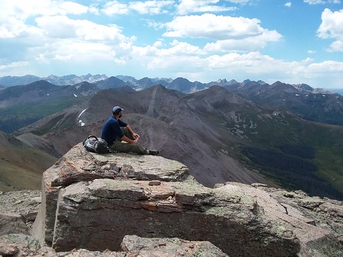
And then there was the last one - Ute Ridge. We got there around 1.30 pm and stayed for an hour. Even the talk of Handlebars' burgers in Silverton high above the Starvation Gulch couldn't peel Shawn away from the views. For the descent, we utilized the game trails and contoured around UN13,342 (Shawn's idea), catching our trail from the morning on the south side. We made back to our packs in an hour, which was easier than expected. From there, we hiked on sometimes steep and overgrown trails down to Beartown, where we made it by 5 pm. Shawn was kind enough to go and get the truck, which was parked closer to Hunchback pass TH, while I waited with the packs. After a 2.5 hour ride, we made it to the Handlebars 15 minutes before closing! All in all, it was a great trip. Weminuche never disappoints, and I am looking forwards to the next backpacking trip already.
Until next time, Weminuche!
My GPS Tracks on Google Maps (made from a .GPX file upload):
Wow! Very cool ridges and slabs! I agree with PaulVee, looks like a blast!
But it looked like neither of you telescoped down your poles when doing it. Didn't they get in your way? Looks like they could easily catch on an outcrop and throw off your balance. Thanks for sharing!
The P's were indeed a blast, had been looking forward to that ridge ever since leaving Sunlight basin and it didn't disappoint. I'll be headed back to Ute lakes to fish and hang out with moose if nothing else. That area feels as remote as it looks, a real treasure.
MtnHub:Telescoping poles wasn't a possibility, they got pretty jacked during the prior 3 days.
Caution: The information contained in this report may not be accurate and should not be the only resource used in preparation for your climb. Failure to have the necessary experience, physical conditioning, supplies or equipment can result in injury or death. 14ers.com and the author(s) of this report provide no warranties, either express or implied, that the information provided is accurate or reliable. By using the information provided, you agree to indemnify and hold harmless 14ers.com and the report author(s) with respect to any claims and demands against them, including any attorney fees and expenses. Please read the 14ers.com Safety and Disclaimer pages for more information.
Please respect private property: 14ers.com supports the rights of private landowners to determine how and by whom their land will be used. In Colorado, it is your responsibility to determine if land is private and to obtain the appropriate permission before entering the property.